Skip to search
Skip to main content
Skip to first result
Digital Commonwealth
Folders
Sign Up / Log In
Search for
Search
Search
Search
Basic
Advanced
Explore
Map
Collections
Institutions
Formats
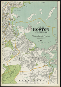
For Educators
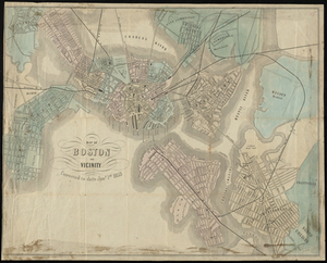
Primary Source Sets
Lesson Plans
Using Primary Sources
Searching Digital Commonwealth
For Institutions
Join Digital Commonwealth
Conferences, Trainings, & Events
How to Contribute Collections
Digitization Services
Board & Committees
Frequently Asked Questions
About
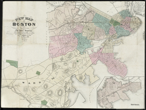
About Digital Commonwealth
News & Announcements
Copyright & Terms of Use
Harmful Content Statement
Partners
API
Contact Us
Search
Search Constraints
Start Over
Save Search
Your search:
More Like
commonwealth-oai:z029pk13f
✖
Remove constraint More Like: commonwealth-oai:z029pk13f
« Prev. |
1
-
100
of
2,945
|
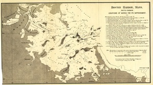
Next »
Sort
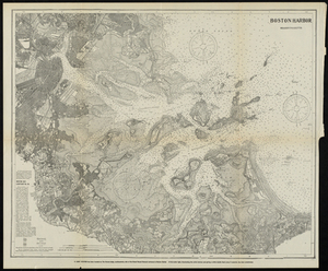
by relevance
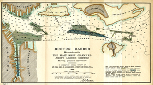
relevance
title
date (asc)
date (desc)
Number of results to display per page
100
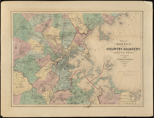
per page
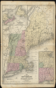
per page
10
per page
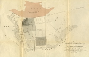
20
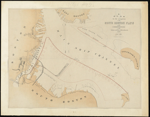
per page
50
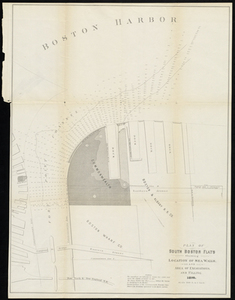
per page
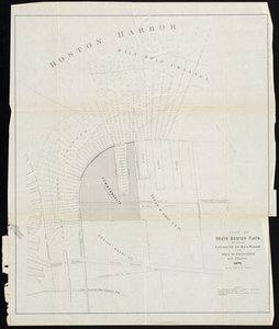
100
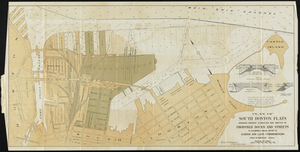
per page
View results as:
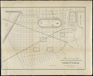
List
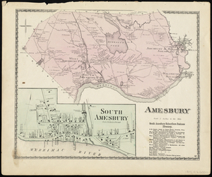
list view
Maps
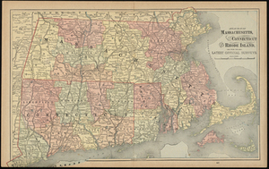
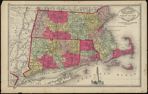
map view
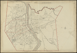
Gallery
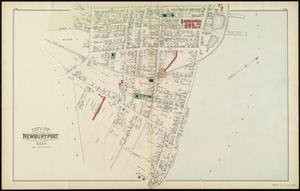
grid view
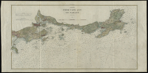
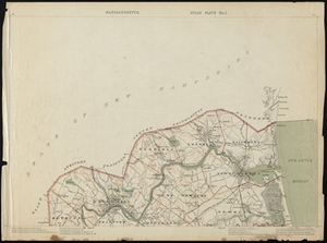
Search Results
1.
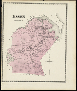
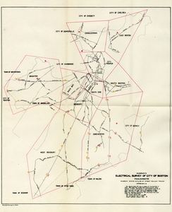
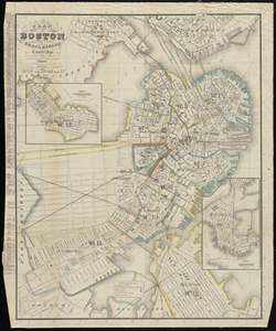
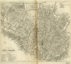
Electrical Survey of City of Boston
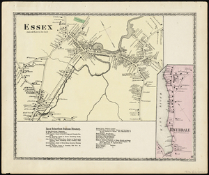
2.
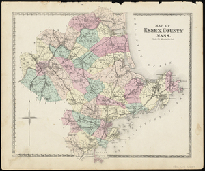
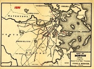
Map of Boston Showing the Location of Electric Car Tracks
3.
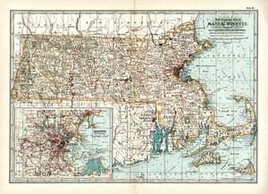
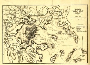
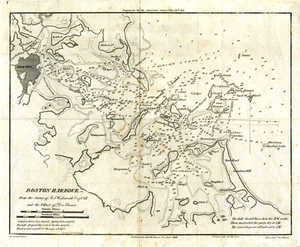
Boston Harbor
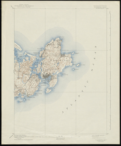
4.
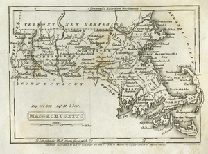
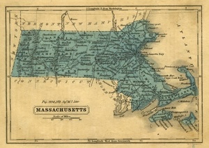
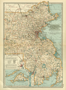
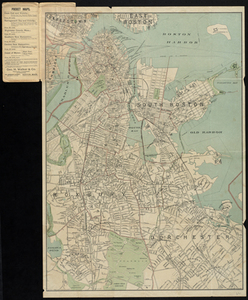
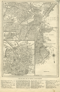
Latest map of Boston City, Massachusetts
5.
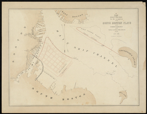
Plan of the First Section for the Occupation of the South Boston Flats by the Commissioners on the Harbors and Flats of...
6.
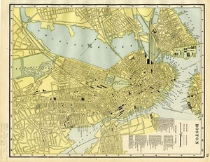
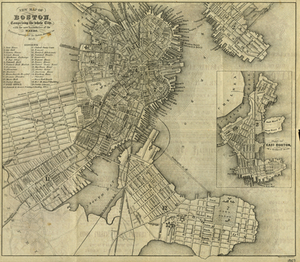
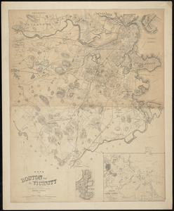
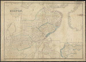
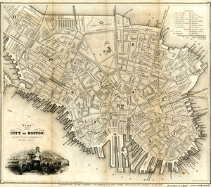
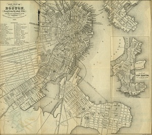
Boston
7.
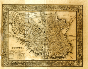
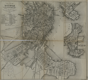
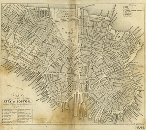
Boston
8.
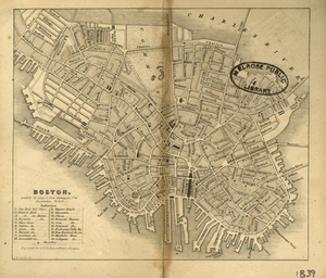
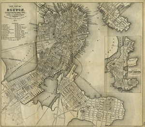
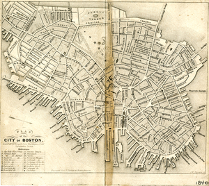
Boston
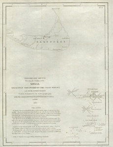
9.
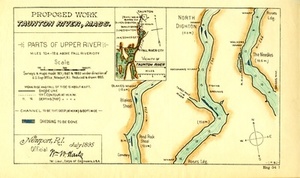
Boston With its Environs, 1775 & 1776.
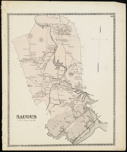
10.
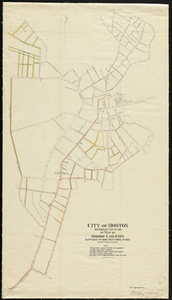
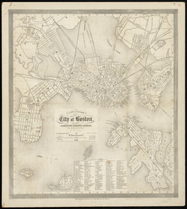
City of Boston
11.
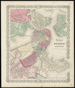
Colton's Map of Boston and Adjacent Cities.
12.
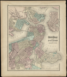
Gray's Atlas Map of Boston and Adjacent Cities
13.
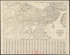
Map of Boston
14.
Map of Boston, 1875, After the Latest Surveys, with All the Improvements in Progress. A Complete Guide to Strangers.
15.
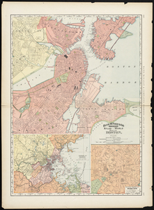
Map of Boston, 1884.
16.
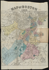
Map of Boston 1886
17.
Map of Boston and Suburbs
18.
Map of Boston and vicinity
19.
Map of Boston, for 1875.
20.
Map of Boston from the Latest Surveys
21.
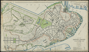
Map of Boston Proper. Charlestown, South Boston and East Boston Showing Original Territory of Old Boston, the Areas Filled and...
22.
Map of Boston Showing Freight and Passenger Depots, Grain Elevators, Steamboat Wharves, etc.
23.
Map of Boston, With All the Latest Improvements.: A Complete Guide to Strangers.
24.
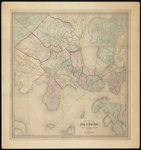
Map of the City of Boston
25.
Map of the City of Boston, Massachusetts.
26.
Map to Accompany Report of State Board on Docks and Terminal Facilities: Showing Existing Conditions and Proposed Changes at...
27.
A New & Complete Map of the City of Boston with Part of Charlestown, Cambridge and Roxbury.
28.
A New & Complete Map of the City of Boston, with part of Charlestown, Cambridge, Brookline, Dorchester &c.
29.
New Map of Boston Compiled from the Latest Surveys
30.
New Map of Boston: Comprising the Whole City with the New Boundaries of the Wards
31.
New Map of Boston: Comprising the Whole City, With the New Boundaries of the Wards.
32.
New Map of Boston: Comprising the Whole City, With the New Boundaries of the Wards.
33.
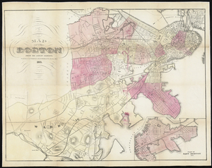
New Map of Boston: Comprising the Whole City with the New Boundaries of the Wards.
34.
New Map of Boston: Comprising the Whole City, With the New Boundaries of the Wards.
35.
New Map of Boston: Comprising the Whole City with the New Boundaries of the Wards.
36.
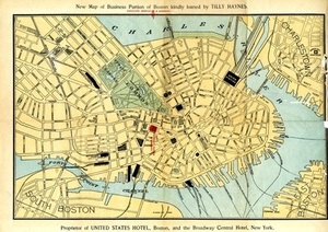
New Map of the Business Portion of Boston Kindly Loaned by Tilly Haynes, Proprietor of the United States Hotel, Boston, and the...
37.
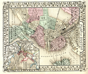
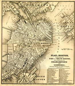
Plan of Boston.
38.
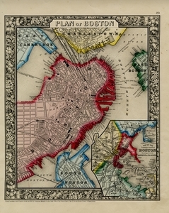
Plan of Boston
39.
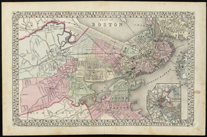
Plan of Boston
40.
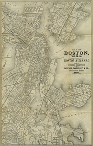
Plan of Boston and its Vicinity Prepared from the Best Authorities for the Boston Almanac
41.
Plan of Boston: Comprising a Part of Charlestown and Cambridge
42.
Plan of Boston, Prepared Under the Direction of Otis Clapp (Alderman), William W. Clapp, Jr., Justin Jones (Councilmen),...
43.
Plan of Boston Proper Showing Changes in Street and Wharf Lines 1795 to 1895
44.
Plan of Boston With Parts of East and South Boston, Also Portions of Charlestown and Cambridge.
45.
Plan of the City of Boston
46.
Plan of the City of Boston
47.
Plan of the City of Boston
48.
Plan of the City of Boston.
49.
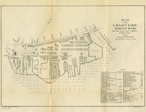
Plan of the U.S. Navy Yard, Boston, Mass. Showing It's Present Condition, June 10, 1883
50.
Map of Boston and vicinity showing tracks operated by the Boston Elevated Railway Co., surface lines
51.
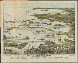
Bird's Eye View of Boston Harbor : in Colors, Along the South Shore to Plymouth, Cape Cod Canal and Provincetown Showing All...
52.
Boston and Adjacent Cities
53.
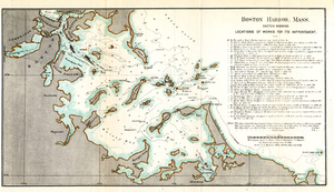
Boston Harbor, Mass.: Sketch Showing Locations of Works For Its Improvement.
54.
Boston Harbor, Mass.: Sketch Showing Locations of Works For Its Improvement.
55.
Boston Harbor, Massachusetts
56.
Boston Harbor, Massachusetts: The Main Ship Channel Above Lower Middle
57.
Boston Harbour: From the Survey of A.S. Wadsworth Esq., U.S.N, and the Survey of Des Barres.
58.
Boston Harbour: From the Survey of A.S. Wadsworth Esq., U.S.N, and the Survey of Des Barres.
59.
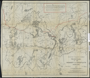
Boston Water Works: Water-sheds of the Sudbury and Cochituate Supplies
60.
Boston Y Sus Aldredores - Boston Et Ses Environs
61.
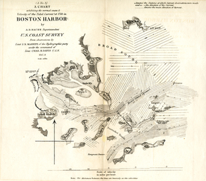
A Chart Exhibiting the Normal Course & Velocity of the Tidal Current at Ebb in Boston Harbor
62.
Map of Boston and the Country Adjacent, from Actual Surveys
63.
Map of the New England or Eastern States: Engraved to Illustrate Mitchell's School and Family Geography
64.
New Map of Boston: Comprising the Whole City, with the New Boundaries of the Wards
65.
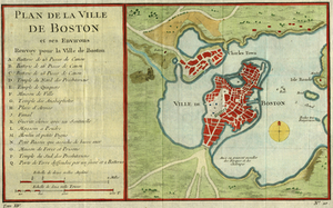
Plan De La Ville De Boston et ses environs
66.
Plan for the Occupation of Flats Owned by the Commonwealth in Boston Harbor
67.
Plan For the Occupation of the South Boston Flats by the Commissioners on the Harbors and Flats of Massachusetts
68.
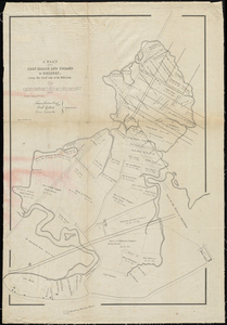
[Plan of Boundary Lines in Roxbury and the City of Boston.]
69.
Plan of South Boston Flats Showing Location of Sea Walls and Area of Excavations and Filling
70.
Plan of South Boston Flats Showing Location of Sea Walls and Area of Excavations and Filling
71.
Plan of South Boston Flats Showing Present Condition and Sketch of Proposed Docks and Streets to Accompany Annual Report of...
72.
A Plan of the Salt Marsh and Upland in Roxbury, Lying on the East Side of the Mill Creek.
73.
Plan Presented to the Honble the State Commissioners. For the Improvement of the Back Bay.
74.
Amesbury
75.
Amesbury
76.
Atlas Maps of Massachusetts, Connecticut and Rhode Island, from the Latest Official Surveys.
77.
City of Lawrence
78.
City of Newburyport
79.
Coast from Cape Ann to Nahant
80.
County Map of the States of New York, New Hampshire, Vermont, Massachusetts, Rhode Island, and Connecticut.
81.
Essex
82.
Essex
83.
Map of Essex County Mass.
84.
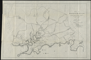
Map of Manchester, Mass.
85.
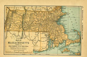
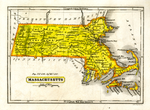
Map of Massachusetts
86.
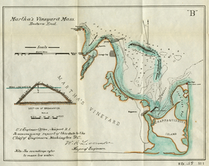
Martha's Vineyard Mass. Eastern End
87.
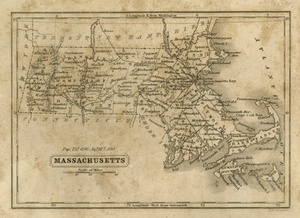
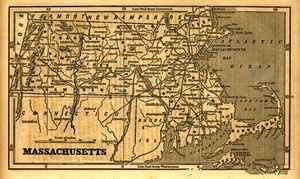
Massachusetts
88.
Massachusetts
89.
Massachusetts
90.
Massachusetts
91.
Massachusetts
92.
Massachusetts.
93.
Massachusetts. Atlas Plate no. 1
94.
Massachusetts, Eastern Part.
95.
Massachusetts, Gloucester Sheet
96.
Preliminary Sketch Showing the Position of the Shoal Recently Discovered by the Coast Survey
97.
Proposed Work, Taunton River, Mass.: Parts of Upper River
98.
Saugus
99.
Tunison's Massachusetts, Connecticut and Rhode Island
100.
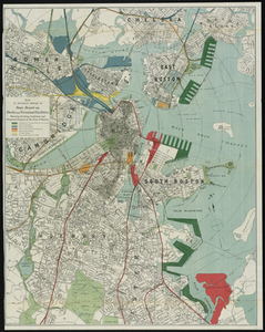
Boston elevated railway system
« Previous
Next »
1
2
3
4
5
…
29
30
Limit your search
Subject
Boston (Mass.)--Maps
2,181
Real property--Massachusetts--Boston--Maps
1,490
Landowners--Massachusetts--Boston--Maps
1,405
Massachusetts
472
Massachusetts--Maps
271
Roxbury (Boston, Mass.)--Maps
208
Boston
192
Pbs Newshour
162
more
Subject
»
Place
North and Central America
2,635
United States
2,514
Suffolk (county)
2,208
Boston
2,206
Massachusetts
1,940
Roxbury
227
South Boston
119
Dorchester
117
more
Place
»
Format
Maps/Atlases
2,606
Film/Video
236
Photographs
56
Documents
18
Manuscripts
12
Albums/Scrapbooks
8
Objects/Artifacts
7
Letters/Correspondence
5
more
Format
»
Available to use
No known restrictions
2,208
Creative Commons license
57
Date
View distribution
Current results range from
1631
to
2023
Date range begin
Date range end
View larger »
Unknown
18
Collection
Norman B. Leventhal Map Center Collection
2,141
Boston and New England Maps (Collection of Distinction)
2,091
Urban Maps (Collection of Distinction)
1,891
Historic Maps
278
American Archive of Public Broadcasting Collection
177
Boston Redevelopment Authority Collection
125
Oral Histories
57
Mapping Boston Collection
22
more
Collection
»
Institution
Boston Public Library
2,227
Salem State University Archives and Special Collections
278
Internet Archive
177
Yiddish Book Center
57
State Library of Massachusetts
56
Williams College
41
Private Collection
22
University of Massachusetts Boston, Joseph P. Healey Library
20
more
Institution
»


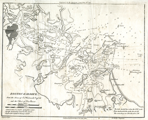
![[Plan of Boundary Lines in Roxbury and the City of Boston.]](https://bpldcassets.blob.core.windows.net/derivatives/metadata/commonwealth-oai:ws859n97k/image_thumbnail_300.jpg)