Skip to search
Skip to main content
Digital Commonwealth
Sign Up / Log In
Search for
Search
Search
Search
Basic
Advanced
Explore
Map
Collections
Institutions
Formats
For Educators
Primary Source Sets
Lesson Plans
Using Primary Sources
Searching Digital Commonwealth
For Institutions
Join Digital Commonwealth
Conferences, Trainings, & Events
How to Contribute Collections
Digitization Services
Board & Committees
Frequently Asked Questions
About
About Digital Commonwealth
News & Announcements
Copyright & Terms of Use
Harmful Content Statement
Partners
API
Contact Us
Salem State University Archives and Special Collections
Historic Maps
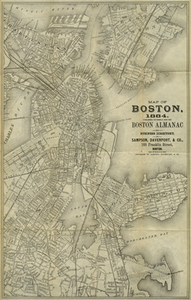
Map of Boston, 1884.
View this item online at Salem State University Archives and Special Collections
Item Information
Title:
Map of Boston, 1884.
Description:
Covers downtown Boston, Charlestown, East Boston, Back Bay, Roxbury, and the northern part of Dorchester. Published expressly for the Boston Almanac and Business Directory by Sampson, Davenport, & Co., 1884.
Creator:
Sampson, Davenport & Co
Date:
1884
Format:
Maps/Atlases
Location:
Salem State University Archives and Special Collections
Collection (local):
Historic Maps
Series:
Boston
Subjects:
Boston (Mass.)--Maps
Boston
Massachusetts
Places:
Massachusetts
>
Suffolk (county)
>
Boston
Link to Item:
http://digitalcommons.salemstate.edu/maps_boston/10
Terms of Use:
Rights status not evaluated.
Contact host institution for more information.
Identifier:
G 3764 .B6 1884 .S27
show more...
View MODS XML
More Like This
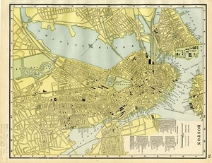
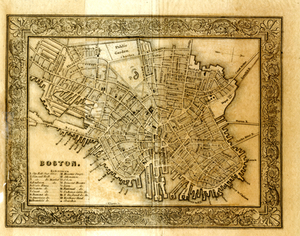
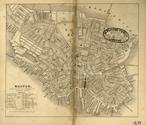
Boston
Boston
Boston
Boston Harbor
Find More Like This >>
Tools
Share
Facebook
Pinterest
X
Reddit
Tumblr
Email
Copy link
Add to Folder
Questions/Comments
Cite This Item