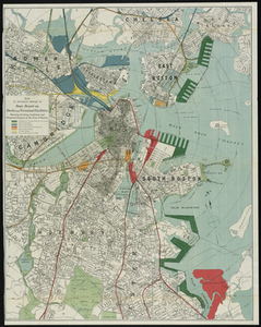
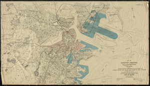
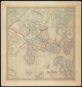
Map to Accompany Report of State Board on Docks and Terminal Facilities: Showing Existing Conditions and Proposed Changes at the Port of Boston
Description:
Map key shows Commonwealth flats now owned or to be acquired, Parks and boulevards, Old shore line of city proper and properties and lines of four railroads. Distance from State House measured in 1/2 mile increments. Taken from a state Report of State Board on Docks and Terminal Facilities, 1898.