Skip to search
Skip to main content
Skip to first result
Digital Commonwealth
Folders
Sign Up / Log In
Search for
Search
Search
Search
Basic
Advanced
Explore
Map
Collections
Institutions
Formats
For Educators
Primary Source Sets
Lesson Plans
Using Primary Sources
Searching Digital Commonwealth
For Institutions
Join Digital Commonwealth
Conferences, Trainings, & Events
How to Contribute Collections
Digitization Services
Board & Committees
Frequently Asked Questions
About
About Digital Commonwealth
News & Announcements
Copyright & Terms of Use
Harmful Content Statement
Partners
API
Contact Us
Search
Search Constraints
Start Over
Save Search
Your search:
More Like
commonwealth-oai:z029pk45q
✖
Remove constraint More Like: commonwealth-oai:z029pk45q
« Prev.
|
201
-
300
of
1,461
|
Next »
Sort
by relevance
relevance
title
date (asc)
date (desc)
Number of results to display per page
100
per page
per page
10
per page
20
per page
50
per page
100
per page
View results as:
List
list view
Maps
map view
Gallery
grid view
Search Results
201.
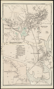
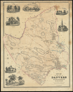
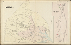
Danvers
202.
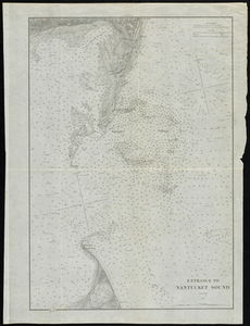
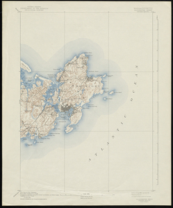
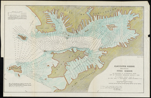
Entrance to Nantucket Sound
203.
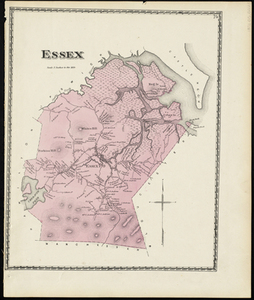
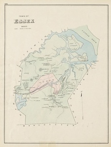
Essex
204.
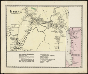
Essex
205.
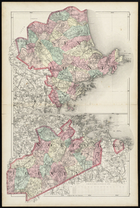
Essex County; Norfolk County
206.
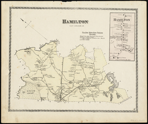
Hamilton
207.
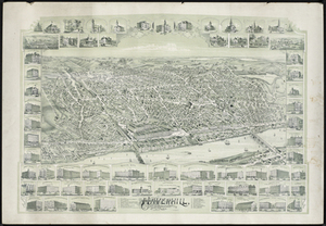
Haverhill, Massachusetts
208.
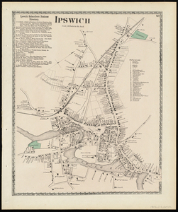
Ipswich
209.
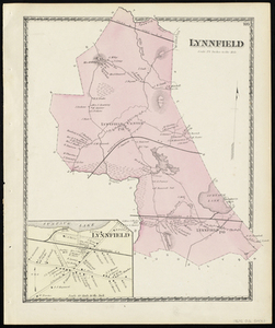
Lynnfield
210.
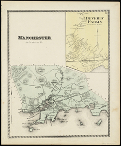
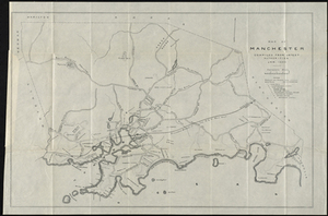
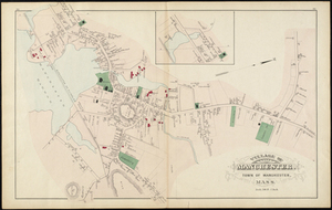
Manchester
211.
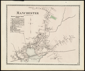
Manchester
212.
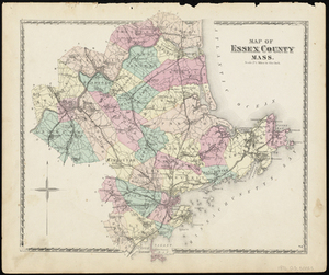
Map of Essex County Mass.
213.
Map of Manchester, Mass.
214.
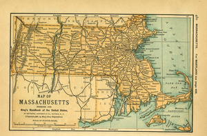
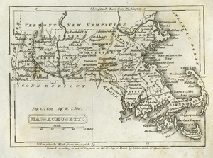
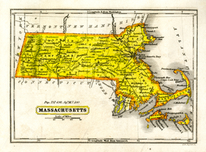
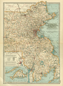
Map of Massachusetts
215.
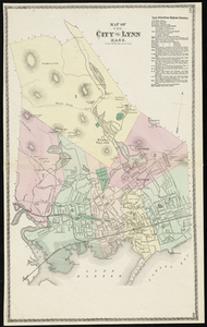
Map of the City of Lynn Mass.
216.
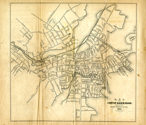
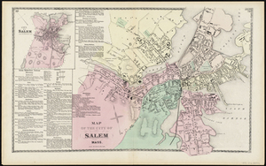
Map of the City of Salem
217.
Map of the City of Salem Mass.
218.
Map of the Town of Danvers Massachusetts
219.
Massachusetts
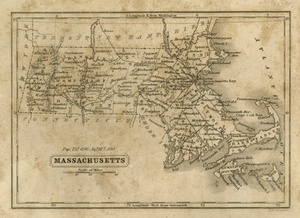
220.
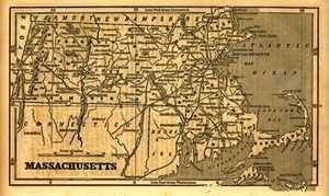
Massachusetts
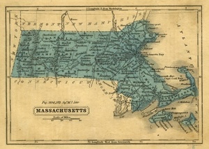
221.
Massachusetts
222.
Massachusetts
223.
Massachusetts
224.
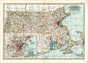
Massachusetts.
225.
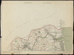
Massachusetts. Atlas Plate no. 1
226.
Massachusetts, Chatham Sheet
227.
Massachusetts, Eastern Part.
228.
Massachusetts, Gloucester Sheet
229.
Massachusetts New Bedford Sheet
230.
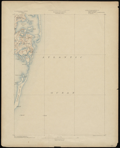
Massachusetts, Provincetown Sheet
231.
Massachusetts, Provincetown Sheet
232.
Massachusetts, Yarmouth Sheet
233.
Massachusetts-New Hampshire, Newburyport sheet
234.
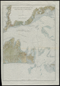
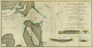
Nantucket and Vineyard Sounds: from Cross Rip to Nobska Point
235.
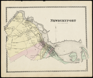
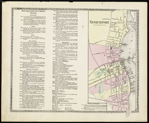
Newburyport
236.
Newburyport
237.
Newburyport Harbor, Mass.
238.
Newburyport Harbor, Massachusetts
239.
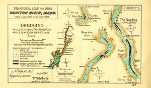
Parts of Taunton River, Mass.
240.
Peabody
241.
Peabody
242.
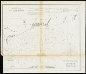
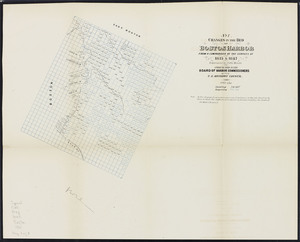
Preliminary Chart of Bass River Harbor Massachusetts
243.
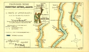
Proposed Work, Taunton River, Mass.: Parts of Upper River
244.
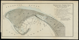
Provincetown Harbor, Mass.
245.
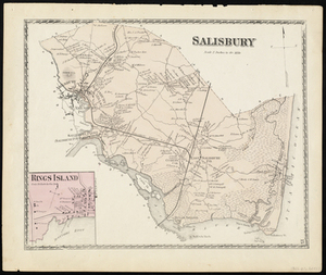
Salisbury
246.
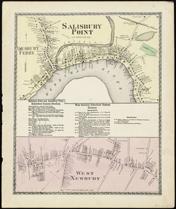
Salisbury Point
247.
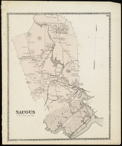
Saugus
248.
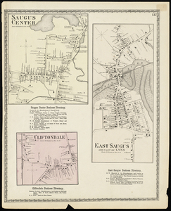
Saugus Center
249.
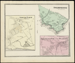
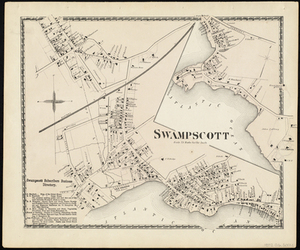
Swampscott
250.
Swampscott
251.
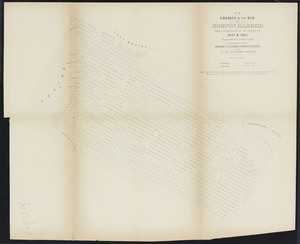
Taunton River Mass.: Progress Map for 1893 from 1. July 1892 to 30. June 1893
252.
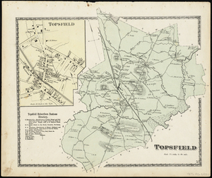
Topsfield
253.
Town of Danvers
254.
Town of Essex Mass.
255.
Tunison's Massachusetts, Connecticut and Rhode Island
256.
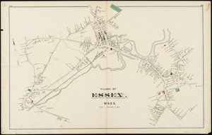
Village of Essex, Mass.
257.
Village of Manchester. Town of Manchester, Mass.
258.
Wellfleet Harbor Massachusetts Showing Proposed Improvements
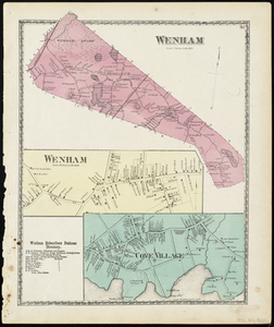
259.
Wenham
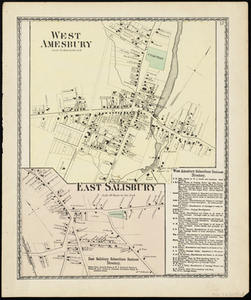
260.
West Amesbury; East Salisbury
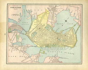
261.
City of Portland Maine.
262.
Gloucester Harbor, Massachusetts: Inner Harbor
263.
Newburyport Harbor, Mass. Plan Showing Changes in Shore Lines at Entrance, the Location and Condition of the Jetties, and the...
264.
Boston Bay and Harbor
265.
Boston Harbor
266.
Boston Harbor & vicinity
267.
Boston Harbor Mass : Charles River from Brookline Street bridge to Market Street bridge
268.
Boston Harbor, Mass : map of Charles River from Brookline Street bridge to its mouth
269.
Boston Harbor, Massachusetts
270.
Boston Harbor, Massachusetts
271.
Boston Harbor, Massachusetts
272.
Boston Harbor, Massachusetts
273.
Boston Harbour : from the survey of A.S. Wadsworth, Esq., U.S.N. and the chart of Des Barres
274.
Boston Harbour
275.
Boston Harbour : from the survey of A.S. Wadsworth Esq. U.S.N. and the chart of Des Barres
276.
Boston Inner Harbor Massachusetts
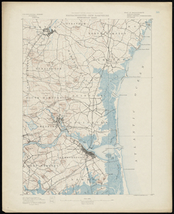
277.
Changes in the bed of Boston Harbor from a comparison of the surveys of 1835-61
278.
Changes in the bed of Boston harbor. Sheet 1: From a comparison of the surveys of 1835 & 1847
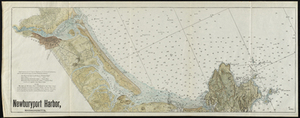
279.
Changes in the bed of Boston harbor. Sheet 2: From a comparison of the surveys of 1847 & 1861
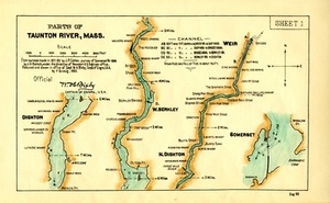
280.
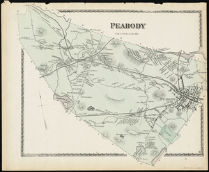
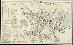
Changes in the bed of Boston harbor. Sheet 3: From a comparison of the surveys of 1835 & 1861
281.
A chart exhibiting the normal course & velocity of the tidal current at ebb in Boston Harbor
282.
Chart of Boston Harbor : from the best authorities, 1873
283.
Chart of Boston Harbor and Massachusetts Bay : with map of the adjacent country
284.
[Chart of Boston Harbor and the surrounding areas]
285.
Chart of Boston Harbour : surveyed in 1817
286.
A chart of the Harbour of Boston, with the soundings, sailing-marks and other directions
287.
Copy of a plan of South Bay
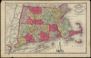
288.
Copy of part of plan of inner harbor of Boston, showing commissioners' lines
289.
Eldridge's new chart no. 4 Boston Harbor : compiled from the latest surveys
290.
Eldridge's new chart of Boston Harbor : compiled from the latest surveys
291.
Extract from the plan of the coast survey of Boston Harbor, 1847
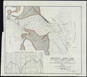
292.
The Harbor Park system
293.
J. Schedler's relief map of Boston and environs
294.
Map of Boston Harbor : showing commissioners' lines, wharves &c
295.
Map of Boston Harbor
296.
Map of Boston inner harbor
297.
Map of Boston inner harbor to accompany report under chapter 93, resolves of 1907, December 1, 1907
298.
Map of Boston proper, Charlestown, South Boston and East Boston : showing original territory of old Boston, the areas filled...
299.
Map of parts of Boston Harbor and its tributaries
300.
Map of the eastern junc. Broad Sound Pier, & Pt. Shirley railroad : steamboat lines and connections : established for the...
« Previous
Next »
1
2
3
4
5
6
7
…
14
15
Limit your search
Subject
Coastal
812
Regional Studies
734
Massachusetts
481
Boston
229
Pbs Newshour
162
Washington
156
Macneil Lehrer
131
Jeffrey Brown
126
more
Subject
»
Place
North and Central America
1,100
United States
1,100
Massachusetts
775
Dukes (county)
699
Martha's Vineyard
605
Chilmark
161
West Tisbury
123
Essex (county)
103
more
Place
»
Format
Photographs
682
Maps/Atlases
410
Film/Video
236
Objects/Artifacts
139
Documents
32
Albums/Scrapbooks
10
Posters
6
Letters/Correspondence
5
more
Format
»
Available to use
Creative Commons license
763
No known restrictions
47
Date
View distribution
Current results range from
1631
to
2019
Date range begin
Date range end
View larger »
Unknown
28
Collection
Harvard Forest Martha's Vineyard Collection
740
Historic Maps
278
American Archive of Public Broadcasting Collection
177
Oral Histories
57
Norman B. Leventhal Map Center Collection
54
Boston and New England Maps (Collection of Distinction)
52
Arlington Historical Society Collection
32
Photographic Collection
17
more
Collection
»
Institution
Harvard University
734
Salem State University Archives and Special Collections
278
Internet Archive
177
Yiddish Book Center
57
Arlington Historical Society
46
Boston Public Library
46
Williams College
41
University of Massachusetts Boston, Joseph P. Healey Library
20
more
Institution
»


![[Chart of Boston Harbor and the surrounding areas]](https://bpldcassets.blob.core.windows.net/derivatives/images/commonwealth:6108vs71d/image_thumbnail_300.jpg)


