Search

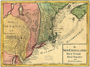
![[Map of New England, 31st]](https://bpldcassets.blob.core.windows.net/derivatives/images/commonwealth:wd3763094/image_thumbnail_300.jpg)


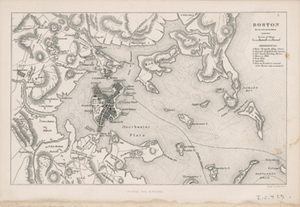
![[Chart of Boston Harbor and the surrounding areas]](https://bpldcassets.blob.core.windows.net/derivatives/images/commonwealth:6108vs71d/image_thumbnail_300.jpg)


Limit your search
- North and Central America2,387
- United States2,238
- Boston2,178
- Suffolk (county)2,178
- Massachusetts1,532
- Roxbury226
- South Boston119
- Dorchester116
- Maps/Atlases2,432
- Manuscripts22
- Norman B. Leventhal Map Center Collection2,098
- Boston and New England Maps (Collection of Distinction)2,044
- Urban Maps (Collection of Distinction)1,888
- American Revolutionary War-Era Maps (Collection of Distinction)144
- American Antiquarian Society Collection138
- Boston Redevelopment Authority Collection120
- Historic Maps56
- Mapping Boston Collection21