Skip to search
Skip to main content
Digital Commonwealth
Sign Up / Log In
Search for
Search
Search
Search
Basic
Advanced
Explore
Map
Collections
Institutions
Formats
For Educators
Primary Source Sets
Lesson Plans
Using Primary Sources
Searching Digital Commonwealth
For Institutions
Join Digital Commonwealth
Conferences, Trainings, & Events
How to Contribute Collections
Digitization Services
Board & Committees
Frequently Asked Questions
About
About Digital Commonwealth
News & Announcements
Copyright & Terms of Use
Harmful Content Statement
Partners
API
Contact Us
Boston Public Library
Norman B. Leventhal Map Center Collection
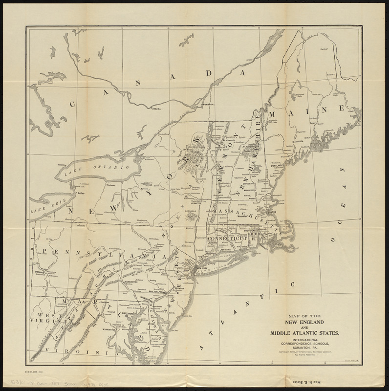
Map of the New England and Middle Atlantic States
Map of the New England and Middle Atlantic States
×
Item Information
Title:
Map of the New England and Middle Atlantic States
Title (alt.):
Map N.E. States
Cartographer:
International Correspondence Schools
Engraver:
Fisk, E. F.
Copyright holder:
International Textbook Company
Name on Item:
International Correspondence Schools ; E.F. Fisk, engraver
Date:
1906
Format:
Maps/Atlases
Location:
Boston Public Library
Norman B. Leventhal Map Center
Collection (local):
Norman B. Leventhal Map Center Collection
Subjects:
Middle Atlantic States--Maps
New England--Maps
Places:
Middle Atlantic
(area)
New England
(area)
Extent:
1 map ; 47 x 46 cm
Permalink:
https://ark.digitalcommonwealth.org/ark:/50959/0z7093323
Terms of Use:
No known copyright restrictions.
No known restrictions on use.
Publisher:
Scranton, Pennsylvania : International Correspondence Schools
Scale:
Scale approximately 1:2,400,000
Language:
English
Notes:
Relief shown by hachures.
Copyright assigned to the International Textbook Company.
"ICSRL 129B-3242."
Part of the I.C.S. reference library maps set.
Identifier:
06_01_014806
Call #:
G3701.P8 svar .I57
Barcode:
30000004748905
show more...
View MODS XML
More Like This
Kaart van Nieuw Nederland : behoorende tot de door het Provinciaal ...
Map of the Boston and Northwestern, Massachusetts Central, and ...
Map of the eastern and middle states
Map of the South Mountain and Boston Railroad & connections ...
Find More Like This >>
Tools
Share
Facebook
Pinterest
X
Reddit
Tumblr
Email
Copy link
Add to Folder
Questions/Comments
Cite This Item
IIIF Manifest
Downloads
Primary (full resolution, uncompressed)
(TIF, 62 MB)
Large (full resolution)
(JPEG, 5.21 MB)
Medium
(JPEG, 219 KB)