Skip to search
Skip to main content
Skip to first result
Digital Commonwealth
Folders
Sign Up / Log In
Search for
Search
Search
Search
Basic
Advanced
Explore
Map
Collections
Institutions
Formats
For Educators
Primary Source Sets
Lesson Plans
Using Primary Sources
Searching Digital Commonwealth
For Institutions
Join Digital Commonwealth
Conferences, Trainings, & Events
How to Contribute Collections
Digitization Services
Board & Committees
Frequently Asked Questions
About
About Digital Commonwealth
News & Announcements
Copyright & Terms of Use
Harmful Content Statement
Partners
API
Contact Us
Search
Search Constraints
Start Over
Save Search
Your search:
More Like
commonwealth:mg74t266h
✖
Remove constraint More Like: commonwealth:mg74t266h
« Prev.
|
51
-
100
of
67,239
|
Next »
Sort
by relevance
relevance
title
date (asc)
date (desc)
Number of results to display per page
50
per page
per page
10
per page
20
per page
50
per page
100
per page
View results as:
List
list view
Maps
map view
Gallery
grid view
Search Results
51.
Cooperative housing : Whitney Street
52.
East Boston urban renewal area r-44 : building conditions
53.
Fenway urban renewal area : building conditions
54.
Government Center project Mass. r-35 : parcel 7 & subway structure topographic map
55.
Government Center project no. Mass. r-35 : building deficiencies map
56.
Government Center project no. Mass. r-35 : disposition parcel map
57.
Government Center urban renewal area r-35 parcel-7 : site section 1
58.
Government Center urban renewal area r-35 parcel-7 : site section 2
59.
Illustrative site plan : Government Center
60.
Illustrative site plan : South End urban renewal area, Massachusetts r-56
61.
Jamaica Plain urban renewal area r-49 : building conditions
62.
Mattapan project : building deficiencies
63.
Park Plaza urban renewal area : environmental deficiencies and blighting influences map
64.
Park Plaza urban renewal area : 1973 survey building deficiencies map for Park Plaza stage I
65.
Park Plaza urban renewal area : building conditions map
66.
Parker Hill-Fenway urban renewal area r-48 : building conditions
67.
Parker Hill-Fenway urban renewal area r-48 : existing building coverage
68.
Roxbury-N. Dorchester G.N.R.P. r-50 : existing building conditions
69.
South Boston urban renewal area r-51 : building conditions
70.
South Boston urban renewal area r-51 : existing building condition
71.
South End project no. Mass. r-56 : building deficiencies
72.
Washington Park urban renewal area : building deficiencies
73.
Washington Park urban renewal area : building deficiencies
74.
Washington Park urban renewal area : building conditions
75.
Washington Park urban renewal area Massachusetts r-24 : property map acquisitions
76.
Washington Park urban renewal area Massachusetts r-24 : property map acquisitions
77.
Washington Park urban renewal area r-24 : buildings with deficiencies
78.
Washington Park urban renewal area r-24 : building condition
79.
Marketplace Center : topographical survey plan
80.
Parcel D-10
81.
Charlestown urban renewal project Boston (Suffolk County) Massachusetts Mass. R-55 : topographic map
82.
Columbia Point development study
83.
Columbia Point updated base maps
84.
Landscaping plan of City Hall Plaza, Boston
85.
View of the South End
86.
Downtown waterfront-Faneuil Hall project urban renewal area Massachusetts R-77 : illustrative site plan
87.
Downtown waterfront-Faneuil Hall project urban renewal area Massachusetts R-77 : illustrative site plan
88.
Park Plaza urban renewal area : environmental deficiencies and blighting influences map
89.
1975 general land use plan
90.
Campus High School urban renewal area Mass. r- : locality map blighted areas
91.
Campus High School urban renewal area Mass. r- : locality map important features
92.
Charlestown renewal area : location map
93.
Charlestown renewal area : blighted areas
94.
Conceptual plan
95.
Conceptual plan
96.
Downtown and neighborhood cultural facilities
97.
Downtown Waterfront Faneuil Hall renewal area : locality map 1
98.
Downtown Waterfront-Faneuil Hall renewal area : locality map 2
99.
Illustrative re-use site plan for the regional core
100.
Index to planning districts
« Previous
Next »
1
2
3
4
5
6
…
1,344
1,345
Limit your search
Subject
Boston (Mass.)--Maps
2,181
Real property--Massachusetts--Boston--Maps
1,553
Landowners--Massachusetts--Boston--Maps
1,436
City planning--Massachusetts--Boston--Maps
417
Roxbury (Boston, Mass.)--Maps
254
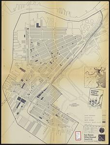
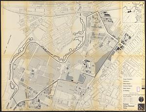
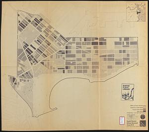
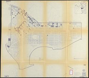
Urban renewal--Massachusetts--Boston--Maps
253
Charlestown (Boston, Mass.)--Maps
145
Buildings--Massachusetts--Boston--Maps
122
more
Subject
»
Place
North and Central America
65,759
United States
65,750
Massachusetts
64,626
Suffolk (county)
47,549
Boston
47,548
Worcester (county)
12,915
Worcester
12,827
Dorchester
6,578
more
Place
»
Format
Newspapers
64,463
Maps/Atlases
2,561
Books
111
Objects/Artifacts
86
Paintings
17
Manuscripts
9
Drawings/Illustrations
3
Prints
1
Available to use
No known restrictions
67,093
Creative Commons license
32
Date
View distribution
Current results range from
1757
to
2023
Date range begin
Date range end
View larger »
Unknown
12
Collection
Newspapers from the Boston Public Library
64,463
Boston Evening Transcript
12,959
Worcester Daily Spy
7,740
Daily Evening Transcript
7,037
Springfield Weekly Republican
4,712
Roxbury Gazette and South End Advertiser
3,447
South Boston Gazette
2,944
The Dorchester Beacon
2,865
more
Collection
»
Institution
Boston Public Library
67,109
State Library of Massachusetts
51
Salem State University Archives and Special Collections
49
Private Collection
20
American Antiquarian Society
9
Boston Athenaeum
1