Skip to search
Skip to main content
Skip to first result
Digital Commonwealth
Folders
Sign Up / Log In
Search for
Search
Search
Search
Basic
Advanced
Explore
Map
Collections
Institutions
Formats
For Educators
Primary Source Sets
Lesson Plans
Using Primary Sources
Searching Digital Commonwealth
For Institutions
Join Digital Commonwealth
Conferences, Trainings, & Events
How to Contribute Collections
Digitization Services
Board & Committees
Frequently Asked Questions
About
About Digital Commonwealth
News & Announcements
Copyright & Terms of Use
Harmful Content Statement
Partners
API
Contact Us
Search
« Prev.
|
1,224,001
-
1,224,100
of
1,236,676
|
Next »
Sort
by relevance
relevance
title
date (asc)
date (desc)
Number of results to display per page
100
per page
per page
10
per page
20
per page
50
per page
100
per page
View results as:
List
list view
Maps
map view
Gallery
grid view
Search Results
1224001.
Gorham, N.H : : 1888
1224002.
Hinsdale, N.H
1224003.
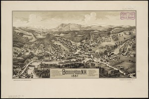
Bennington, N.H : 1887
1224004.
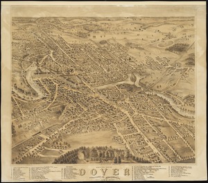
Bird's eye view of Dover, Strafford Co., New Hampshire : 1877, looking southwest
1224005.
Birds eye view of Syracuse, New York : 1874
1224006.
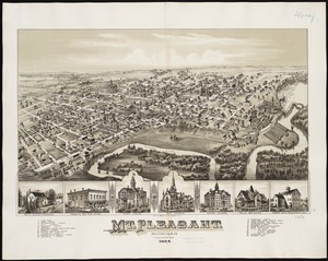
Mt. Pleasant, Michigan : 1884
1224007.
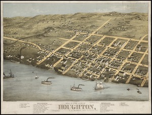
Bird's eye view of Houghton, L.S., Michigan, 1872 : looking south east
1224008.
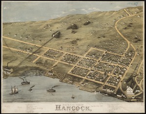
Bird's eye view of Hancock, L.S. Mich, 1873 : looking north west
1224009.
Cities of East Saginaw and Saginaw, Michigan, 1885
1224010.
Alma, Michigan : 1885
1224011.
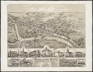
Midland City, Michigan : 1884
1224012.
Clare, Mich : 1884
1224013.
Coleman, Michigan : 1884
1224014.
Great Barrington, Mass
1224015.
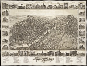
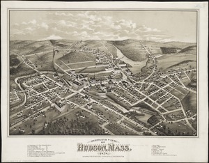
Bird's eye view of Hudson, Mass : 1878
1224016.
Town of Hingham, Plymouth County, Mass : 1885
1224017.
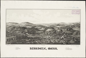
Hinsdale, Mass
1224018.
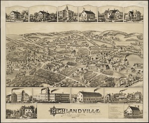
Highlandville, Massachusetts : 1887
1224019.
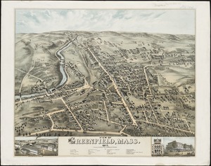
View of Greenfield, Mass
1224020.
First Corps Cadets, Massachusetts Volunteer Militia : encampment at Hingham, July 13 to 18, 1885
1224021.
Groton, Mass : 1886
1224022.
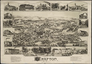
View of Grafton, Massachusetts : 1887
1224023.
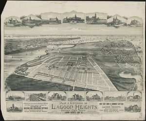
Plat & environs of Lagoon Heights : showing property owned by the Lagoon Heights Land Co
1224024.
Spencer, Mass : 1877
1224025.
Plan of Boston comprising a part of Charlestown and Cambridge
1224026.
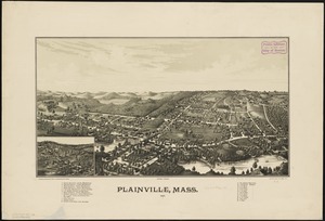
Plainville, Mass : 1887
1224027.
View of Randolph, Mass : 1882
1224028.
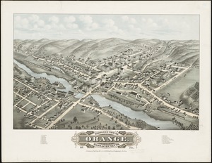
Bird's eye view of Orange, Massachusetts : 1878
1224029.
Becket, Mass
1224030.
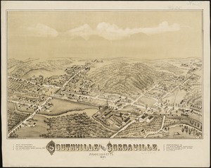
Southville and Cordaville, Massachusetts, 1887
1224031.
Lands End, Rockport, Mass
1224032.
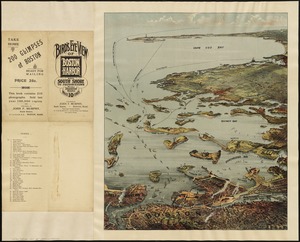
Bird's eye view of Boston Harbor and south shore to Provincetown showing steamboat routes
1224033.
Bristol, Conn : looking north-east
1224034.
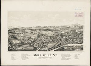
Morrisville, Vt : looking southwest
1224035.
Danbury, Conn
1224036.
Birmingham, Conn : 1876
1224037.
Bird's eye view of Waukesha, Waukesha County, Wisconsin 1874 : looking south west
1224038.
View of Ansonia, Conn : 1875
1224039.
View of Bristol, Conn
1224040.
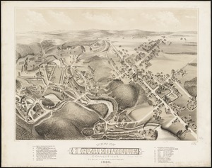
View of Hazardville, Connecticut
1224041.
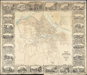
Plan of the city of Lowell, Massachusetts
1224042.
A plan of the property of the Hampton Normal and Agricultural Institute at Hampton Virginia
1224043.
Plan of lands in West-Roxbury, belonging to the estate of Chas. M. Taft : to be sold by public auction in Wednesday June 9th at...
1224044.
Preliminary plan for the extension of Commonwealth Avenue along Beacon Street Brookline : showing connection with Chestnut Hill...
1224045.
Winter sports map of the Berkshire Hills
1224046.
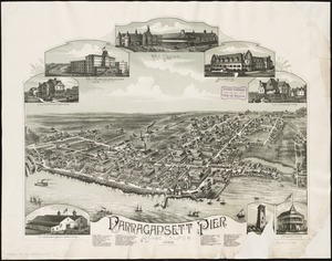
Narragansett Pier, Rhode Island : 1888
1224047.
View showing the works of D.S. Morgan & Co., Brockport, N.Y
1224048.
Albany, New York : 1879
1224049.
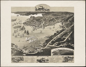
Boothbay Harbor, Lincoln County, Maine : 1885
1224050.
Map of Boston
1224051.
A new map of the United States including part of Louisiana : from the best authorities
1224052.
Birds-eye view from summit of Mt. Washington; White Mountains, New Hampshire
1224053.
Pascaerte van Terra Nova Nova Francia Nievw Engeland En de Groote Revier van Canada
1224054.
Birds eye view of the White Mountains
1224055.
Map of the New York Central & Hudson River and Boston & Albany Railroads : sea shore and summer resorts of New York and New...
1224056.
Map of the city of Chelsea from actual surveys : 1884
1224057.
Plan of Rowe's Wharf
1224058.
Buzzards Bay, Mass
1224059.
The state of New York
1224060.
An accurate map of the United States of America, with part of the surrounding provinces agreeable to the Treaty of Peace of 1783
1224061.
A plan of Port Royal in South Carolina
1224062.
Nov[us] orbis sive America septentrionalis, divisa per sua regna provinc. et insul : cura et opera
1224063.
Carte générale du Canada, de la Louisiane, de la Floride, de la Caroline, de la Virginie, de la Nouvelle Angleterre etc
1224064.
Americae sive Indiae Occidentalis : tabula generalis
1224065.
Winchester, Middlesex County, Mass : 1886
1224066.
Recens edita totius Novi Belgii, in America Septentrionali siti
1224067.
Insulae Americanae in Oceano Septentrionali, cum terris adiacentibus
1224068.
Railway and highway map of the famous Berkshire Hills region, showing also villages and points of interest : from official...
1224069.
Map of the county of Berkshire, Massachusetts : based upon the trigonometrical survey of the state
1224070.
Survey of a valley and ponds auxiliary to a contemplated canal between Buzzard's & Barnstable Bays, state of Massachusetts and...
1224071.
Survey across the isthmus of Cape Cod, state of Massachusetts and town of Sandwich of a proposed canal between Buzzard's and...
1224072.
Map of the county of Bristol, Massachusetts : based upon the trigonometrical survey of the state
1224073.
Two miles around the pendulum station on Hoosac Mountain near central shaft of tunnel, Massachusetts, 1874
1224074.
[Map of Berkshire County]
1224075.
Map of the Berkshire Hills Massachusetts
1224076.
A map of Berkshire County Mass
1224077.
Map of the roads of Wellesley and vicinity
1224078.
Map of the eastern junc. Broad Sound Pier, & Pt. Shirley railroad : steamboat lines and connections : established for the...
1224079.
Chart of Boston Harbor and Massachusetts Bay : with map of the adjacent country
1224080.
Map showing drives from the Walker-Gordon Laboratory, 203 Claredon St., Boston, to the Laboratory Farm in Wellesley
1224081.
Balloon view Provincetown to Boston
1224082.
The North Shore and part of Middlesex County, Mass
1224083.
[Map of Boston and vicinity]
1224084.
The South Shore and Norfolk County, Mass
1224085.
Map of Boston and the country adjacent, from actual surveys
1224086.
Hazleton : Pennsylvania
1224087.
Bird's-eye view of the Conemaugh Valley, from Nineveh to the Lake : Johnstown, Pa., from personal sketches and surveys of the...
1224088.
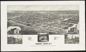
Bird's eye view of Asbury Park, N.J
1224089.
Blairstown, New Jersey
1224090.
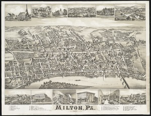
Milton, Pa
1224091.
Flemington : New Jersey
1224092.
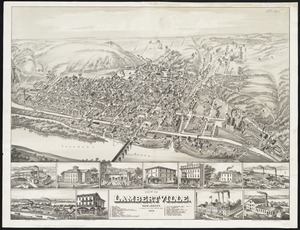
View of Lambertville, New Jersey
1224093.
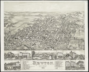
Newton : New Jersey
1224094.
East Stroudsburg : Pennsylvania
1224095.
Geological map of Essex County, Massachusetts
1224096.
A new and accurate map of the province of New York and part of the Jerseys, New England and Canada, shewing the scenes of our...
1224097.
Map of the county of Hampshire, Massachusetts : based upon the trigonometrical survey of the state
1224098.
Plan showing proposed method of introducing the water of Mystic Pond into Charlestown
1224099.
Views of London in 1616 and 1890
1224100.
Middlesex Fells Reservation
« Previous
Next »
1
2
…
12,237
12,238
12,239
12,240
12,241
12,242
12,243
12,244
12,245
…
12,366
12,367
Limit your search
Subject
Houses
26,811
waterworks
19,972
Buildings
18,149
Students
15,739
Antislavery movements--United States
13,111
News
12,448
Antislavery movements--United States--History--19th century
11,293
reservoirs (water distribution structures)
11,160
more
Subject
»
Place
North and Central America
625,163
United States
620,836
Massachusetts
526,801
Suffolk (county)
215,872
Boston
210,755
Essex (county)
64,578
Middlesex (county)
54,679
Worcester (county)
51,776
more
Place
»
Format
Photographs
506,287
Manuscripts
228,395
Letters/Correspondence
185,353
Newspapers
110,157
Documents
101,449
Postcards/Cards
62,347
Film/Video
57,967
Prints
50,698
more
Format
»
Available to use
No known restrictions
266,985
Creative Commons license
161,978
Date
View distribution
Current results range from
-8000
to
2873
Date range begin
Date range end
View larger »
Unknown
79,439
Collection
W. E. B. Du Bois Papers, 1803-1999 (bulk 1877-1963)
99,739
American Archive of Public Broadcasting Collection
85,165
Newspapers from the Boston Public Library
67,875
Mark H. McCormack Papers, ca. 1920-2008 (bulk: 1957-2003)
48,824
Digitized Museum Collections
45,842
Tewksbury Almshouse Intake Records [1854-1884]
41,668
Leslie Jones Collection
37,421
Tichnor Brothers Postcard Collection
28,068
more
Collection
»
Institution
Boston Public Library
320,681
Special Collections and University Archives, University of Massachusetts Amherst Libraries
239,006
Historic New England
105,261
Northeastern University Library
68,545
Public Health Museum in Massachusetts
41,668
Massachusetts Archives
27,189
Springfield College Archives and Special Collections
22,438
Newburyport Public Library
18,961
more
Institution
»


![Nov[us] orbis sive America septentrionalis, divisa per sua regna provinc. et insul](https://bpldcassets.blob.core.windows.net/derivatives/images/commonwealth:wd376505f/image_thumbnail_300.jpg)


![[Map of Berkshire County]](https://bpldcassets.blob.core.windows.net/derivatives/images/commonwealth:wd376641h/image_thumbnail_300.jpg)


![[Map of Boston and vicinity]](https://bpldcassets.blob.core.windows.net/derivatives/images/commonwealth:wd376691q/image_thumbnail_300.jpg)