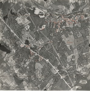
2001. William P. MacConnell Aerial Photograph Collection, ca. 1950-2000
In the 1950s, William P. MacConnell (Class of 1943), and his photogrammetry students in the Dept. of Forestry began using aerial photography to map forests, agricultural fields, wetlands, and other land cover in Massachusetts. Their work was eventually expanded to include the mapping of all land... more