University of Massachusetts Amherst Libraries Special Collections and University Archives
William P. MacConnell Aerial Photograph Collection, ca. 1950-2000
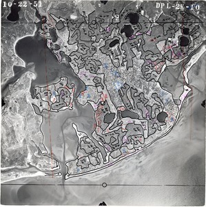
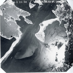
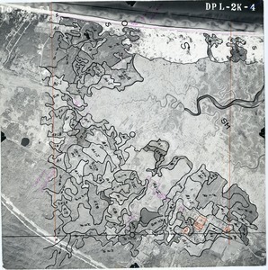
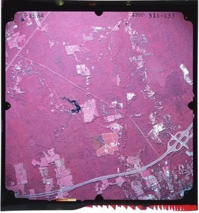
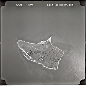
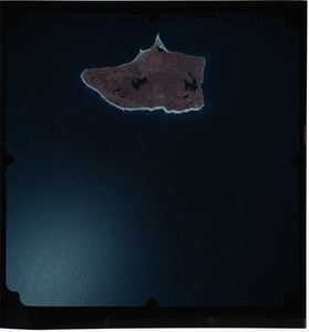
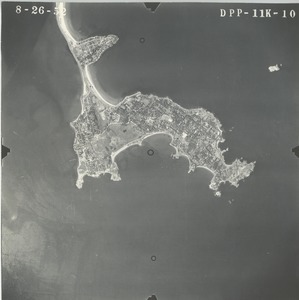
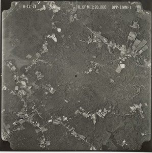
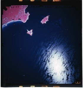
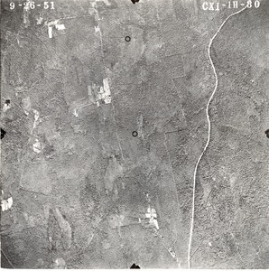
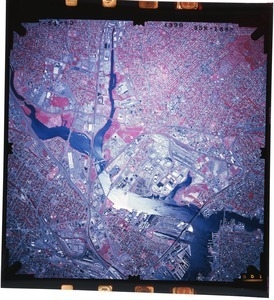
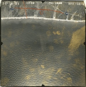
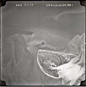
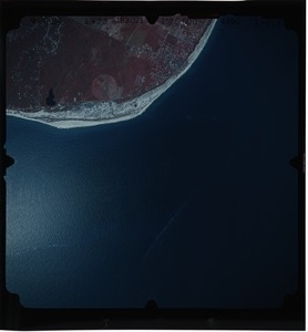
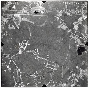
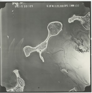
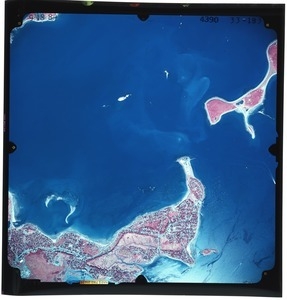
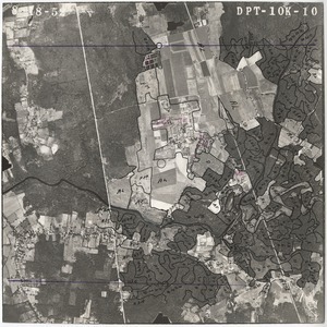
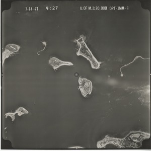
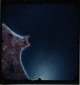
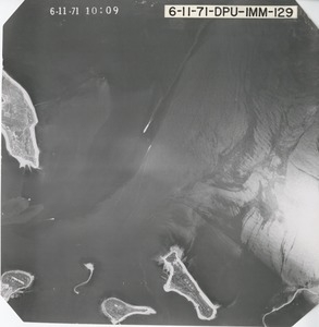
In the 1950s, William P. MacConnell (Class of 1943), and his photogrammetry students in the Dept. of Forestry began using aerial photography to map forests, agricultural fields, wetlands, and other land cover in Massachusetts. Their work was eventually expanded to include the mapping of all land use for Massachusetts, making this state the first in the nation to be completely mapped in this fashion, and laying the foundation for the U.S. Fish and Wildlife Service’s National Wetlands Inventory.