Search Constraints
Your search: map Remove constraint map Date Unknown Remove constraint Date: UnknownSearch Results
2.
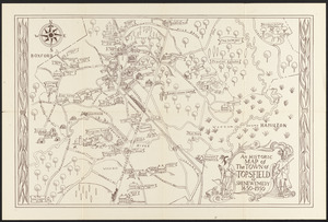
Topsfield Maps
This is a collection of historic maps drawn or printed in the past that fosters study and comprehension of the geography or geographical ideas of the time and place in which it was produced. There are also historical maps that are modern maps made to illustrate some past geographical situation... more
3.
Salem Maps
This collection consists of items from the Salem Maps collection hosted by Salem Public Library. Information about the items has been provided by the holding institution so that they may be included in Digital Commonwealth.
4.
Historic Maps
This collection consists of items from the Historic Maps collection hosted by Salem State University Archives and Special Collections. Information about the items has been provided by the holding institution so that they may be included in Digital Commonwealth.
5.
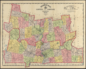
Map Collections
This collection consists of items from the Map Collections collection hosted by University of Massachusetts Amherst Libraries Special Collections and University Archives. Information about the items has been provided by the holding institution so that they may be included in Digital Commonwealth.
6.
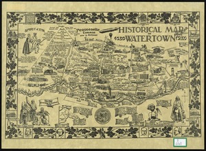
Watertown Maps
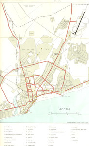
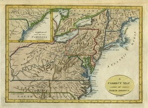
7. Africa, maps

8.
Mapping Boston Collection
The Mapping Boston Foundation is devoted to the permanent stewardship of the personal map collection of the Boston developer and philanthropist Norman B. Leventhal. Based on his interest in maps and the stories they tell, he founded the Leventhal Map & Education Center at the Boston Public... more
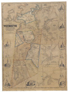
9.
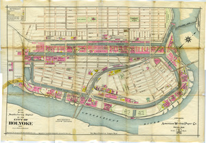
Weymouth Map Collection
The Weymouth Map Collection consists of maps of Weymouth, Massachusetts. The maps include information about local industry and the locations of homes. For more information, please visit the Weymouth Public Libraries online at www.weymouth.ma.us/weymouth-public-libraries.
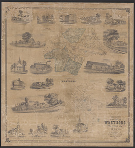
10.
Westborough Map Collection
The collection contains maps and atlases with a focus on Westborough and its surrounding areas.
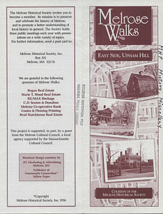
11.
Melrose Walks Maps
This collection consists of items from the Melrose Walks Maps collection hosted by Melrose Public Library. Information about the items has been provided by the holding institution so that they may be included in Digital Commonwealth.

12.
Gloucester Map Collection
This collection consists of items from the Gloucester Map collection hosted by Gloucester Lyceum & Sawyer Free Library. Information about the items has been provided by the holding institution so that they may be included in Digital Commonwealth.
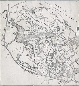
13. Lynn Woods, Map
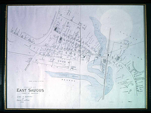
14. Map, East Saugus
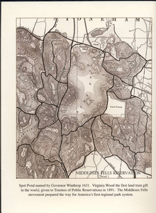
15. Spot Pond map
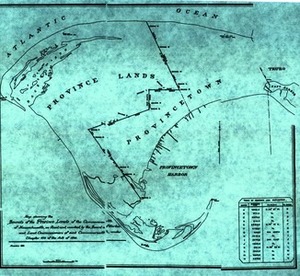
16. Provincetown Map Showing Railroad
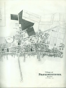
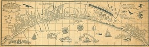
17. Map of Provincetown 1893
18.
Wilbraham Library Maps Collection
The Wilbraham Public Library has a collection of maps of Wilbraham and some of Hampden County. These maps range in date from 1894 to 2005 and include street and zoning maps over the years. Represented here is the majority of our collection.
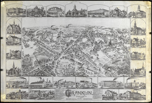
19.
Maps of Franklin, Massachusetts
Various maps, original or reproduced, of Franklin, Massachusetts.