Skip to search
Skip to main content
Skip to first result
Digital Commonwealth
Folders
Sign Up / Log In
Search for
Search
Search
Search
Basic
Advanced
Explore
Map
Collections
Institutions
Formats
For Educators
Primary Source Sets
Lesson Plans
Using Primary Sources
Searching Digital Commonwealth
For Institutions
Join Digital Commonwealth
Conferences, Trainings, & Events
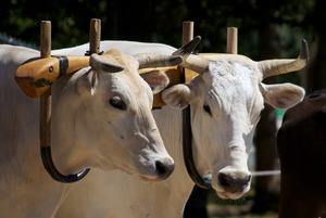
How to Contribute Collections
Digitization Services
Board & Committees
Frequently Asked Questions
About
About Digital Commonwealth
News & Announcements
Copyright & Terms of Use
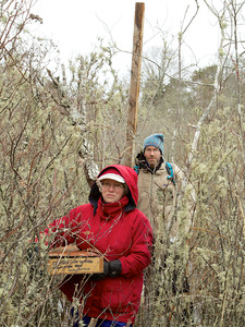
Harmful Content Statement
Partners
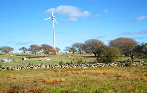
API
Contact Us
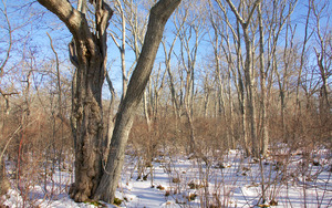
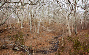
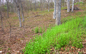
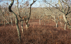
Search
Search Constraints
Start Over
Save Search
Your search:
More Like
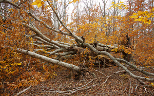
commonwealth:vh53xt23r
✖
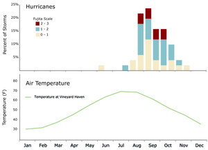
Remove constraint More Like: commonwealth:vh53xt23r
« Prev. |
1
-
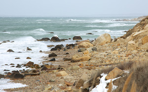
100
of
817
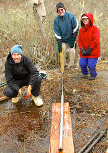
|
Next »
Sort
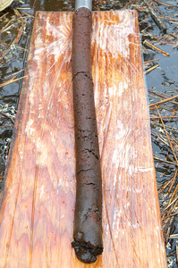
by relevance
relevance
title
date (asc)
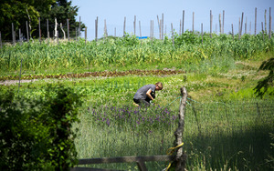
date (desc)
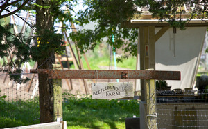
Number of results to display per page
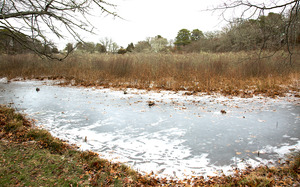
100
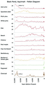
per page
per page
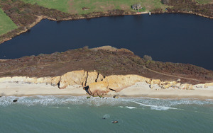
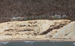
10
per page
20
per page
50
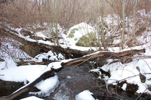
per page
100
per page
View results as:
List
list view
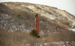
Maps
map view
Gallery
grid view
Search Results
1.
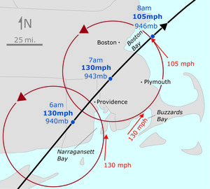
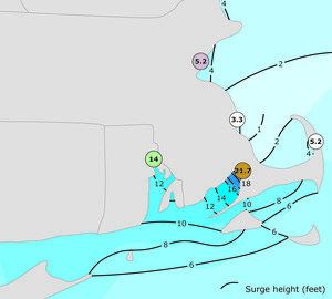
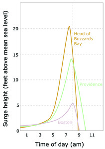
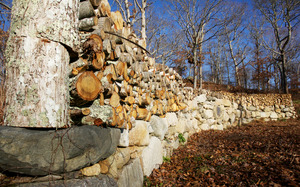
1635 Great Colonial Hurricane
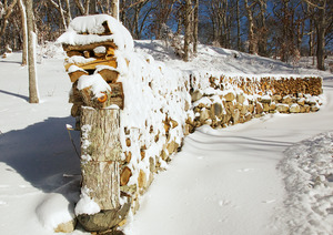
2.
1635 Great Colonial Hurricane
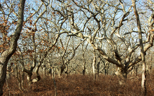
3.
1635 Great Colonial Hurricane
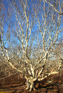
4.
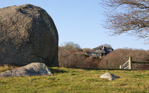
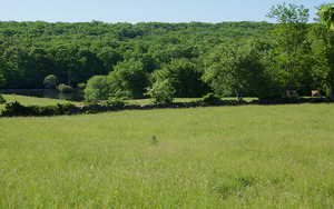
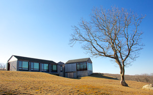
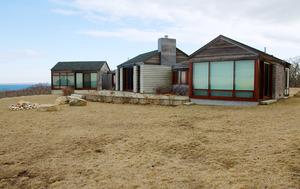
1850 Landscape
5.
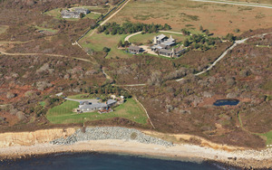
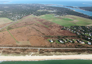
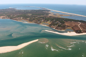
Aerial - A - Squibnocket - Armored Shoreline
6.
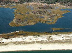
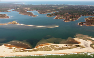
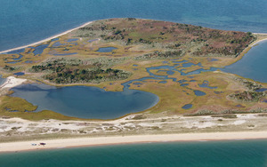
Aerial - Cape Poge and Shear Pen Pond
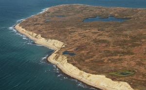
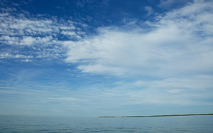
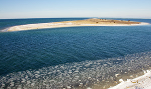
7.
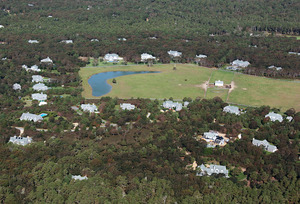
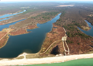
Aerial - Deep Bottom Pond Development
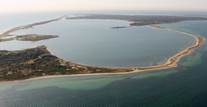
8.
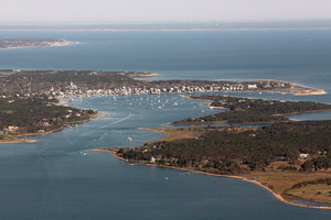
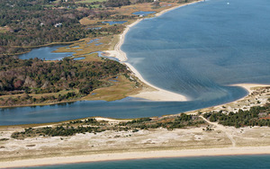
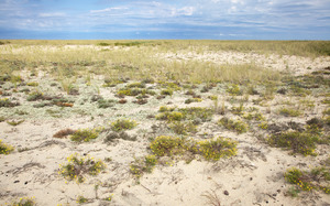
Aerial - Edgartown Harbor
9.
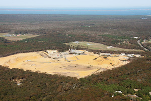
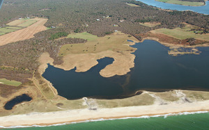
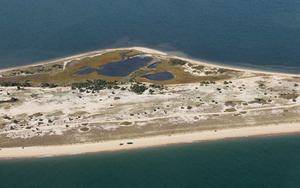
Aerial - Goodale's Pit
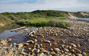
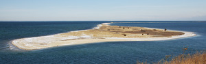
10.
Aerial - Katama Air field and Farm
11.
Aerial - Lucy Vincent Beach
12.
Aerial - Lucy Vincent Beach - West
13.
Aerial - Noman's land
14.
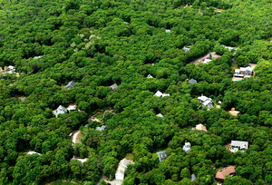
Aerial - Oak Bluffs - Development to South
15.
Aerial - Pimpneymouse Farm - Oak Islands
16.
Aerial - Sengecontacket - Barrier Beach - Armament
17.
Aerial - Woods Reserve looking to Seven Gates
18.
Aerial Cape Poge - Toms Neck
19.
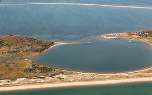
Aerial Edgartown Great Pond
20.
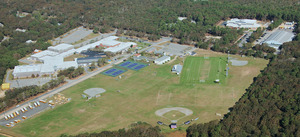
Aerial Oak Bluffs High school
21.
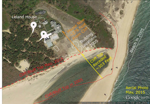
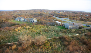
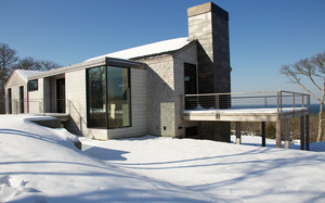
Aerial Photo of House on Bluff
22.
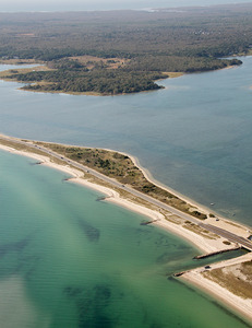
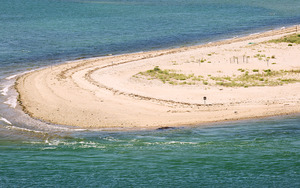
Aerial Wasque - Breach to Cape Poge
23.
Aerial West Tisbury Coastline
24.
Agricultural Fair
25.
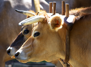
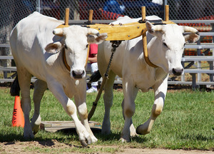
Agricultural Fair - Oxen
26.
Agricultural Fair - Oxen
27.
Agricultural Fair - Oxen
28.
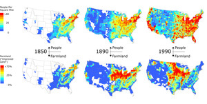
Agriculture in United States Mid-nineteenth Century
29.
Airport Bog - Red Maple
30.
Allen Farm
31.
Allen Farm - Back
32.
Allen Farm - Back Pasture
33.
Allen Farm - Vineyard Conservation Society Group
34.
Allen Farm - Vineyard Conservation Society Winter Walk
35.
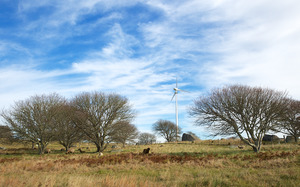
Allen Farm Turbine - From Eddy Farm
36.
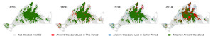
Ancient Woodlands Loss Through Time
37.
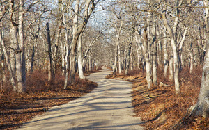
Ancient woodlands path
38.
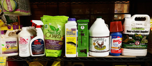
Animals - Repellent
39.
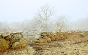
Aquinnah Headlands Preserve
40.
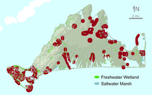
Archeological sites on Martha's Vineyard
41.
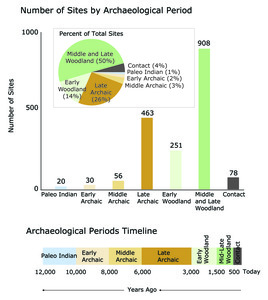
Archeology Graphs and Timeline
42.
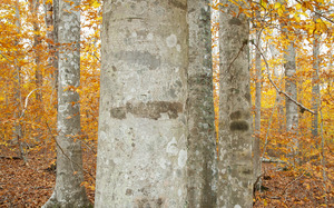
Arrowhead Farm - Beech trees
43.
Arrowhead Farm - Wind thrown Beech
44.
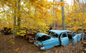
Arrowhead Farm Woods - Junk Cars
45.
Asynchrony of Hurricanes vs. Seasonal Temperature
46.
Athearn Bethaven Farm
47.
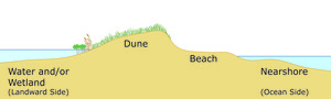
Barrier Beach Cross-section
48.
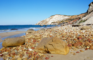
Beach and Gay Head Cliffs
49.
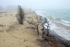
Beach Eroding
50.
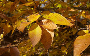
Beech leaves
51.
Beech Woods - Gay Head Moraine
52.
Ben Luce Pond - Coring
53.
Ben Luce Pond - Coring
54.
Ben Luce Pond - Coring Site
55.
Ben Luce Pond - Peaty Core
56.
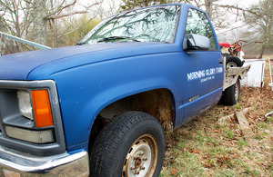
Bethaven Farm - Morning Glory Farm Truck
57.
Bettlebung Farm
58.
Bettlebung Farm
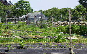
59.
Bettlebung Farm - Watering Plants
60.
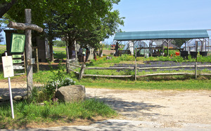
Bettlebung Farm Sign
61.
Black Pond - Quansoo
62.
Black Pond, Aquinnah. Vegetation History
63.
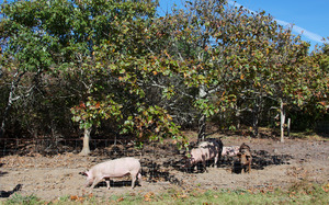
Black Pond Beach Association - Pig Sty
64.
Bluff Erosion
65.
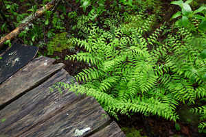
Boardwalk
66.
Boardwalk
67.
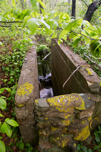
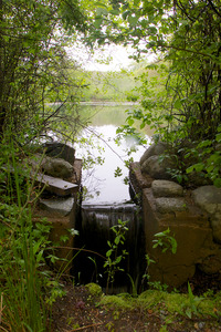
Bog House Road - Dam - Sluiceway
68.
Bog House Road - Pond - Dam
69.
Bog House Road - Royal Fern along trail
70.
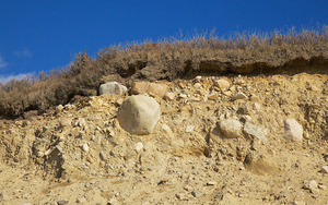
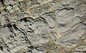
Brickworks - Clay in beach cliff
71.
Brickworks - Osprey Nest
72.
Brickworks - To Great Rock Bight
73.
Brickyard
74.
Brickyard - Roaring Brook
75.
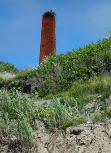
Brickyard chimney
76.
Brookside Farm
77.
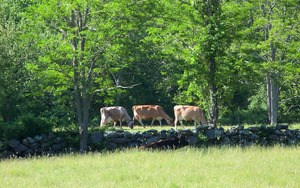
Brookside Farm cows grazing
78.
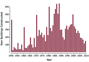
Building Construction on Martha's Vineyard
79.
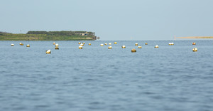
Buoys and the Wasque Breach
80.
Buttonwood - Garlic Mustard
81.
Buttonwood - Wood pile
82.
Buttonwood - Wood pile winter
83.
Buttonwood Farm Road Area - Land Bank trail - Wompesket
84.
Cape Higgon - Ancient Woods
85.
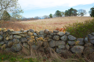
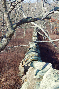
Cape Higgon - Ancient Woods and stone wall
86.
Cape Higgon - Beech tree
87.
Cape Higgon - House
88.
Cape Higgon - House
89.
Cape Higgon - House
90.
Cape Higgon - Stonewall and Ancient Woods
91.
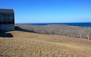
Cape Higgon - view of ocean
92.
Cape Poge
93.
Cape Poge
94.
Cape Poge - Barrier Island and Wetland
95.
Cape Poge - Grassland
96.
Cape Poge - Salt Marsh - Cedar Succession
97.
Cape Poge - Shear Pen Pond
98.
Cape Poge - The Gut
99.
Cape Poge - The Gut
100.
Cape Poge - The Gut
« Previous
Next »
1
2
3
4
5
…
8
9
Limit your search
Subject
Coastal
812
Regional Studies
738
Agriculture
71
Massachusetts
70
Hurricanes
27
Conservation and Management
23
Historic and Retrospective Studies
21
Birds
20
more
Subject
»
Place
North and Central America
807
United States
786
Dukes (county)
698
Martha's Vineyard
604
Massachusetts
547
Chilmark
161
West Tisbury
123
Chappaquiddick Island
90
more
Place
»
Format
Photographs
621
Maps/Atlases
139
Objects/Artifacts
121
Postcards/Cards
1
Drawings/Illustrations
1
Available to use
Creative Commons license
743
Date
View distribution
Current results range from
1764
to
2016
Date range begin
Date range end
View larger »
Unknown
1
Collection
Harvard Forest Martha's Vineyard Collection
744
Historic Maps
73
Institution
Harvard University
738
Salem State University Archives and Special Collections
73
Martha's Vineyard Museum
4
The Vineyard Gazette
2