Skip to search
Skip to main content
Skip to first result
Digital Commonwealth
Folders
Sign Up / Log In
Search for
Search
Search
Search
Basic
Advanced
Explore
Map
Collections
Institutions
Formats
For Educators
Primary Source Sets
Lesson Plans
Using Primary Sources
Searching Digital Commonwealth
For Institutions
Join Digital Commonwealth
Conferences, Trainings, & Events
How to Contribute Collections
Digitization Services
Board & Committees
Frequently Asked Questions
About
About Digital Commonwealth
News & Announcements
Copyright & Terms of Use
Harmful Content Statement
Partners
API
Contact Us
Search
Search Constraints
Start Over
Save Search
Your search:
More Like
commonwealth:ht250326t
✖
Remove constraint More Like: commonwealth:ht250326t
« Prev.
|
10,301
-
10,400
of
11,010
|
Next »
Sort
by date (asc)
relevance
title
date (asc)
date (desc)
Number of results to display per page
100
per page
per page
10
per page
20
per page
50
per page
100
per page
View results as:
List
list view
Maps
map view
Gallery
grid view
Search Results
10301.
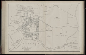
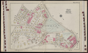
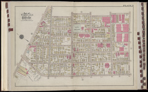
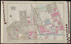
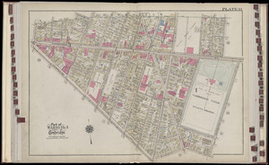
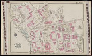
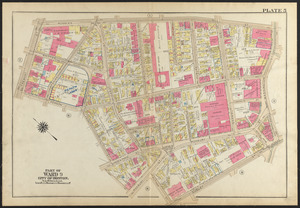
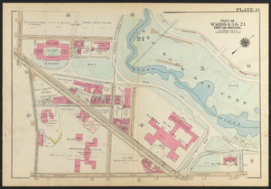
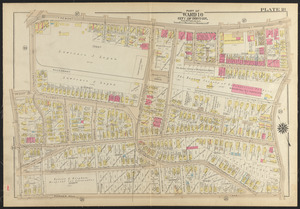
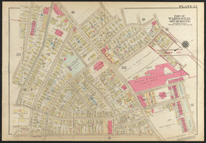
Atlas of the city of Newton, Massachusetts. plate 27
10302.
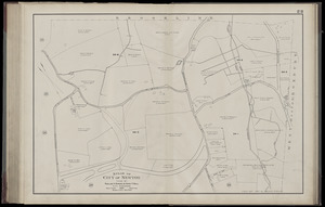
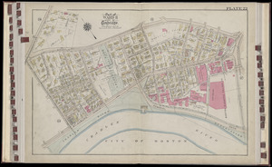
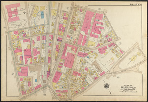
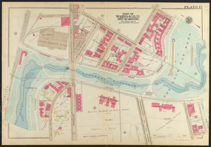
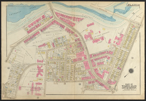
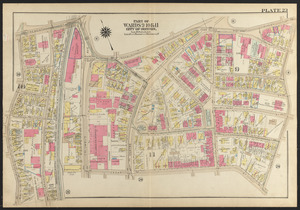
Atlas of the city of Newton, Massachusetts. plate 28
10303.
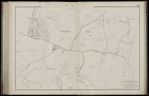
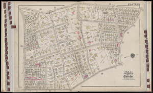
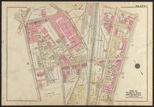
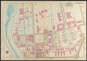
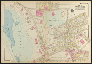
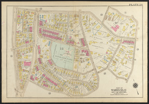
Atlas of the city of Newton, Massachusetts. plate 29
10304.
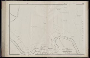
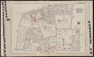
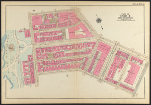
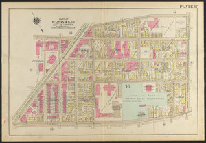
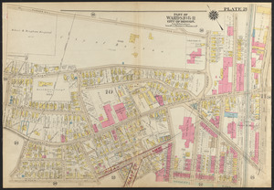
Atlas of the city of Newton, Massachusetts. plate 30
10305.
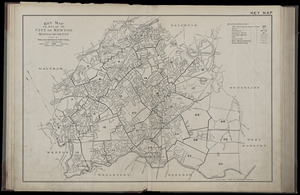
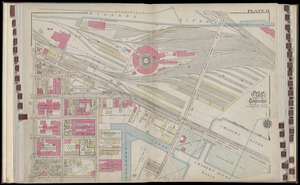
Atlas of the city of Newton, Massachusetts : index map
10306.
Atlas of the city of Newton, Massachusetts. plate 1
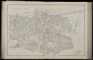
10307.
Atlas of the city of Newton, Massachusetts
10308.
Boston Elevated Railway system
10309.
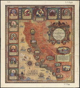
A general map of California during Spanish and Mexican occupation, 1542-1847
10310.
Geologic map of copper range from Gratiot to La Salle, Michigan
10311.
Geologic sections in T. 56 N., R. 33 W.
10312.
Geologic sections in T. 56 N., Rs. 32 and 33 W.
10313.
Illustrated map of the route of Transcontinental Air Transport, Inc.
10314.
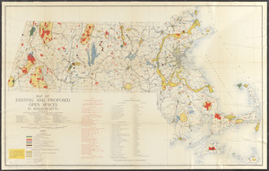
Map of existing and proposed open spaces in Massachusetts
10315.
A map of the Maine coast from York Harbor to Saco Bay : reminiscent & actual
10316.
Meiguo Sanfan Shi hua qiao qu : xiang xi tu = Map of San Francisco Chinatown
10317.
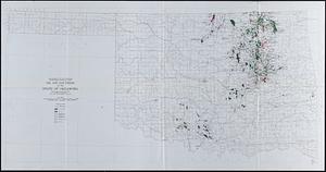
Oil and gas fields of the state of Oklahoma
10318.
The picture map of France
10319.
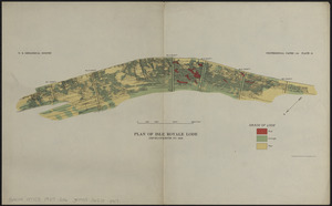
Plan of Isle Royale Lode : developments to 1925
10320.
Topographic map of the Island of Niihau, Kauai County, Hawaii
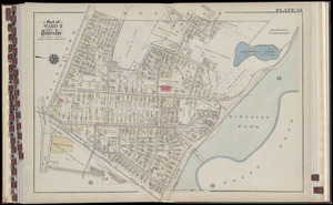
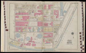
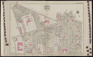
10321.
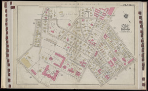
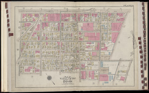
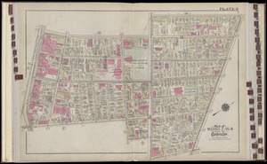
Atlas of the city of Cambridge, Massachusetts : from actual surveys and official plans. plate 19
10322.
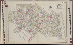
Atlas of the city of Cambridge, Massachusetts : from actual surveys and official plans. plate 20
10323.
Atlas of the city of Cambridge, Massachusetts : from actual surveys and official plans. plate 21
10324.
Atlas of the city of Cambridge, Massachusetts : from actual surveys and official plans. plate 22
10325.
Atlas of the city of Cambridge, Massachusetts : from actual surveys and official plans. plate 23
10326.
Atlas of the city of Cambridge, Massachusetts : from actual surveys and official plans. plate 24
10327.
Atlas of the city of Cambridge, Massachusetts : from actual surveys and official plans. plate 25
10328.
Atlas of the city of Cambridge, Massachusetts : from actual surveys and official plans. plate 26
10329.
Atlas of the city of Cambridge, Massachusetts : from actual surveys and official plans. plate 27
10330.
Atlas of the city of Cambridge, Massachusetts : from actual surveys and official plans. plate 28
10331.
Atlas of the city of Cambridge, Massachusetts : from actual surveys and official plans. plate 29
10332.
Atlas of the city of Cambridge, Massachusetts : from actual surveys and official plans. plate 30
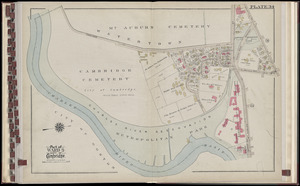
10333.
Atlas of the city of Cambridge, Massachusetts : from actual surveys and official plans. plate 31
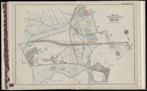
10334.
Atlas of the city of Cambridge, Massachusetts : from actual surveys and official plans. plate 32
10335.
Atlas of the city of Cambridge, Massachusetts : from actual surveys and official plans. plate 33
10336.
Atlas of the city of Cambridge, Massachusetts : from actual surveys and official plans. plate 34
10337.
Atlas of the city of Cambridge, Massachusetts : from actual surveys and official plans. plate 35
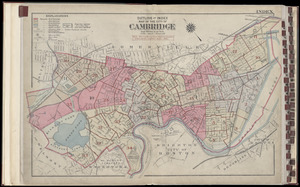
10338.
Atlas of the city of Cambridge, Massachusetts : from actual surveys and official plans : index map
10339.
Atlas of the city of Cambridge, Massachusetts : from actual surveys and official plans. plate 1
10340.
Atlas of the city of Cambridge, Massachusetts : from actual surveys and official plans. plate 2
10341.
Atlas of the city of Cambridge, Massachusetts : from actual surveys and official plans. plate 3
10342.
Atlas of the city of Cambridge, Massachusetts : from actual surveys and official plans. plate 4
10343.
Atlas of the city of Cambridge, Massachusetts : from actual surveys and official plans. plate 5
10344.
Atlas of the city of Cambridge, Massachusetts : from actual surveys and official plans. plate 6
10345.
Atlas of the city of Cambridge, Massachusetts : from actual surveys and official plans. plate 7
10346.
Atlas of the city of Cambridge, Massachusetts : from actual surveys and official plans. plate 8
10347.
Atlas of the city of Cambridge, Massachusetts : from actual surveys and official plans. plate 9
10348.
Atlas of the city of Cambridge, Massachusetts : from actual surveys and official plans. plate 10
10349.
Atlas of the city of Cambridge, Massachusetts : from actual surveys and official plans. plate 11
10350.
Atlas of the city of Cambridge, Massachusetts : from actual surveys and official plans. plate 12
10351.
Atlas of the city of Cambridge, Massachusetts : from actual surveys and official plans. plate 13
10352.
Atlas of the city of Cambridge, Massachusetts : from actual surveys and official plans. plate 14
10353.
Atlas of the city of Cambridge, Massachusetts : from actual surveys and official plans. plate 15
10354.
Atlas of the city of Cambridge, Massachusetts : from actual surveys and official plans. plate 16
10355.
Atlas of the city of Cambridge, Massachusetts : from actual surveys and official plans. plate 17
10356.
Atlas of the city of Cambridge, Massachusetts : from actual surveys and official plans. plate 18
10357.
Atlas of the city of Cambridge, Massachusetts : from actual surveys and official plans
10358.
Birdsboro, Pa. : settled 1740
10359.
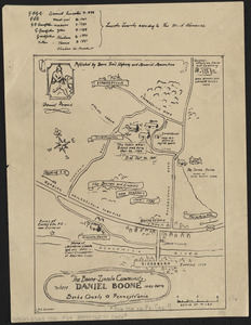
The Boone-Lincoln community where Daniel Boone was born, Berks County, Pennsylvania
10360.
The facts of prohibition in the United States
10361.
Historical map of the town of Scituate, Plymouth County, Massachusetts, incorporated 1636
10362.
Historical map of Watertown, 1630-1930
10363.
Map of Connecticut, circa 1625, Indian trails, villages, sachemdoms
10364.
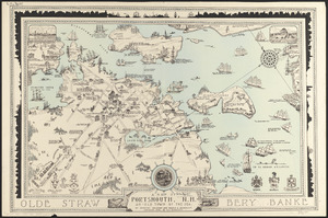
A map of Portsmouth, N.H. : an old town by the sea
10365.
A map of the Bermuda Islands : ya des demonios, isles of the devils
10366.
Motor routes that intersect the Bay Circuit
10367.
North America
10368.
Outline map of the various Boston metropolitan districts
10369.
Pictorial map of Kansas
10370.
The port of Salem, Massachusetts
10371.
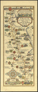
Pratts high test map of the Great North Road
10372.
Rose garden in Fens-Back Bay
10373.
Town of Brookline, Mass. assessors' plans 1930
10374.
Umatilla National Forest, Oregon and Washington
10375.
Winthrop - anciently Pullin Point : our peninsula in 1624
10376.
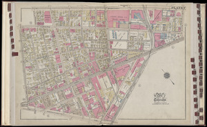
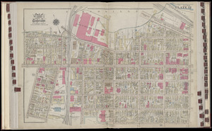
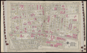
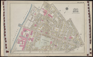
Atlas of the city of Boston : Roxbury : from actual surveys and official plans
10377.
Atlas of the city of Boston, Roxbury : plate 1
10378.
Atlas of the city of Boston, Roxbury : plate 2
10379.
Atlas of the city of Boston, Roxbury : plate 3
10380.
Atlas of the city of Boston, Roxbury : plate 4
10381.
Atlas of the city of Boston, Roxbury : plate 5
10382.
Atlas of the city of Boston, Roxbury : plate 6
10383.
Atlas of the city of Boston, Roxbury : plate 7
10384.
Atlas of the city of Boston, Roxbury : plate 8
10385.
Atlas of the city of Boston, Roxbury : plate 9
10386.
Atlas of the city of Boston, Roxbury : plate 10
10387.
Atlas of the city of Boston, Roxbury : plate 11
10388.
Atlas of the city of Boston, Roxbury : plate 12
10389.
Atlas of the city of Boston, Roxbury : plate 13
10390.
Atlas of the city of Boston, Roxbury : plate 14
10391.
Atlas of the city of Boston, Roxbury : plate 15
10392.
Atlas of the city of Boston, Roxbury : plate 16
10393.
Atlas of the city of Boston, Roxbury : plate 17
10394.
Atlas of the city of Boston, Roxbury : plate 18
10395.
Atlas of the city of Boston, Roxbury : plate 19
10396.
Atlas of the city of Boston, Roxbury : plate 20
10397.
Atlas of the city of Boston, Roxbury : plate 21
10398.
Atlas of the city of Boston, Roxbury : plate 22
10399.
Atlas of the city of Boston, Roxbury : plate 23
10400.
Atlas of the city of Boston, Roxbury : plate 24
« Previous
Next »
1
2
…
100
101
102
103
104
105
106
107
108
…
110
111
Limit your search
Subject
Real property--Massachusetts--Boston--Maps
2,278
Landowners--Massachusetts--Boston--Maps
2,117
Boston (Mass.)--Maps
1,967
Roxbury (Boston, Mass.)--Maps
351
Dorchester (Boston, Mass.)--Maps
317
Cambridge (Mass.)--Maps
266
Brookline (Mass.)--Maps
236
Real property--Massachusetts--Cambridge--Maps
216
more
Subject
»
Place
North and Central America
7,824
United States
6,440
Suffolk (county)
3,338
Boston
3,198
Massachusetts
3,174
Europe
963
Middlesex (county)
617
Canada
428
more
Place
»
Format
Maps/Atlases
10,951
Manuscripts
215
Prints
51
Books
35
Objects/Artifacts
10
Drawings/Illustrations
8
Posters
4
Available to use
No known restrictions
10,934
Creative Commons license
47
Date
View distribution
Current results range from
1482
to
2023
Date range begin
Date range end
View larger »
Collection
Norman B. Leventhal Map Center Collection
11,003
Boston and New England Maps (Collection of Distinction)
5,108
Urban Maps (Collection of Distinction)
4,846
Maritime Charts and Atlases (Collection of Distinction)
750
American Revolutionary War-Era Maps (Collection of Distinction)
617
Boston Redevelopment Authority Collection
86
David Judkins Weaver Papers
3
Historic Maps
3
more
Collection
»
Institution
Boston Public Library
11,002
Salem State University Archives and Special Collections
3
American Antiquarian Society
2
Phillips Academy
2
Private Collection
1