Skip to search
Skip to main content
Skip to first result
Digital Commonwealth
Folders
Sign Up / Log In
Search for
Search
Search
Search
Basic
Advanced
Explore
Map
Collections
Institutions
Formats
For Educators
Primary Source Sets
Lesson Plans
Using Primary Sources
Searching Digital Commonwealth
For Institutions
Join Digital Commonwealth
Conferences, Trainings, & Events
How to Contribute Collections
Digitization Services
Board & Committees
Frequently Asked Questions
About
About Digital Commonwealth
News & Announcements
Copyright & Terms of Use
Harmful Content Statement
Partners
API
Contact Us
Search
Search Constraints
Start Over
Save Search
Your search:
More Like
commonwealth:9s161f21f
✖
Remove constraint More Like: commonwealth:9s161f21f
« Prev. |
1
-
50
of
11,394
|
Next »
Sort
by relevance
relevance
title
date (asc)
date (desc)
Number of results to display per page
50
per page
per page
10
per page
20
per page
50
per page
100
per page
View results as:
List
list view
Maps
map view
Gallery
grid view
Search Results
1.
Boston
2.
Boston, its environs and harbour, with the rebel works raised against that town in 1775 : from the observations of Lieut. Page...
3.
Bowles's map of the seat of war in New England, comprehending the provinces of Massachusets Bay, and New Hampshire : with the...
4.
Carte de la ville, baye et environs de Baston
5.
Carte des environs de Boston, capitale de la Nlle. Angleterre en Amerique
6.
A chart of the coast of New England, from Beverly to Scituate harbour, including the ports of Boston and Salem
7.
A chart of the harbour of Boston
8.
A chart of the harbour of Boston
9.
A chart of the harbour of Boston
10.
A draught of Boston Harbor by Capt. Cyprian Southake
11.
Die gegend um Boston
12.
Grundriss von der stadt Boston und ihren gegenden
13.
A map of 100 miles round Boston
14.
A map of the most inhabited part of New England : containing the provinces of Massachusets Bay and New Hampshire, with the...
15.
A map of the most inhabited part of New England : containing the provinces of Massachusets Bay and New Hampshire, with the...
16.
A new and accurate plan of the town of Boston in New England : A new plan of Boston Harbor from an actual survey
17.
A new plan of ye great town of Boston in New England in America, with the many additionall buildings & new streets to the year...
18.
A new plan of ye great town of Boston in New England in America, with the many additionall [sic] buildings, & new streets, to...
19.
Particular draughts and plans of some of the principal towns and harbours belonging to the English, French, and Spaniards, in...
20.
Plan de Boston
21.
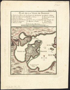
Plan de la ville de Boston
22.
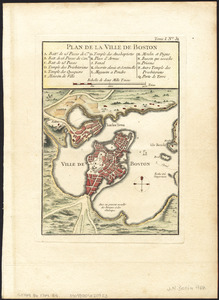
Plan de la ville de Boston
23.
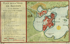
Plan de la ville de Boston et ses environs
24.
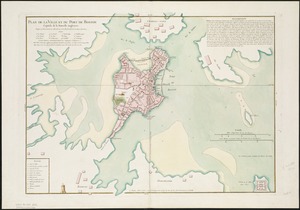
Plan de la ville et du port de Boston : capitale de la Nouvelle Angleterre
25.
A plan of Boston, from actual survey
26.
A plan of Boston, from actual survey
27.
The seat of war in New England, by an American volunteer : with the marches of the several corps sent by the Colonies towards...
28.
Thirty-miles round Boston
29.
The town of Boston in New England
30.
The town of Boston in New England
31.
Boston
32.
Hafen von Boston
33.
Map of the environs of Boston
34.
Plan de la ville de Boston
35.
Plan De La Ville De Boston et ses environs
36.
Plan de la ville et du port de Boston : capitale de la Nouvelle Angleterre : erigée prémierement en 1630, et en 1735 elle fut...
37.
Plan de la ville et du port de Boston : capitale de la Nouvelle Angleterre
38.
A plan of the town and chart of the harbour of Boston exhibiting a view of the islands, castle forts, and entrances into the...
39.
The 100th anniversary map of Abraham Lincoln's visit to Massachusetts, September 11-23, 1848
40.
1630 shoreline
41.
1879. Progress map of the U.S. Geographical Surveys west of the 100th Meridian : prepared under the direction of 1st Lieut....
42.
1903 Map of Salem and surrounding places
43.
19th annual convention of the National Association of Real Estate Boards : at Tulsa, June 7 to June 11 in 1926
44.
2005 significant U.S. hurricane strikes
45.
227 Harzgerode
46.
305 Glatz
47.
38,000,000 escaped -- 10,000,000 died
48.
4 Kinten
49.
660 Wakulah St., Roxbury
50.
[A chart of Boston Bay and vicinity]
« Previous
Next »
1
2
3
4
5
…
227
228
Limit your search
Subject
Real property--Massachusetts--Boston--Maps
2,278
Landowners--Massachusetts--Boston--Maps
2,117
Boston (Mass.)--Maps
1,969
Roxbury (Boston, Mass.)--Maps
351
Dorchester (Boston, Mass.)--Maps
317
Cambridge (Mass.)--Maps
266
Brookline (Mass.)--Maps
236
Real property--Massachusetts--Cambridge--Maps
216
more
Subject
»
Place
North and Central America
8,683
United States
7,607
Massachusetts
4,961
Suffolk (county)
3,352
Boston
3,212
Europe
1,359
Middlesex (county)
618
Canada
448
more
Place
»
Format
Maps/Atlases
11,335
Manuscripts
215
Prints
56
Books
35
Objects/Artifacts
10
Drawings/Illustrations
8
Posters
4
Available to use
No known restrictions
11,318
Creative Commons license
53
Date
View distribution
Current results range from
1482
to
2023
Date range begin
Date range end
View larger »
Collection
Norman B. Leventhal Map & Education Center Collection
11,393
Boston and New England Maps (Collection of Distinction)
5,131
Urban Maps (Collection of Distinction)
4,861
Maritime Charts and Atlases (Collection of Distinction)
1,081
American Revolutionary War-Era Maps (Collection of Distinction)
621
Boston Redevelopment Authority Collection
87
Mapping Boston Collection
7
Historic Maps
1
Institution
Boston Public Library
11,386
Private Collection
7
Salem State University Archives and Special Collections
1


![A new plan of ye great town of Boston in New England in America, with the many additionall [sic] buildings, & new streets, to the year, 1769](https://bpldcassets.blob.core.windows.net/derivatives/images/commonwealth:3f462v50z/image_thumbnail_300.jpg)


![[A chart of Boston Bay and vicinity]](https://bpldcassets.blob.core.windows.net/derivatives/images/commonwealth:cj82m2976/image_thumbnail_300.jpg)