A chart of the harbour of Boston
Item Information
- Title:
- A chart of the harbour of Boston
- Creator:
- Des Barres, Joseph F. W. (Joseph Frederick Wallet), 1722-1824
- Contributor:
- Callendar, George
- Date:
-
1775
- Format:
-
Maps/Atlases
- Location:
-
Boston Public Library
Norman B. Leventhal Map Center - Collection (local):
-
Norman B. Leventhal Map Center Collection
- Subjects:
-
Nautical charts--Massachusetts--Boston Harbor--Early works to 1800
Boston (Mass.)--Maps--Early works to 1800
Boston Harbor (Mass.)--Maps--Early works to 1800
- Places:
-
MassachusettsBoston Harbor
- Extent:
- 1 chart : col. ; 70 x 103 cm.
- Permalink:
- https://ark.digitalcommonwealth.org/ark:/50959/3f462w05b
- Terms of Use:
-
No known copyright restrictions.
No known restrictions on use.
- Publisher:
-
[London] :
J.F.W. Des Barres
- Edition:
-
3rd state.
- Notes:
-
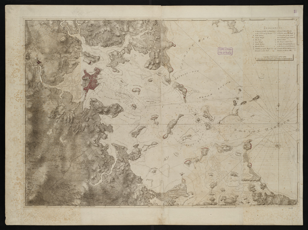
Title from published bibliography.
Relief shown by hachures and shading. Depths shown by soundings.
Table of references identifies major pre-Revolutionary fortification features of Boston.
Chart principally taken from surveys by George Callendar in 1769.
From the author's Atlantic Neptune.
Plat enumber "11" engraved in a small oval in the upper right corner of border.
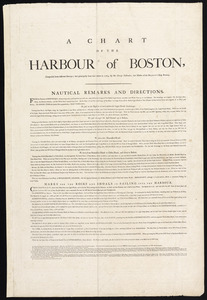
- Scale:
-
Scale [ca. 1:25,000]
- Language:
-
English
- Identifier:
-
06_01_004476
- Call #:
-
G1106.P5 D47 1781
- Barcode:
-
30000003813945