Skip to search
Skip to main content
Skip to first result
Digital Commonwealth
Folders
Sign Up / Log In
Search for
Search
Search
Search
Basic
Advanced
Explore
Map
Collections
Institutions
Formats
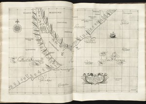
For Educators
Primary Source Sets
Lesson Plans
Using Primary Sources
Searching Digital Commonwealth
For Institutions
Join Digital Commonwealth
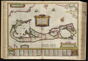
Conferences, Trainings, & Events
How to Contribute Collections
Digitization Services
Board & Committees
Frequently Asked Questions
About
About Digital Commonwealth
News & Announcements
Copyright & Terms of Use
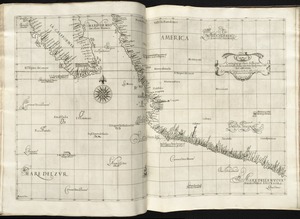
Harmful Content Statement
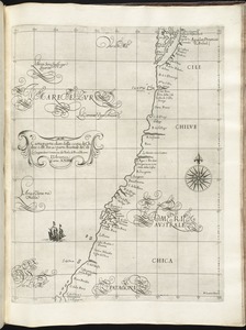
Partners
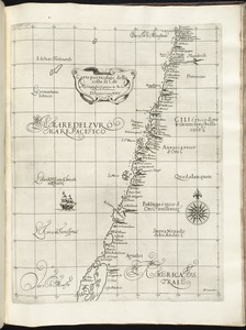
API
Contact Us
Search
Search Constraints
Start Over
Save Search
Your search:
boston harbor ships
✖
Remove constraint boston harbor ships
« Prev. |
1
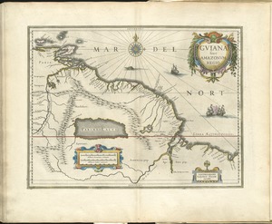
-
100
of
12,419
|
Next »
Sort
by date (asc)
relevance
title
date (asc)
date (desc)
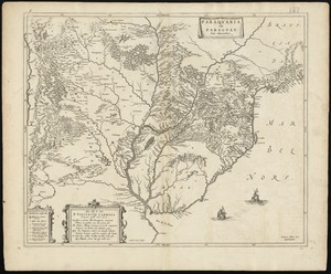
Number of results to display per page
100
per page
per page
10
per page
20
per page
50
per page
100
per page
View results as:
List
list view
Maps
map view
Gallery
grid view
Search Results
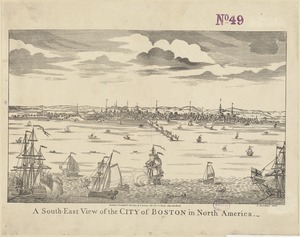
1.
Biblia pauperum
2.
European flint
3.
Tierra nueua
4.
Africae tabula nova
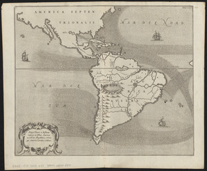
5.
Americae siue noui orbis, noua descriptio
6.
Americae siue noui orbis, noua descriptio
7.
America sive novvs orbis respectv Evropaeorvm inferior globi terrestris pars
8.
A leaf from a 17th-century account book, apparently used only as a wrapper
9.
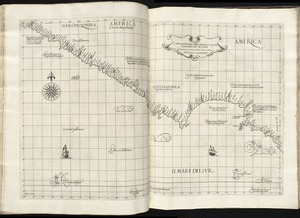
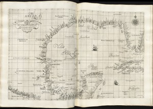
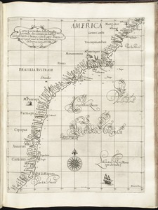
America
10.
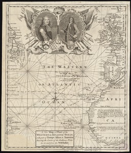
A new description of the shyres Lothian and Linlitquo
11.
Carte Geographique de la Nouvelle Franse
12.
Carte geographique de la Nouvelle Franse
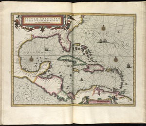
13.
Insulae Americanae in Oceano Septentrionali cum terris adiacentibus
14.
Noua totius terrarum orbis geographica ac hydrographica tabula
15.
Magni Mogolis Imperium
16.
Alla serma. sigra. principsa. d'Vrbino Grandvchessa di Toscana sva sigra. d: Roberto...
17.
Carta particolare che comincia con il capo S. Andrea è finiscie con il capo Matas...
18.
Carta particolare del' mare del' Zur che comincia con il' capo S. Francesco nel' Peru...
19.
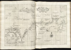
Carta particolare del' Peru che comincia con il capo di Guanapo è finisce con il' C....
20.
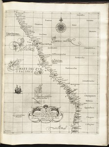
Carta particolare del' Peru che comincia con il rio Pigua è finisce con il capo di...
21.
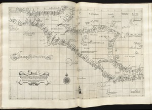
Carta particolare del'India Occidentale che comincia con il Capo S. Romano nel' mare...
22.
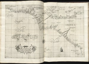
Carta particolare del'India Occidentale che contiene il Golfo de Veragua, la Baia di...
23.
Carta particolare del'Isola di Cuba è di Iamaica con il capo della Florida è l'Isola...
24.
Carta particolare dell' Isola di Bermuda sin all' India Occidentale et al' capo S....
25.
Carta particolare dell' mare del' Zur che comincia con il capo Lucar è finisce con...
26.
Carta particolare dell' Rio della Plata che comincia con la costa in gra di 31 di...
27.
Carta particolare della America è parte maestrale dal C. di Cedros
28.
Carta particolare della Baia di Messico con la costa
29.
Carta particolare della Brasilia australe che comincia dal' Poro. del' Spirto. Santo...
30.
Carta particolare della Brasilia, che comincia con il capo S. Antonio et finisce con...
31.
Carta particolare della Brasilia settentrionale
32.
Carta particolare della costa del' Peru parte australe con parte di Cili
33.
Carta particolare della costa di America Australe che comincia al C. di Matas sin al...
34.
Carta particolare della costa di Chilue è di Chica è parte australe di Cili
35.
Carta particolare della costa di Cili
36.
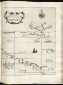
Carta particolare della Meta Incognita Australe con una parte della America...
37.
Carta particolare della nuoua Belgia è parte della nuoua Anglia
38.
Carta particolare della parte ocidentale della nuova Spagnia, è del la California
39.
Carta particolare della terra nuoua con la Gran Baia et il Fiume Grande della Canida
40.
Carta particolare dell'India Ocidentale, con la terra ferma dal' capo di Paria sin al'...
41.
Carta particolare dell'Isola Ispaniola è S. Gioni. nel'India ocidentle. con l'Isola...
42.
Carta particolare dello stretto di Iezo fra l'America è l'isola Iezo
43.
Carta particolare dello Stretto di Magellano è di Maire
44.
Al sermo. Ferdinando. II. Grandvca di Toscana svo signore Don Roberto Dudleo, Duca di...
45.
Brasilia
46.
The County of Kerry
47.
Guiana siue Amazonum regio
48.
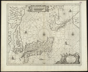
Nova et accvrata Iaponiae, terrae Esonis ac insularum adjacentium ex novissima...
49.
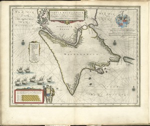
Tabula Magellanica, quâ Tierrae del Fuego, cum celeberrimis fretis a F. Magellano et...
50.
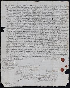
Deed conveying Noddle's Island in Boston Harbor from John and Margaret Burch, of...
51.
A plat of all the world : projected according to the truest rules being far more exact...
52.
Africæ, described, the manners of their habits and buildings, newly done into English
53.
America : with those known parts in that unknowne worlde both people and manner of...
54.
Europ, and the cheife cities contayned therin, described; with the habits of most...
55.
Mappa æstivarum insularum alias Bermudas dictarum, ad ostia Mexicani æstuary iacentium...
56.
Mappa fluxus et refluxus rationes in isthmo Americano, in Freto Magellanico,...
57.
Insulae Americanae in Oceano Septentrionali cum terris adiacentibus
58.
Systema ideale quo exprimitur, aquarum per canales hydragogos subterraneos ex mari et...
59.
Paraquaria vulgo Paraguay : cum adjacentibus
60.
Codman family papers
61.
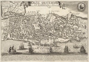
Nowel Amsterdam en Lamerique : 1672
62.
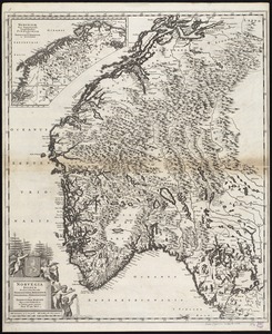
Norvegia regnum divisum in suos dioeceses Nidrosiensem, Bergensem, Opsloensem, et...
63.
Nova Persiae Armeniae Natoliae et Arabiae
64.
Pas-kaart vande zee kusten inde boght van Niew Engeland : tusschen de staaten Hoek en...
65.
North America divided into its III principall parts : 1st English part viz. English...
66.
A new map of New England, New York, New Iarsey, Pensilvania, Maryland and Virginia
67.
This harbour of Boston
68.
Boston Harbour in New England
69.
A new map of Scotland with the roads
70.
A new mapp of New England and Annapolis and the countrys adjacent
71.
A draught of Boston Harbor by Capt. Cyprian Southake
72.
Nouus planiglobii terrestris per utrumque polum conspectus
73.
A new survey of the harbour of Boston in New England : done by order of the principall...
74.
South America : corrected from the observation communicated to the Royal Societys of...
75.
Pas kaart van t eyland S. Iuan de Porto Rico, met d eylanden daar beoosten
76.
A chart of the sea coast of New Foundland, New Scotland, New England, New York, New...
77.
Carte du Mexique et de la Florida : des terres angloises et des Isles Antilles, du...
78.
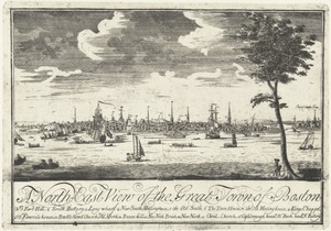
North east view of the great Town of Boston
79.
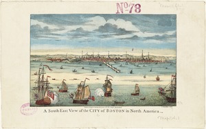
A south-east view of the City of Boston in North America
80.
The town of Boston in New England
81.
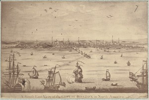
A south east view of the City of Boston in North America
82.
A view of the castle of Belem and the city of Lisbon as it appears from thence ; A map...
83.
Boston Harbour
84.
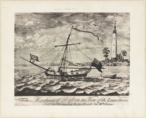
To the merchants of Boston this view of the light house is most humbly presented by...
85.
A south-east view of the City of Boston in North America
86.
To Her most Sacred Majesty Carolina Queen of Great Britain, France & Ireland, this map...
87.
St. Helena : this island belongs to ye English east India Company whose ships usually...
88.
A map of the British Empire in America with the French and Spanish settlements...
89.
An actual survey of the sea coast from New York to the I. Cape Brition : with tables...
90.
Cattalina Harbor
91.
A correct map of the coast of New England
92.
Harbor Grace
93.
The island of Jamaica
94.
Port Bonavista
95.
Coste occidentale d'Afrique, depuis le Détroit de Gibraltar jusqu' au XIe dégré de...
96.
A plan of the city and harbour of Havanna situated on the island of Cuba
97.
Chart of Milford Haven, Wales
98.
A new map or chart of the Western or Atlantic Ocean, with part of Europe Africa &...
99.
A plan of the city and harbour of the Havana situated on the island of Cuba
100.
Plans des isles, rades, et ports de plusieurs lieux de l'Amérique : tirés de la Carte...
« Previous
Next »
1
2
3
4
5
…
124
125
Limit your search
Subject
Ships
2,015
Harbors
1,661
Sailing ships
1,534
Boats
1,025
Piers & wharves
932
Naval yards & naval stations
853
Constitution (Frigate)
744
Boat & ship industry
488
more
Subject
»
Place
North and Central America
7,363
United States
7,010
Massachusetts
5,323
Suffolk (county)
2,917
Boston
2,637
Essex (county)
961
Boston Harbor
681
Newburyport
641
more
Place
»
Format
Photographs
8,390
Maps/Atlases
1,365
Postcards/Cards
982
Prints
798
Manuscripts
237
Letters/Correspondence
218
Ephemera
154
Documents
135
more
Format
»
Available to use
No known restrictions
3,584
Creative Commons license
2,043
Date
View distribution
Current results range from
1460
to
2019
Date range begin
Date range end
View larger »
Unknown
347
Collection
Leslie Jones Collection
3,104
Norman B. Leventhal Map & Education Center Collection
821
Press Photography from the Brearley Collection
740
Tichnor Brothers Postcard Collection
739
Bill Lane Photograph Collection
634
Boston Pictorial Archive (Collection of Distinction)
480
Mass. Memories Road Show
470
Maritime Charts and Atlases (Collection of Distinction)
399
more
Collection
»
Institution
Boston Public Library
8,468
Newburyport Public Library
634
University of Massachusetts Boston, Joseph P. Healey Library
501
Historic New England
409
Northeastern University Library
406
Massachusetts Archives
337
National Archives at Boston
201
Griffin Museum of Photography
130
more
Institution
»


![Systema ideale quo exprimitur, aquarum per canales hydragogos subterraneos ex mari et in montium hydrophylacia protrusio, aquarumq[ue] subterrestrium per pyragogos canales concoctus](https://bpldcassets.blob.core.windows.net/derivatives/images/commonwealth:n8710p89m/image_thumbnail_300.jpg)