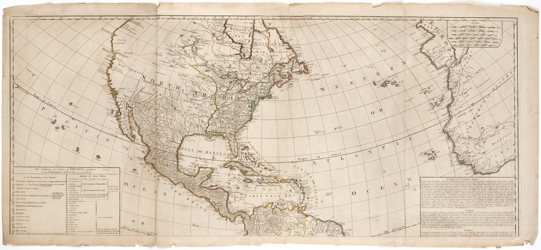
A New map of the whole continent of America, divided into North and South and West Indies. : With a descriptive account of the European possessions as settled by the difinitive treaty of peace at Paris Feby. 10th 1763
A New map of the whole continent of America, divided into North and South and West Indies.
Item Information
Title:
A New map of the whole continent of America, divided into North and South and West Indies. : With a descriptive account of the European possessions as settled by the difinitive treaty of peace at Paris Feby. 10th 1763
Description:
Subject: Map of the Western Hemisphere. Includes cartouche at bottom right with a native headpiece and quiver, a beaver and a crocodile or alligator, set in a landscape.
Compiled from Mr. D'Anville's maps of that continent, and corrected in the several parts beloning to Great Britain, from the original materials of Governor Pownall, M.P.
Prime meridian: Ferro.
Relief shown pictorially.
Inset: The supplement to North America containing the countries adjoining to Baffins & Hudsons bays.
"The continent and islands of America possessed by the European nations are as follows ... "