American Antiquarian Society
Maps from AAS
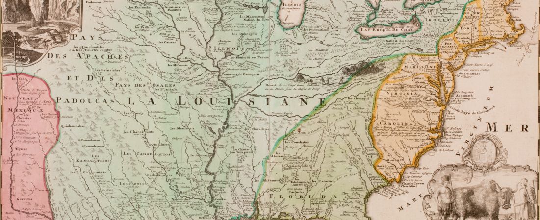
Available here is a small sampling of the approximately 10,000 maps in the American Antiquarian Society's collection. Most of these are printed maps of eastern North America and the West Indies not duplicated in the Leventhal Map Center collection, as well as a smaller number of manuscript maps of local Massachusetts interest, all dated during the last half of the 18th century.
More information about cartographic materials available at AAS can be found on the AAS website here: https://www.americanantiquarian.org/maps-and-atlases
More information about cartographic materials available at AAS can be found on the AAS website here: https://www.americanantiquarian.org/maps-and-atlases