Skip to search
Skip to main content
Digital Commonwealth
Sign Up / Log In
Search for
Search
Search
Search
Basic
Advanced
Explore
Map
Collections
Institutions
Formats
For Educators
Primary Source Sets
Lesson Plans
Using Primary Sources
Searching Digital Commonwealth
For Institutions
Join Digital Commonwealth
Conferences, Trainings, & Events
How to Contribute Collections
Digitization Services
Board & Committees
Frequently Asked Questions
About
About Digital Commonwealth
News & Announcements
Copyright & Terms of Use
Harmful Content Statement
Partners
API
Contact Us
Boston Public Library
Norman B. Leventhal Map Center Collection
/
Maritime Charts and Atlases (Collection of Distinction)
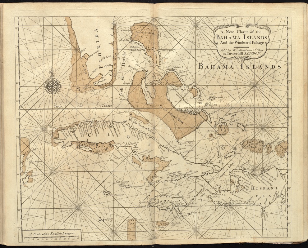
A new chart of the Bahama Islands and the Windward Passage
A new chart of the Bahama Islands and the Windward Passage
×
Item Information
Title:
A new chart of the Bahama Islands and the Windward Passage
Creator:
Thornton, John, 1641-1708
Date:
[1737]
Format:
Maps/Atlases
Location:
Boston Public Library
Norman B. Leventhal Map Center
Collection (local):
Norman B. Leventhal Map Center Collection
Subjects:
Nautical charts--West Indies--Early works to 1800
Bahamas--Maps--Early works to 1800
West Indies--Maps--Early works to 1800
Places:
Bahamas
West Indies
Extent:
1 map : hand col. ; 43 x 51 cm.
Permalink:
https://ark.digitalcommonwealth.org/ark:/50959/cj82m528d
Terms of Use:
No known copyright restrictions.
No known restrictions on use.
Publisher:
London : Sold by W. Mount and T. Page on Tower Hill
Scale:
Scale [ca. 1:2,880,000]
Language:
English
Notes:
Relief shown pictorially. Depths shown by soundings.
In the English pilot, the fourth book. London : Printed for William Mount and Thomas Page, 1737.
Notes (date):
This date is inferred.
Identifier:
06_01_010279
Call #:
G1106.P5 E54 1737
Barcode:
30000003250858
show more...
View MODS XML
More Like This
Carta esferica que comprende una parta de las Islas Antillas, las ...
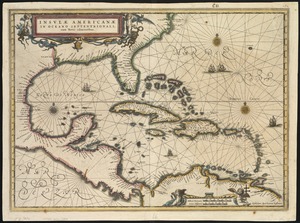
Insulae Americanae in Oceano Septentrionali, cum terris adiacentibus
A new and improved chart of the West India or Carribbee [sic] Islands
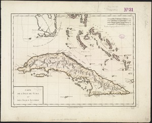
Carte de l'Isle de Cuba et des Isles Lucayes
Find More Like This >>
Tools
Share
Facebook
Pinterest
X
Reddit
Tumblr
Email
Copy link
Add to Folder
Questions/Comments
Cite This Item
IIIF Manifest
Downloads
Primary (full resolution, uncompressed)
(TIF, 104 MB)
Large (full resolution)
(JPEG, 8.72 MB)
Medium
(JPEG, 365 KB)

![A new and improved chart of the West India or Carribbee [sic] Islands](https://bpldcassets.blob.core.windows.net/derivatives/images/commonwealth:kk91fq95z/image_thumbnail_300.jpg)