Search


![[Fort Moultrie, Charlestown, South Carolina]](https://bpldcassets.blob.core.windows.net/derivatives/images/commonwealth:9s161d527/image_thumbnail_300.jpg)


Limit your search
- North and Central America29,182
- United States27,959
- Massachusetts23,334
- Suffolk (county)4,782
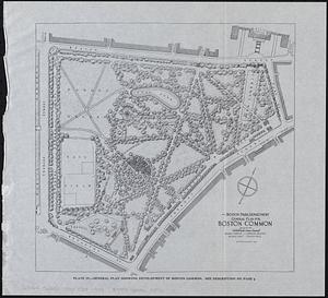
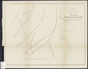
- Boston4,621
- Essex (county)2,471
- Massachusetts--Worcester County1,926
- Europe1,649
- Maps/Atlases20,389
- Photographs11,593
- Prints8,861
- Manuscripts2,432
- Documents448
- Books391
- Drawings/Illustrations333
- Letters/Correspondence331
- Norman B. Leventhal Map & Education Center Collection11,713
- William P. MacConnell Aerial Photograph Collection, ca. 1950-200010,047
- Boston and New England Maps (Collection of Distinction)5,680
- Urban Maps (Collection of Distinction)5,273
- Land study maps, 1936-19371,680
- Maritime Charts and Atlases (Collection of Distinction)1,110
- American Revolutionary War-Era Maps (Collection of Distinction)848
- Lawrence, Mass. Engineering Department. City Sewers717