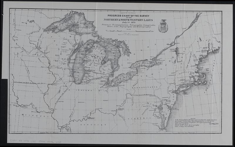
Progress chart of the Survey of the Northern & North Western Lakes, July 1st, 1873 : primary triangulation, telegraphic longitudes, shore line, topography and hydrography
Progress chart of the Survey of the Northern & North Western Lakes, July 1st, 1873
Item Information
Title:
Progress chart of the Survey of the Northern & North Western Lakes, July 1st, 1873 : primary triangulation, telegraphic longitudes, shore line, topography and hydrography
Covers west to Red River of the North, east to the Atlantic Ocean, north to Lake Superior, and south to Cairo, Kentucky.
Prime meridians: Greenwich and Washington.
From Executive documents printed by order of the House of Representatives 1873-'74. Report of the chief of engineers (Washington, D.C. : Government Printing Office, 1874).