Skip to search
Skip to main content
Skip to first result
Digital Commonwealth
Folders
Sign Up / Log In
Search for
Search
Search
Search
Basic
Advanced
Explore
Map
Collections
Institutions
Formats
For Educators
Primary Source Sets
Lesson Plans
Using Primary Sources
Searching Digital Commonwealth
For Institutions
Join Digital Commonwealth
Conferences, Trainings, & Events
How to Contribute Collections
Digitization Services
Board & Committees
Frequently Asked Questions
About
About Digital Commonwealth
News & Announcements
Copyright & Terms of Use
Harmful Content Statement
Partners
API
Contact Us
Search
Search Constraints
Start Over
Save Search
Your search:
More Like
commonwealth-oai:pc289r30k
✖
Remove constraint More Like: commonwealth-oai:pc289r30k
« Prev.
|
101
-
200
of
202
|
Next »
Sort
by relevance
relevance
title
date (asc)
date (desc)
Number of results to display per page
100
per page
per page
10
per page
20
per page
50
per page
100
per page
View results as:
List
list view
Maps
map view
Gallery
grid view
Search Results
101.
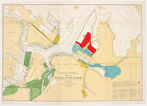
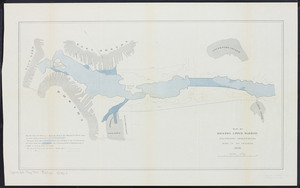
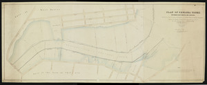
Map of Boston Inner Harbor: to accompany report under Chapter 93, Resolves of 1907
102.
Map of Boston upper harbor: illustrating improvements made in its channels, 1878
103.
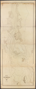
Map of the harbor of New Bedford in the state of Massachusetts
104.
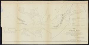
Map of Wareham River showing a scheme of harbor lines and improvement
105.
Map showing changes in Cotamy Beach, and openings through same, 1846 to 1886
106.
Map showing changes in Nantucket Sound, 1784 to 1885
107.
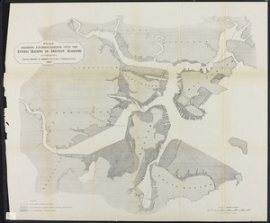
Map showing the boundary lines in tide water between the city of Gloucester and towns of Ipswich and Essex
108.
Map showing the bounds of the Province lands of the Commonwealth of Massachusetts
109.
Mouth of Green Harbor River, Massachusetts
110.
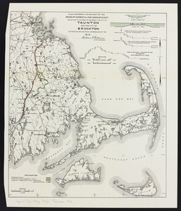
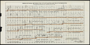
Plan accompanying report of the Board of Harbor & Land Commissioners relative to a waterway between the city of Taunton and...
111.
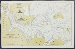
Plan accompanying report of the Board of Harbor & Land Commissioners relative to a waterway between the city of Taunton and...
112.
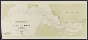
Plan for a reserved channel on the Commonwealth's Flats at South Boston
113.
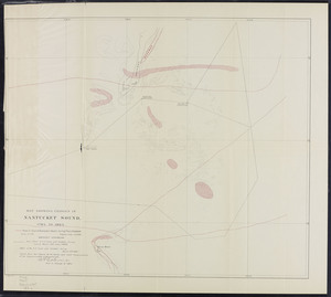
Plan for the occupation of flats owned by the Commonwealth in Boston harbor
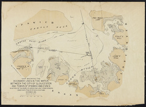
114.
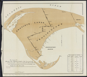
Plan for the occupation of flats owned by the Commonwealth in Boston Harbor
115.
Plan for the occupation of flats owned by the Commonwealth in Boston Harbor
116.
Plan for the occupation of flats owned by the Commonwealth in Boston harbor
117.
Plan for the occupation of flats owned by the Commonwealth in Boston harbor
118.
Plan for the occupation of flats owned by the Commonwealth in Boston harbor
119.
Plan for the occupation of flats owned by the Commonwealth in Boston harbor
120.
Plan for the occupation of flats owned by the Commonwealth in Boston harbor
121.
Plan no. 1 for the occupation of flats owned by the Commonwealth in Boston harbor: made under the direction of the Legislative...
122.
Plan no. 2 for the occupation of the flats owned by the Commonwealth in Boston harbor: and for connecting the same with the...
123.
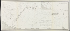
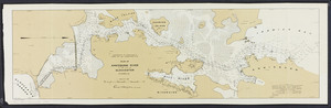
Plan of a portion of Plymouth Harbor: showing location of projected channel to wharf of Plymouth Cordage Co.
124.
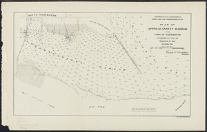
Plan of a portion of the South Boston flats
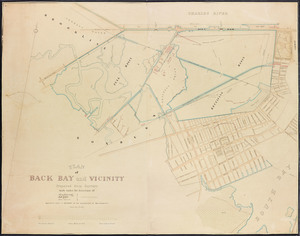
125.
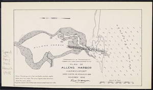
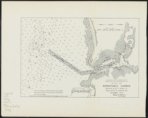
Plan of Allens Harbor, Harwichport: under Chapter 106, Resolves of 1908
126.
Plan of Annisquam River in the city of Gloucester
127.
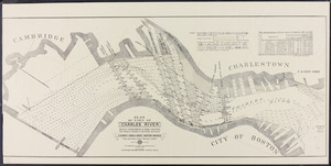
Plan of Annisquam River in the city of Gloucester
128.
Plan of Apponagansett Harbor in the town of Dartmouth
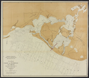
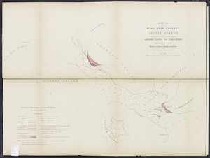
129.
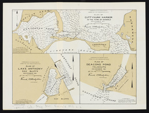
Plan of Back Bay and vicinity
130.
Plan of Barnstable harbor, Barnstable: under Chapter 106, Resolves of 1908
131.
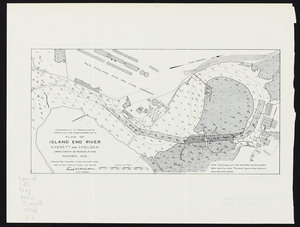
Plan of Boston Upper Harbor: from bridges to lower middle showing location of proposed anchorage basin under Chapter 97,...
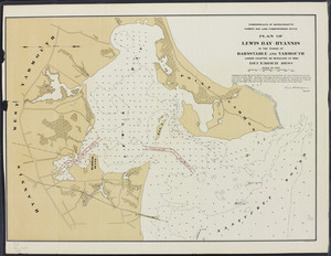
132.
Plan of boundary line between the Commonwealth of Massachusetts and the State of Connecticut
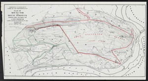
133.
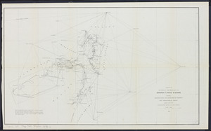
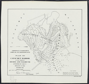
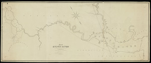
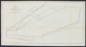
Plan of Cataumet Harbor in the towns of Bourne and Falmouth
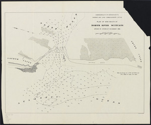
134.
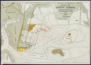
Plan of Charles River to the head of tide waters
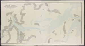
135.
Plan of Chelsea Creek between East Boston and Chelsea exhibiting the circumscribing line to which wharves may be extended
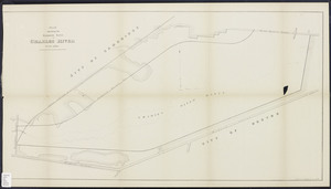
136.
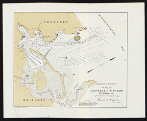
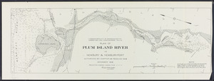
Plan of Cohasset Harbor
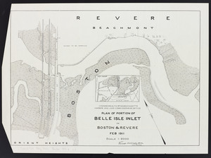
137.
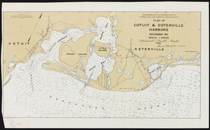
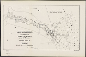
Plan of Cotuit and Osterville Harbors
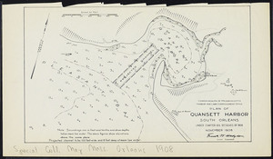
138.
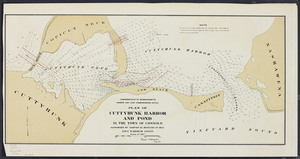
Plan of Cuttyhunk Harbor and Pond in the town of Gosnold
139.
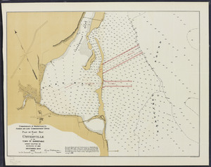
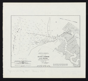
Plan of Cuttyhunk Harbor: in the town of Gosnold
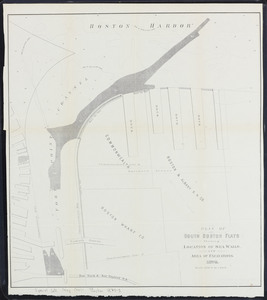
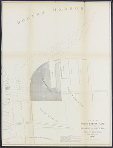
140.
Plan of East Bay at Osterville in the town of Barnstable
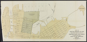
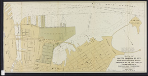
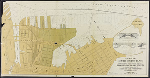
141.
Plan of harbor at Cotuit and Osterville in the town of Barnstable: showing location of proposed channel from South Bay to...
142.
Plan of Island End River, Everett and Chelsea: under Chapter 106, Resolves of 1908
143.
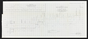
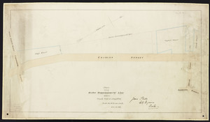
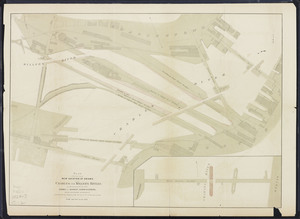
Plan of Lewis Bay - Hyannis in the towns of Barnstable and Yarmouth
144.
Plan of main ship channel in Boston harbor: showing the work of removing certain obstructions to navigation
145.
Plan of Mount Tom and Mount Nonotuck: showing area suitable for a state reservation
146.
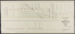
Plan of Mystic River
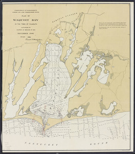
147.
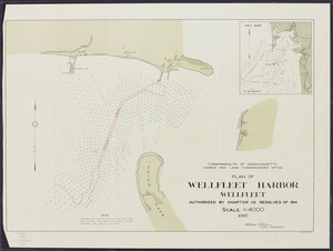
Plan of new mouth of North River, Scituate: opened by storm of November 1898
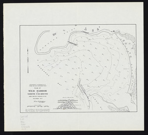
148.
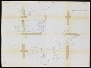
Plan of northerly portion of Boston Harbor: showing possible improvement of East Boston Flats
149.
Plan of part of Boston Harbor: showing improvements made in its channels
150.
Plan of part of Charles River: showing encroachments of bridge structures and physical changes in the river between U.S. Navy...
151.
Plan of part of Wareham River: in the town of Wareham
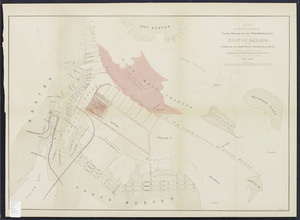
152.
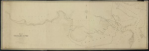
Plan of Plum Island River in Newbury and Newburyport
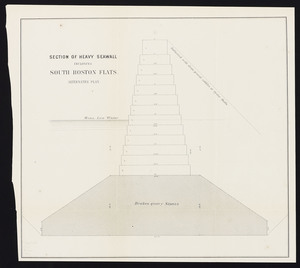
153.
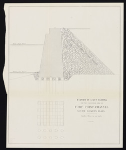
Plan of portion of Belle Isle Inlet: in Boston & Revere
154.
Plan of portion of Herring River in the town of Harwich
155.
Plan of Quansett Harbor, South Orleans
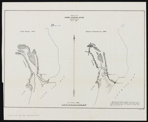
156.
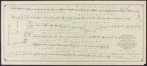
Plan of Saugus River below Salem Turnpike
157.
Plan of Saugus River: below Salem Turnpike
158.
Plan of Sesuit Harbor in East Dennis: under Chapter 32 Resolves of 1907
159.
Plan of South Boston flats: showing location of sea walls and area of excavations
160.
Plan of South Boston Flats: showing location of sea walls and area of excavations and filling
161.
Plan of South Boston flats: showing present condition and sketch of proposed docks and streets
162.
Plan of South Boston Flats: showing present condition and sketch of proposed docks and streets
163.
Plan of South Boston Flats: showing present condition and sketch of proposed docks and streets
164.
Plan of South Boston Flats: showing present condition and sketch of proposed docks to accompany annual report of Harbor and...
165.
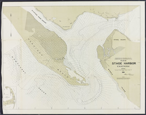
Plan of Stage Harbor, Chatham
166.
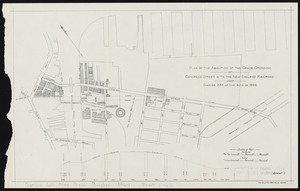
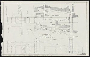
Plan of the abolition of the grade crossing: of Congress Street with the New England Railroad. Sheet 1
167.
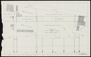
Plan of the abolition of the grade crossing: of Congress Street with the New England Railroad. Sheet 2
168.
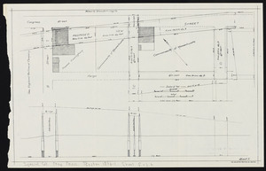
Plan of the abolition of the grade crossing: of Congress Street with the New England Railroad. Sheet 3
169.
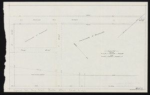
Plan of the abolition of the grade crossing: of Congress Street with the New England Railroad. Sheet 4
170.
Plan of the abolition of the grade crossing: of Congress Street with the New England Railroad. Sheet 5
171.
Plan of the abolition of the grade crossing: of Congress Street with the New England Railroad. Sheet 6
172.
Plan of the location of Northern Avenue: from Atlantic Avenue to and over the land and flats of the Commonwealth at South Boston
173.
Plan of Waquoit Bay in the town of Falmouth
174.
Plan of Wellfleet Harbor, Wellfleet
175.
Plan of Wild Harbor at North Falmouth
176.
Plan showing encroachments upon the inner basins of Boston harbor: accompanying annual report of Harbor and Land Commissioners,...
177.
Plan showing Harbor Commissioners' line between Vinal's Whf. & City's Whf.
178.
Plan showing new location of draws over Charles and Miller's Rivers: as determined by the Board of Harbor Commissioners, with...
179.
Plan showing proposed harbor line at Rocky Neck, Gloucester Harbor
180.
Plan showing the harbor line in Charles River
181.
Plan showing the harbor line in Charles River
182.
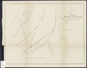
Plan showing the harbor line in Fort Point Channel
183.
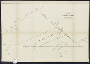
Plan showing the harbor line in Mystic River
184.
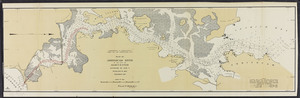
Plan showing the harbor line in Mystic River [South Channel]
185.
Plans for sea wall on South Boston flats: architectural drawings. Sheet 1: Section of Heavy Seawall Inclosing South Boston...
186.
Plans for sea wall on South Boston flats: architectural drawings. Sheet 2: Section of Light Seawall on the Easterly Side of...
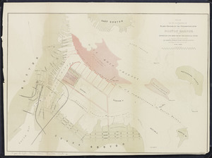
187.
[Plans of the South Bay]. Map A. Plan for the occupation of the South Boston flats
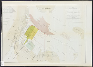
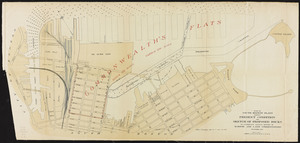
188.
[Plans of the South Bay]. Map B. Plan of the first section for the occupation of the South Boston flats
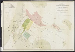
189.
[Plans of the South Bay]. Map C. Plan of South Bay showing changes in the Harbor Commissioners Lines
190.
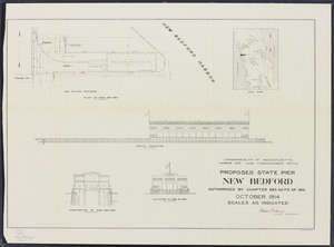
Proposed state pier, New Bedford
191.
Reclamation of the Green Harbor River and North River marshes
192.
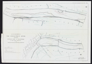
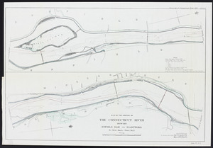
Resurvey of the Connecticut River, 1897. Plate I: Between Enfield Dam and Hartford. Sheet 1
193.
Resurvey of the Connecticut River, 1897. Plate II: between Enfield Dam and Hartford. Sheet 2
194.
Resurvey of the Connecticut River, 1897. Plate III: between Enfield Dam and Hartford. Sheet 3
195.
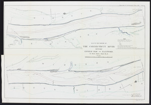
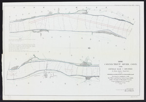
Resurvey of the Connecticut River, 1897. Plate IV: from Enfield Dam to Holyoke. Sheet 1
196.
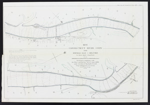
Resurvey of the Connecticut River, 1897. Plate V: from Enfield Dam to Holyoke. Sheet 2
197.
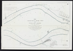
Resurvey of the Connecticut River, 1897. Plate VI: from Enfield Dam to Holyoke. Sheet 3
198.
Resurvey of the Connecticut River, 1897. Plate VII: Profile of the Connecticut River from Hartford to Holyoke
199.
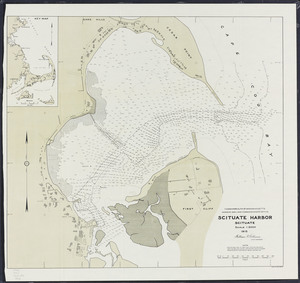
Scituate Harbor
200.
Sketch of re-survey of the wharf lines of Boston upper harbor: showing triangulation and geographical positions, and...
« Previous
Next »
1
2
3
Limit your search
Subject
Harbors--Massachusetts--Boston--Maps
58
Boston (Mass.)--Maps
10
Massachusetts--Maps
10
Boston Harbor (Mass.)--Maps
8
Charles River (Mass.)--Maps
7
Connecticut River--Maps
7
Connecticut--Maps
7
New England Railroad--Maps
6
more
Subject
»
Place
North and Central America
202
United States
202
Massachusetts
200
Suffolk (county)
82
Boston
78
Plymouth (county)
30
Middlesex (county)
24
Barnstable (county)
23
more
Place
»
Format
Maps/Atlases
159
Books
41
Photographs
2
Date
View distribution
Current results range from
1839
to
1916
Date range begin
Date range end
View larger »
Unknown
1
Collection
Massachusetts Board of Harbor and Land Commissioners
202
Institution
State Library of Massachusetts
202
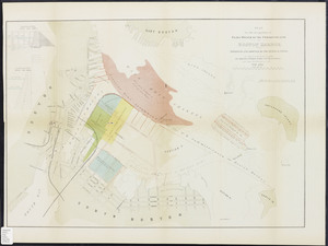


![Plan showing the harbor line in Mystic River [South Channel]](https://bpldcassets.blob.core.windows.net/derivatives/metadata/commonwealth-oai:jd473c39r/image_thumbnail_300.jpg)
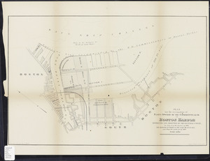
![[Plans of the South Bay]. Map A. Plan for the occupation of the South Boston flats](https://bpldcassets.blob.core.windows.net/derivatives/metadata/commonwealth-oai:m039km391/image_thumbnail_300.jpg)
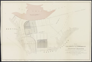
![[Plans of the South Bay]. Map B. Plan of the first section for the occupation of the South Boston flats](https://bpldcassets.blob.core.windows.net/derivatives/metadata/commonwealth-oai:f1882318v/image_thumbnail_300.jpg)
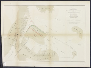
![[Plans of the South Bay]. Map C. Plan of South Bay showing changes in the Harbor Commissioners Lines](https://bpldcassets.blob.core.windows.net/derivatives/metadata/commonwealth-oai:kw52jr44j/image_thumbnail_300.jpg)