Search


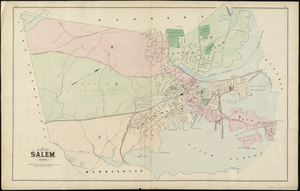
![[Map of Salem, Mass.]](https://bpldcassets.blob.core.windows.net/derivatives/images/commonwealth:8336h3099/image_thumbnail_300.jpg)


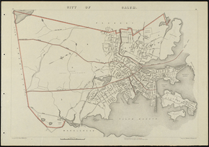
![[Map of Salem, Mass.]](https://bpldcassets.blob.core.windows.net/derivatives/metadata/commonwealth-oai:d504x457x/image_thumbnail_300.jpg)
Limit your search
- North and Central America7,824
- United States6,584
- Suffolk (county)3,337
- Boston3,197
- Massachusetts3,183
- Europe963
- Middlesex (county)617
- Canada427
Current results range from 1482 to 2023
- Norman B. Leventhal Map Center Collection10,999
- Boston and New England Maps (Collection of Distinction)5,104
- Urban Maps (Collection of Distinction)4,845
- Maritime Charts and Atlases (Collection of Distinction)750
- American Revolutionary War-Era Maps (Collection of Distinction)615
- Boston Redevelopment Authority Collection86
- Historic Maps4
- Massachusetts Real Estate Atlases4