Skip to search
Skip to main content
Digital Commonwealth
Sign Up / Log In
Search for
Search
Search
Search
Basic
Advanced
Explore
Map
Collections
Institutions
Formats
For Educators
Primary Source Sets
Lesson Plans
Using Primary Sources
Searching Digital Commonwealth
For Institutions
Join Digital Commonwealth
Conferences, Trainings, & Events
How to Contribute Collections
Digitization Services
Board & Committees
Frequently Asked Questions
About
About Digital Commonwealth
News & Announcements
Copyright & Terms of Use
Harmful Content Statement
Partners
API
Contact Us
Boston Public Library
Norman B. Leventhal Map Center Collection
/
Urban Maps (Collection of Distinction)
/
Boston and New England Maps (Collection of Distinction)
Atlas of Essex County, Massachusetts
Read online
Item Information
Title:
Atlas of Essex County, Massachusetts
Publisher:
Geo. H. Walker & Co.
Name on Item:
compiled from recent and actual surveys and records under the direction of the publishers
Date:
1884
Format:
Maps/Atlases
Books
Location:
Boston Public Library
Norman B. Leventhal Map Center
Collection (local):
Norman B. Leventhal Map Center Collection
Subjects:
Essex County (Mass.)--Maps
Saugus (Mass.)--Maps
Lynn (Mass.)--Maps
Salem (Mass.)--Maps
Lynnfield (Mass.)--Maps
Nahant (Mass.)--Maps
Swampscott (Mass.)--Maps
Marblehead (Mass.)--Maps
Bradford (Mass.)--Maps
Peabody (Mass.)--Maps
Danvers (Mass.)--Maps
Danversport (Mass.)--Maps
Beverly (Mass.)--Maps
Manchester (Mass.)--Maps
Rockport (Mass.)--Maps
Gloucester (Mass.)--Maps
Middleton (Mass.)--Maps
Wenham (Mass.)--Maps
Ipswich (Mass.)--Maps
Rowley (Mass. : Town)--Maps
Topsfield (Mass.)--Maps
Hamilton (Mass.)--Maps
Essex (Mass. : Town)--Maps
Boxford (Mass.)--Maps
Andover (Mass.)--Maps
Ballardvale (Mass.)--Maps
Shawsheen Village (Mass.)--Maps
Georgetown (Mass.)--Maps
North Andover (Mass.)--Maps
Methuen (Mass.)--Maps
Lawrence (Mass.)--Maps
Groveland (Mass.)--Maps
Newburyport (Mass.)--Maps
Newbury (Mass.)--Maps
Merrimac (Mass.)--Maps
West Newbury (Mass. : Town)--Maps
Haverhill (Mass.)--Maps
Amesbury (Mass.)--Maps
Salisbury (Mass. : Town)--Maps
Places:
Essex (county)
Extent:
1 atlas (178 leaves of plates) : illustrations, color maps ; 45 cm
Permalink:
https://ark.digitalcommonwealth.org/ark:/50959/3t948d844
Terms of Use:
No known copyright restrictions.
No known restrictions on use.
Publisher:
Boston [Mass.] : Geo. H. Walker & Co.
Scale:
Scales differ
Language:
English
Notes:
Relief shown by hachures.
Identifier:
06_01_018457
Call #:
G1233.E7 W35 1884
Barcode:
39999059003598
show more...
View MODS XML
More Like This
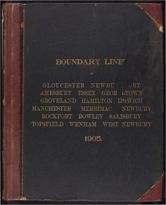
Atlas of the boundaries of the cities of Gloucester and ...
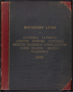
Atlas of the boundaries of the cities of Haverhill, Lawrence and ...
Atlas of the towns of Topsfield, Ipswich, Essex, Hamilton and ...
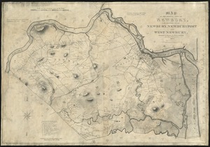
Map of the original town of Newbury, now divided into Newbury, ...
Find More Like This >>
Tools
Share
Facebook
Pinterest
X
Reddit
Tumblr
Email
Copy link
Add to Folder
Questions/Comments
Cite This Item
IIIF Manifest
Downloads
Primary (full resolution, uncompressed)
(TIF, multi-file ZIP, 18.6 GB)
Large (full resolution)
(JPEG, multi-file ZIP, 169 MB)
Medium
(JPEG, multi-file ZIP, 13.6 MB)