Skip to search
Skip to main content
Skip to first result
Digital Commonwealth
Folders
Sign Up / Log In
Search for
Search
Search
Search
Basic
Advanced
Explore
Map
Collections
Institutions
Formats
For Educators
Primary Source Sets
Lesson Plans
Using Primary Sources
Searching Digital Commonwealth
For Institutions
Join Digital Commonwealth
Conferences, Trainings, & Events
How to Contribute Collections
Digitization Services
Board & Committees
Frequently Asked Questions
About
About Digital Commonwealth
News & Announcements
Copyright & Terms of Use
Harmful Content Statement
Partners
API
Contact Us
Search
Search Constraints
Start Over
Save Search
Your search:
More Like
commonwealth:ht250326t
✖
Remove constraint More Like: commonwealth:ht250326t
« Prev.
|
10,201
-
10,300
of
11,010
|
Next »
Sort
by date (asc)
relevance
title
date (asc)
date (desc)
Number of results to display per page
100
per page
per page
10
per page
20
per page
50
per page
100
per page
View results as:
List
list view
Maps
map view
Gallery
grid view
Search Results
10201.
Map of Alaska
10202.
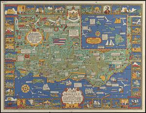
A map of Honolulu and the Sandwich Islands which we now call the Hawaiian Islands
10203.
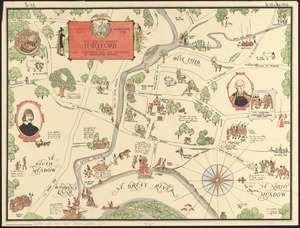
The map of pioneer Hartford : founded 1636, incorporated 1784, showing early landmarks and the locations of historical events
10204.
Map of the Boston Elevated Ry. 1927
10205.
Map of the Canadian Rockies triangle tour of British Columbia, Alaska and the Yukon
10206.
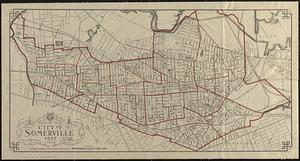
Map of the city of Somerville 1927
10207.
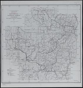
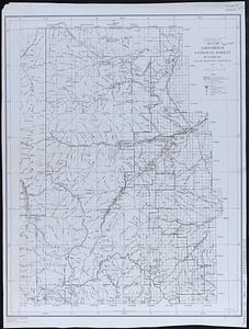
Montezuma National Forest, Colorado
10208.
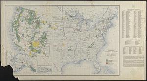
National forests, state forests, national parks, national monuments and Indian reservations
10209.
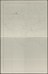
Oil and gas fields of the state of Texas
10210.
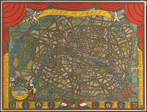
Plan de Paris
10211.
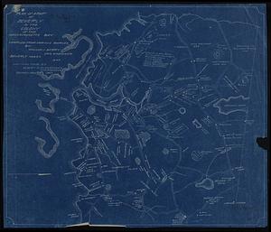
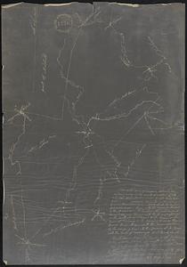
Plan of a part of Beverly in the Colony of the Massachusetts Bay
10212.
A plan of the town of Walpole taken by an actual survey in the month of October 1794 and layed down from a scale of 200 rods to...
10213.
Puno - Rio Beni : South America 1:1,000,000
10214.
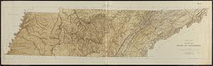
Relief map, state of Tennessee
10215.
Shoshone National Forest, Wyoming
10216.
St. Joe National Forest, Idaho
10217.
Street map of Philadelphia : issued by the Philadelphia Hotel Association, Philadelphia, Pa.
10218.
System of state roads
10219.
Tonto National Forest, Arizona
10220.
Uinta National Forest, Utah
10221.
Atlas of the city of Boston : Boston proper and Back Bay : from actual surveys and official plans
10222.
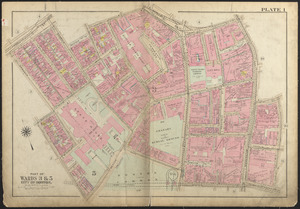
Atlas of the city of Boston, Boston proper and Back Bay : plate 1
10223.
Atlas of the city of Boston, Boston proper and Back Bay : plate 2
10224.
Atlas of the city of Boston, Boston proper and Back Bay : plate 3
10225.
Atlas of the city of Boston, Boston proper and Back Bay : plate 4
10226.
Atlas of the city of Boston, Boston proper and Back Bay : plate 5
10227.
Atlas of the city of Boston, Boston proper and Back Bay : plate 6
10228.
Atlas of the city of Boston, Boston proper and Back Bay : plate 7
10229.
Atlas of the city of Boston, Boston proper and Back Bay : plate 8
10230.
Atlas of the city of Boston, Boston proper and Back Bay : plate 9
10231.
Atlas of the city of Boston, Boston proper and Back Bay : plate 10
10232.
Atlas of the city of Boston, Boston proper and Back Bay : plate 11
10233.
Atlas of the city of Boston, Boston proper and Back Bay : plate 12
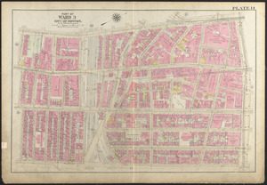
10234.
Atlas of the city of Boston, Boston proper and Back Bay : plate 13
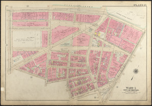
10235.
Atlas of the city of Boston, Boston proper and Back Bay : plate 14
10236.
Atlas of the city of Boston, Boston proper and Back Bay : plate 15
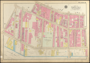
10237.
Atlas of the city of Boston, Boston proper and Back Bay : plate 16
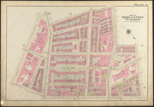
10238.
Atlas of the city of Boston, Boston proper and Back Bay : plate 17
10239.
Atlas of the city of Boston, Boston proper and Back Bay : plate 18
10240.
Atlas of the city of Boston, Boston proper and Back Bay : plate 19
10241.
Atlas of the city of Boston, Boston proper and Back Bay : plate 20
10242.
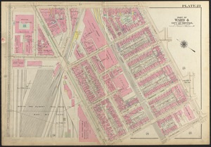
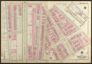
Atlas of the city of Boston, Boston proper and Back Bay : plate 21
10243.
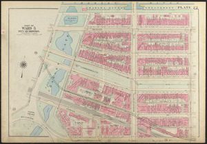
Atlas of the city of Boston, Boston proper and Back Bay : plate 22
10244.
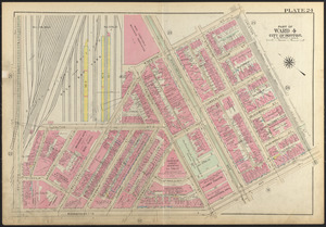
Atlas of the city of Boston, Boston proper and Back Bay : plate 23
10245.
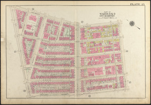
Atlas of the city of Boston, Boston proper and Back Bay : plate 24
10246.
Atlas of the city of Boston, Boston proper and Back Bay : plate 25
10247.
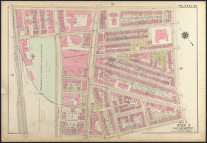
Atlas of the city of Boston, Boston proper and Back Bay : plate 26
10248.
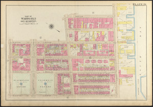
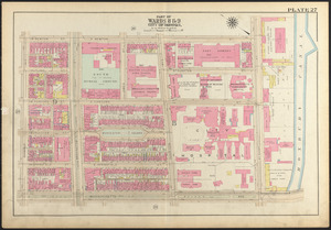
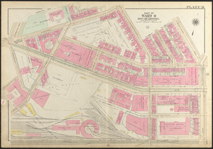
Atlas of the city of Boston, Boston proper and Back Bay : plate 27
10249.
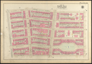
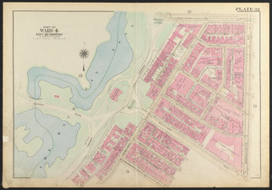
Atlas of the city of Boston, Boston proper and Back Bay : plate 28
10250.
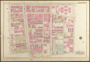
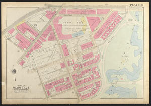
Atlas of the city of Boston, Boston proper and Back Bay : plate 29
10251.
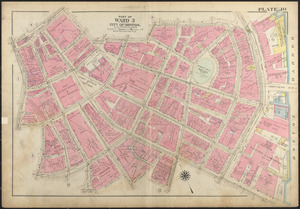
Atlas of the city of Boston, Boston proper and Back Bay : plate 30
10252.
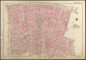
Atlas of the city of Boston, Boston proper and Back Bay : plate 31
10253.
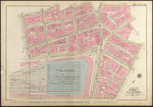
Atlas of the city of Boston, Boston proper and Back Bay : plate 32
10254.
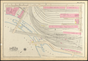
Atlas of the city of Boston, Boston proper and Back Bay : plate 33
10255.
Atlas of the city of Boston, Boston proper and Back Bay : plate 34
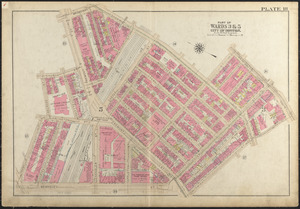
10256.
Atlas of the city of Boston, Boston proper and Back Bay : plate 35
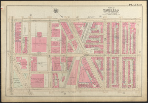
10257.
Atlas of the city of Boston, Boston proper and Back Bay : plate 36
10258.
Density of population in greater Tokyo - census of 1926
10259.
District within fire limit of Tokyo - 1928
10260.
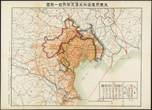
Gas and water-supply in greater Tokyo - 1928
10261.
Map in commemoration of the travels of Charles A. Lindbergh
10262.
A map of Concord, the old Musketaquid Plantation
10263.
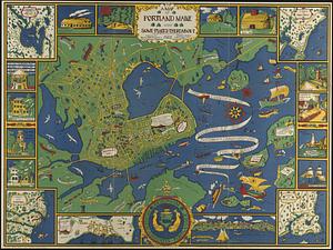
A map of Portland Maine and some places thereabout
10264.
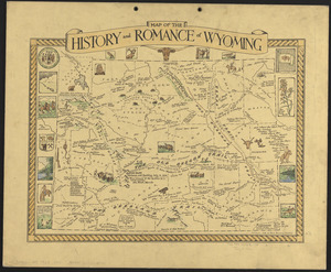
Map of the history and romance of Wyoming
10265.
A map of the history of New York state
10266.
Map showing the overland and overseas flights of Charles A. Lindbergh
10267.
New Haven
10268.
The new map of the world
10269.
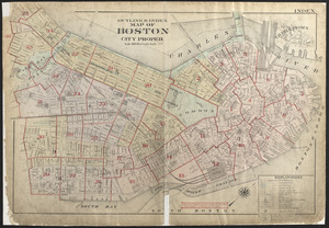
Outline & index map of Boston city proper
10270.
Plan of Boston showing existing ways and owners on December 25, 1635
10271.
Reconstruction work in Tokyo
10272.
Saskatchewan : map showing disposition of lands
10273.
Showing rental values in greater Tokyo - 1926
10274.
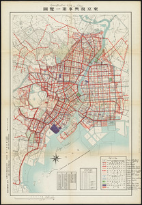
Street plan of greater Tokyo - decided 1927
10275.
Zoning map of town-planning area of Tokyo - 1925
10276.
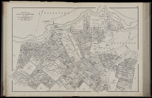
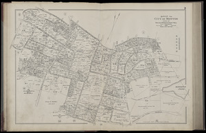
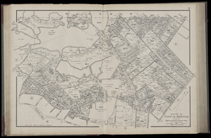
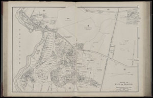
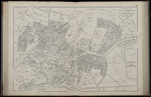
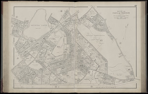
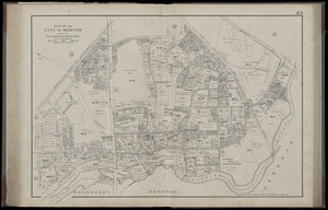
Atlas of the city of Newton, Massachusetts. plate 2
10277.
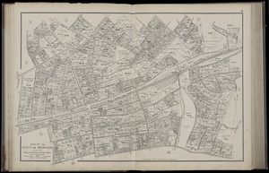
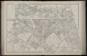
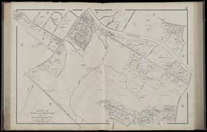
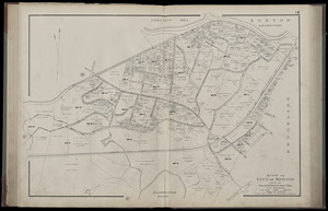
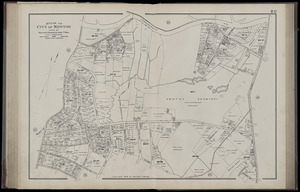
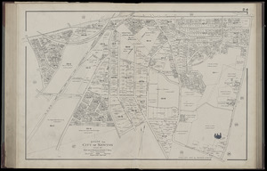
Atlas of the city of Newton, Massachusetts. plate 3
10278.
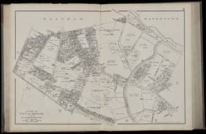
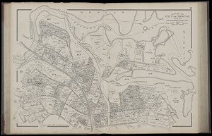
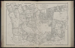
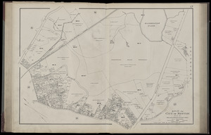
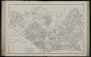
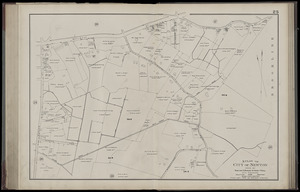
Atlas of the city of Newton, Massachusetts. plate 4
10279.
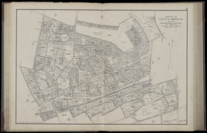
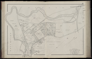
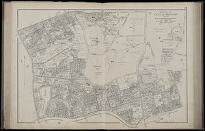
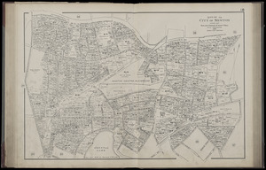
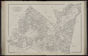
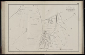
Atlas of the city of Newton, Massachusetts. plate 5
10280.
Atlas of the city of Newton, Massachusetts. plate 6
10281.
Atlas of the city of Newton, Massachusetts. plate 7
10282.
Atlas of the city of Newton, Massachusetts. plate 8
10283.
Atlas of the city of Newton, Massachusetts. plate 9
10284.
Atlas of the city of Newton, Massachusetts. plate 10
10285.
Atlas of the city of Newton, Massachusetts. plate 11
10286.
Atlas of the city of Newton, Massachusetts. plate 12
10287.
Atlas of the city of Newton, Massachusetts. plate 13
10288.
Atlas of the city of Newton, Massachusetts. plate 14
10289.
Atlas of the city of Newton, Massachusetts. plate 15
10290.
Atlas of the city of Newton, Massachusetts. plate 16
10291.
Atlas of the city of Newton, Massachusetts. plate 17
10292.
Atlas of the city of Newton, Massachusetts. plate 18
10293.
Atlas of the city of Newton, Massachusetts. plate 19
10294.
Atlas of the city of Newton, Massachusetts. plate 20
10295.
Atlas of the city of Newton, Massachusetts. plate 21
10296.
Atlas of the city of Newton, Massachusetts. plate 22
10297.
Atlas of the city of Newton, Massachusetts. plate 23
10298.
Atlas of the city of Newton, Massachusetts. plate 24
10299.
Atlas of the city of Newton, Massachusetts. plate 25
10300.
Atlas of the city of Newton, Massachusetts. plate 26
« Previous
Next »
1
2
…
99
100
101
102
103
104
105
106
107
…
110
111
Limit your search
Subject
Real property--Massachusetts--Boston--Maps
2,278
Landowners--Massachusetts--Boston--Maps
2,117
Boston (Mass.)--Maps
1,967
Roxbury (Boston, Mass.)--Maps
351
Dorchester (Boston, Mass.)--Maps
317
Cambridge (Mass.)--Maps
266
Brookline (Mass.)--Maps
236
Real property--Massachusetts--Cambridge--Maps
216
more
Subject
»
Place
North and Central America
7,824
United States
6,583
Suffolk (county)
3,338
Massachusetts
3,219
Boston
3,198
Europe
963
Middlesex (county)
617
Canada
428
more
Place
»
Format
Maps/Atlases
10,951
Manuscripts
215
Prints
51
Books
35
Objects/Artifacts
10
Drawings/Illustrations
8
Posters
4
Available to use
No known restrictions
10,934
Creative Commons license
47
Date
View distribution
Current results range from
1482
to
2023
Date range begin
Date range end
View larger »
Collection
Norman B. Leventhal Map Center Collection
11,003
Boston and New England Maps (Collection of Distinction)
5,108
Urban Maps (Collection of Distinction)
4,846
Maritime Charts and Atlases (Collection of Distinction)
750
American Revolutionary War-Era Maps (Collection of Distinction)
617
Boston Redevelopment Authority Collection
86
David Judkins Weaver Papers
3
Historic Maps
3
more
Collection
»
Institution
Boston Public Library
11,002
Salem State University Archives and Special Collections
3
American Antiquarian Society
2
Phillips Academy
2
Private Collection
1