Skip to search
Skip to main content
Skip to first result
Digital Commonwealth
Folders
Sign Up / Log In
Search for
Search
Search
Search
Basic
Advanced
Explore
Map
Collections
Institutions
Formats
For Educators
Primary Source Sets
Lesson Plans
Using Primary Sources
Searching Digital Commonwealth
For Institutions
Join Digital Commonwealth
Conferences, Trainings, & Events
How to Contribute Collections
Digitization Services
Board & Committees
Frequently Asked Questions
About
About Digital Commonwealth
News & Announcements
Copyright & Terms of Use
Harmful Content Statement
Partners
API
Contact Us
Search
Search Constraints
Start Over
Save Search
Your search:
More Like
commonwealth:bv73cc29b
✖
Remove constraint More Like: commonwealth:bv73cc29b
« Prev.
|
101
-
200
of
35,342
|
Next »
Sort
by relevance
relevance
title
date (asc)
date (desc)
Number of results to display per page
100
per page
per page
10
per page
20
per page
50
per page
100
per page
View results as:
List
list view
Maps
map view
Gallery
grid view
Search Results
101.
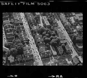
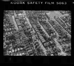
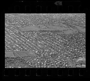
Boston suburban aerial view (unspecified location), unspecified Boston suburb
102.
Boston suburban aerial view (unspecified location), unspecified Boston suburb
103.
Boston suburban aerial view (unspecified location), unspecified Boston suburb
104.
Boston suburban aerial view (unspecified location), unspecified Boston suburb
105.
Boston suburban aerial view (unspecified location), unspecified Boston suburb
106.
Boston suburban aerial view (unspecified location), unspecified Boston suburb
107.
Boston suburban aerial view (unspecified location), unspecified Boston suburb
108.
Boston suburban aerial view (unspecified location), unspecified Boston suburb
109.
Boston suburban aerial view (unspecified location), unspecified Boston suburb
110.
Boston suburban aerial view (unspecified location), unspecified Boston suburb
111.
Boston suburban aerial view (unspecified location), unspecified Boston suburb
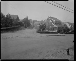
112.
Brentwood St. and Salem St. SW corner view looking southerly, July 18, 1936
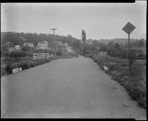
113.
Brentwood St. view looking northerly from street near Grant Rd., July 18, 1936
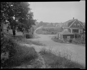
114.
Brentwood St. view looking Sly from in front of #12, July 18, 1936
115.
Bunker Hill Monument from shadow of elm on Monument Avenue
116.
Burr Street. Jamaica Plain, Massachusetts
117.
Burroughs Street. Jamaica Plain, Massachusetts
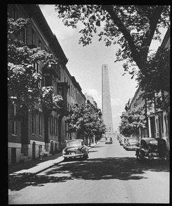
118.
Las Casas St., 10 July '97
119.
Charles St. N. Middlesex
120.
Clifton at Kernwood west
121.
"Col. Samuel Jaques house"
122.
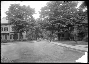
Columbia looking Nly from Cherry St., 9/10/35
123.
Columbia St. looking southerly from Sylvan St., Sept. 10, 1935
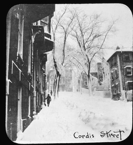
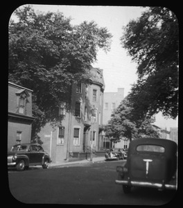
124.
Concord Avenue near Lexington Street
125.
Constance St. view looking NEly from Home St., Sept. 23, 1933
126.
Constance St. view looking SW from Bowman St., Sept. 23, 1933
127.
Cordis Street
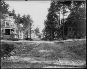
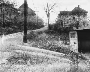
128.
Cordis Street in summer, 1941
129.
Cordis Street in winter, 1898
130.
Cordis Street not ploughed
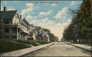
131.
Corner of Grace Ave.
132.
Craig house
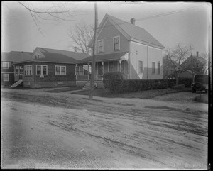
133.
Craig house, front
134.
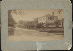
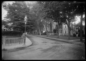
Craig house, front
135.
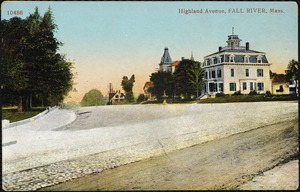
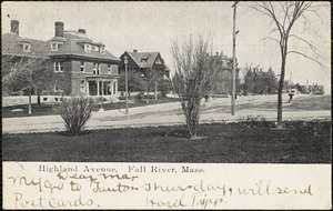
Dirt road, phone lines, several houses, small trees
136.
Dirt road with several houses
137.
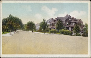
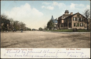
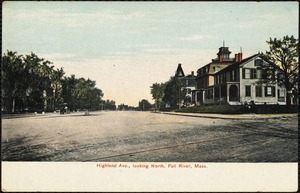
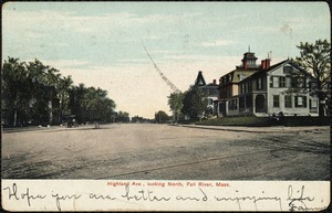
Dunster Road. Jamaica Plain, Massachusetts
138.
Erickson St. view looking NWly from in front of #6, Dec. 2, 1930
139.
Erickson St. view looking SEly from in front of #15, Dec. 2, 1930
140.
Erickson St. view looking SEly from in front of #9, Dec. 2, 1930
141.
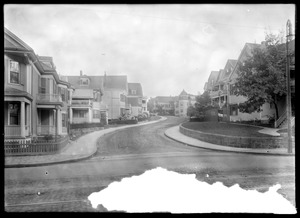
Fall River, Mass., Rock Street looking south
142.
Getchell house in blossom time (21 Cordis Street)
143.
Getchell house in winter
144.
Gordon St. looking easterly from Forest St., Sept. 23, 1933
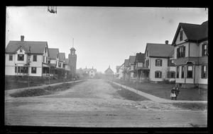
145.
Hadley St. rear view of house #9 Lynn St. looking westerly from in front of #70, July 18, 1936
146.
Hadley St. view looking easterly from in front of #94, July 18, 1936
147.
Hadley St. view looking westerly from in front of #94, July 18, 1936
148.
High Street about 1890
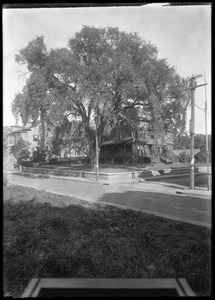
149.
High Street at head of Cordis, 1943
150.
Highland Ave., Fall River, Mass.
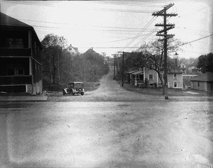
151.
Highland Ave., Fall River, Mass.
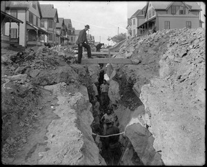
152.
Highland Ave., Fall River, Mass.
153.
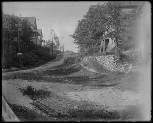
Highland Ave., Fall River, Mass.
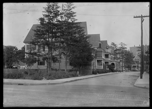
154.
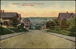
Highland Ave. looking north, Fall River, Mass.
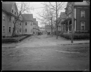
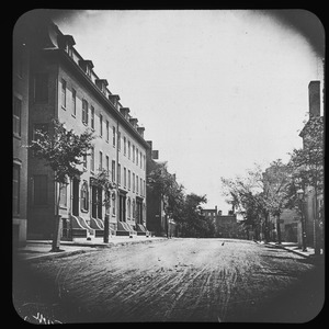
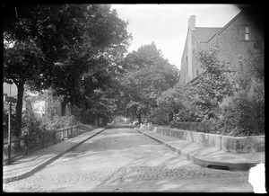
155.
Highland Ave. looking north, Fall River, Mass.
156.
Highland Ave. looking north, Fall River, Mass.
157.
Highland Ct. looking easterly from West St., Oct. 16, 1935
158.
Highland Ct. looking SE from a point abt. 175 feet from West St., Oct. 16, 1935
159.
Holmes + Kernwood
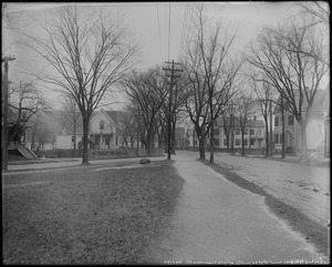
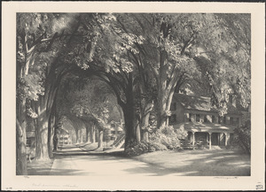
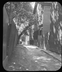
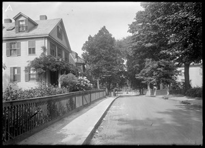
160.
House #20 Constance St. view looking NWly, Sept. 23, 1933
161.
House with family members and cat
162.
Houses on Green Street
163.
Houses on Green Street
164.
Houses on Green Street
165.
Houses on Green Street
166.
Houses on Green Street
167.
Houses on Green Street
168.
Houses on Independent Street
169.
Houses seen from street
170.
Jamaica Plain, Massachusetts. Alveston Street
171.
Jamaica Plain, Massachusetts. Alveston Street
172.
Jamaica Plain, Massachusetts. Barbara Street
173.
Jamaica Plain, Massachusetts. Everett Street
174.
Jamaica Plain, Massachusetts. Greenough Ave. from Alveston
175.
Jamaica Plain, Massachusetts. Greenough Avenue
176.
Jamaica Plain, Massachusetts. Harris Avenue from Alveston
177.
Jamaica Plain, Massachusetts. Jamaica Elm
178.
Jamaica Plain, Massachusetts. Myrtle Street
179.
Jamaica Plain, Massachusetts. Myrtle Street
180.
Jamaica Plain, Massachusetts. Oak View Terrace
181.
Junction of Montrose Ave. + Tremont St., Oct. 11. '93
182.
Junction of Preston + Havelock Sts. looking SW from Havelock St., July 26, 1935
183.
Kermit Roosevelt Jr. and William Burnham after car accident
184.
Kernwood + Clifton
185.
Kernwood at Clifton property
186.
Kernwood St. cor Clifton [illegible]
187.
Large homes
188.
Lincoln Ave. looking toward Mt. Hope Bay, Fall River, Mass.
189.
Looking down Charles Street toward South Street
190.
Looking NE from vacant lot at the junction of Lynn + Lawrence Streets, Jan. 1. 1914
191.
Looking N.W. from Lynn St. opp #589 Lynn St., Jan. 1, 1914
192.
Looking Sly opp. junction of Marshall + Porter Sts., Nov. 1, 1935
193.
Looking SW on Lynn St. near its junction with Lawrence St., Jan. 1. 1914
194.
Marshall St. looking easterly from Mt. Vernon St., Nov. 1, 1935
195.
Marshall St. looking westerly from Pierce St., Nov. 1, 1935
196.
Marshall St. looking westerly from street in front of #50, Nov. 1, 1935
197.
Meridian Parkway looking east from Meridian St., Nov. 1, 1935
198.
Meridian St.
199.
Midsummer shade
200.
Miss Caroline Reeves' house
« Previous
Next »
1
2
3
4
5
6
…
353
354
Limit your search
Subject
Houses
26,810
Public libraries
1,756
Streets
1,535
Buildings
1,393
Historic buildings
1,378
Boston Public Library
1,299
Interiors
1,282
Trees
1,099
more
Subject
»
Place
North and Central America
33,355
United States
33,256
Massachusetts
31,937
Suffolk (county)
12,603
Boston
12,387
Norfolk (county)
10,411
Needham
9,026
Back Bay
3,782
more
Place
»
Format
Photographs
32,318
Postcards/Cards
1,420
Prints
1,280
Drawings/Illustrations
297
Newspapers
176
Paintings
114
Ephemera
74
Manuscripts
53
more
Format
»
Available to use
No known restrictions
18,971
Creative Commons license
11,792
Date
View distribution
Current results range from
1659
to
2020
Date range begin
Date range end
View larger »
Unknown
241
Collection
Needham Historical House Collection
8,979
Boston Pictorial Archive (Collection of Distinction)
8,929
Bainbridge Bunting Photograph Collection
2,836
Frank Cousins Glass Plate Negatives Collection, 1890-1920
1,541
Historical Society of Old Yarmouth Archives and Local History Collection
1,533
Bill Lane Photograph Collection
808
Leon Abdalian Collection
720
Parker Collection
694
more
Collection
»
Institution
Boston Public Library
15,397
Needham Free Public Library
9,022
Historical Society of Old Yarmouth
1,616
Phillips Library at the Peabody Essex Museum
1,592
Newburyport Public Library
808
Thomas Crane Public Library
717
Hamilton Historical Society
651
Arlington Historical Society
622
more
Institution
»


![Kernwood St. cor Clifton [illegible]](https://bpldcassets.blob.core.windows.net/derivatives/images/commonwealth:xg94k667x/image_thumbnail_300.jpg)