Skip to search
Skip to main content
Skip to first result
Digital Commonwealth
Folders
Sign Up / Log In
Search for
Search
Search
Search
Basic
Advanced
Explore
Map
Collections
Institutions
Formats
For Educators
Primary Source Sets
Lesson Plans
Using Primary Sources
Searching Digital Commonwealth
For Institutions
Join Digital Commonwealth
Conferences, Trainings, & Events
How to Contribute Collections
Digitization Services
Board & Committees
Frequently Asked Questions
About
About Digital Commonwealth
News & Announcements
Copyright & Terms of Use
Harmful Content Statement
Partners
API
Contact Us
Search
Search Constraints
Start Over
Save Search
Your search:
More Like
commonwealth:66830k079
✖
Remove constraint More Like: commonwealth:66830k079
« Prev. |
1
-
20
of
31
|
Next »
Sort
by relevance
relevance
title
date (asc)
date (desc)
Number of results to display per page
20
per page
per page
10
per page
20
per page
50
per page
100
per page
View results as:
List
list view
Maps
map view
Gallery
grid view
Search Results
1.
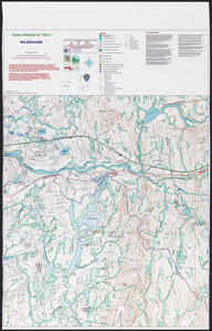
Areas affected by Title 5 Wilbraham
2.
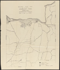
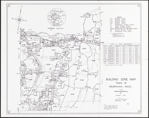
Building zone map of the town of Wilbraham, Mass.
3.
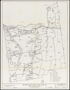
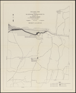
Building zone map of the town of Wilbraham, Massachusetts
4.
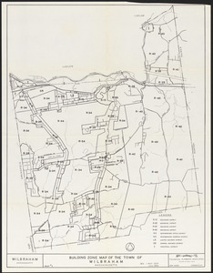
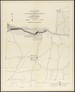
Building zone map of the town of Wilbraham, Massachusetts
5.
Building zone map of Wilbraham, Mass.
6.
Building zone map of Wilbraham, Massachusetts
7.
Building zone map of Wilbraham, Massachusetts
8.
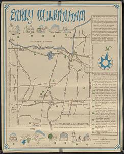
Early Wilbraham
9.
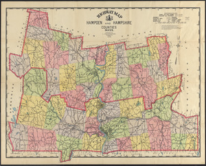
Highway map, Hampden and Hampshire counties, Mass.
10.
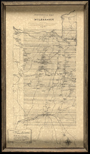
Historical map of Wilbraham
11.
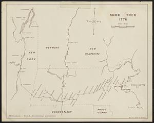
Knox Trek 1776
12.
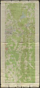
Ludlow quadrangle
13.
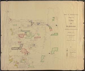
Map of properties owned by town of Wilbraham
14.
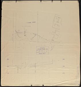
Plan & profile extension of Crane Park Dr.
15.
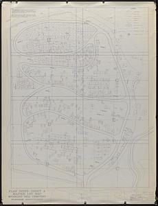
Plan index - sheet A master lot map Woodland Dell Cemetery Wilbraham, Massachusetts
16.
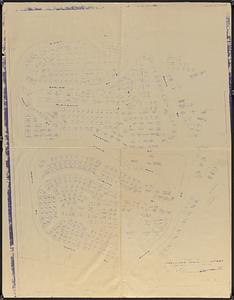
Plan of Woodland Dell Cemetery
17.
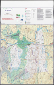
Priority resources map Wilbraham
18.
Priority resources map Wilbraham
19.
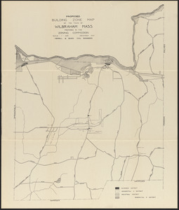
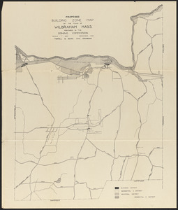
Proposed building zone map of the town of Wilbraham, Mass.
20.
Proposed building zone map of the town of Wilbraham, Mass.
« Previous
Next »
1
2
Limit your search
Subject
COVID-19 Pandemic, 2020-
11
Land use
8
Cities & towns
7
Streets
6
Water supply
3
Cemeteries
2
1700–1799
1
Trails & paths
1
Place
North and Central America
31
United States
31
Hampden (county)
30
Massachusetts
30
Wilbraham
29
Ludlow
1
New England
1
Format
Maps/Atlases
31
Available to use
Creative Commons license
31
Date
View distribution
Current results range from
1870
to
2005
Date range begin
Date range end
View larger »
Collection
Wilbraham Library Maps Collection
31
Institution
Wilbraham Public Library
31