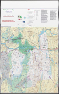
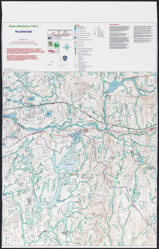
Areas affected by Title 5 Wilbraham
Item Information
- Title:
- Areas affected by Title 5 Wilbraham
- Date:
-
March 14, 2005
- Format:
-
Maps/Atlases
- Location:
- Wilbraham Public Library
- Collection (local):
-
Wilbraham Library Maps Collection
- Subjects:
-
Water supply
- Places:
-
MassachusettsHampden (county)Wilbraham
- Extent:
- 1 map ; 65 x 58 cm
- Permalink:
- https://ark.digitalcommonwealth.org/ark:/50959/66830k150
- Terms of Use:
-
No known copyright restrictions.
This work is licensed for use under a Creative Commons Attribution License (CC BY).