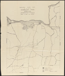
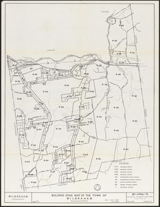
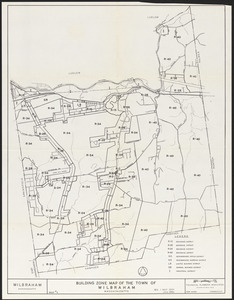
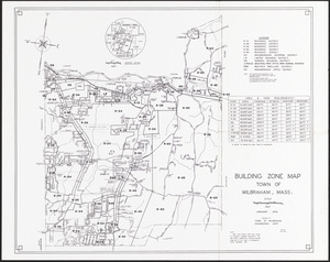
Building zone map of Wilbraham, Massachusetts
Item Information
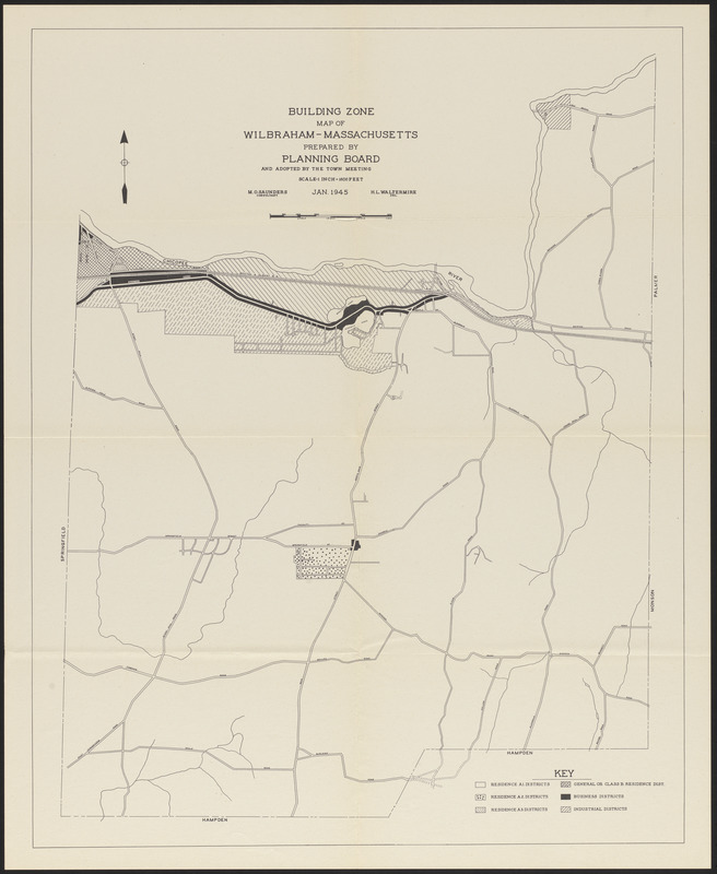
- Title:
- Building zone map of Wilbraham, Massachusetts
- Name on Item:
-
Prepared by Planning Board ; H. L. Waltermire, del. ; M. O. Saunders, consultant
- Date:
-
January 1945
- Format:
-
Maps/Atlases
- Location:
- Wilbraham Public Library
- Collection (local):
-
Wilbraham Library Maps Collection
- Subjects:
-
Land use
- Places:
-
MassachusettsHampden (county)Wilbraham
- Extent:
- 1 map ; 50 x 40 cm
- Permalink:
- https://ark.digitalcommonwealth.org/ark:/50959/66830k11w
- Terms of Use:
-
No known copyright restrictions.
This work is licensed for use under a Creative Commons Attribution License (CC BY).