Search

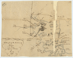


![[A chart of Boston Bay and vicinity]](https://bpldcassets.blob.core.windows.net/derivatives/images/commonwealth:cj82m2976/image_thumbnail_300.jpg)


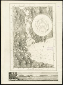
![[Coast of Maine from Frenchman Bay to Mosquito Harbor]](https://bpldcassets.blob.core.windows.net/derivatives/images/commonwealth:cj82m295n/image_thumbnail_300.jpg)


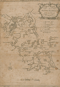
![[Coast of New England from Chatham Harbor to Naragansett Bay]](https://bpldcassets.blob.core.windows.net/derivatives/images/commonwealth:7h149x27g/image_thumbnail_300.jpg)


![[Port Shediack and Cocagne]](https://bpldcassets.blob.core.windows.net/derivatives/images/commonwealth:ws859h35r/image_thumbnail_300.jpg)


![Account of damages done to Jonathan Green during the Siege, [7 May 1776]](https://bpldcassets.blob.core.windows.net/derivatives/metadata/commonwealth-oai:2r36wb49q/image_thumbnail_300.jpg)


Limit your search
- Ships2,015
- Harbors1,661
- Sailing ships1,534
- Boats1,025
- Piers & wharves932
- Naval yards & naval stations853
- Constitution (Frigate)744
- Boat & ship industry488
- North and Central America7,363
- United States7,010
- Massachusetts5,323
- Suffolk (county)2,917
- Boston2,637
- Essex (county)961
- Boston Harbor681
- Newburyport641
- Photographs8,390
- Maps/Atlases1,365
- Postcards/Cards982
- Prints798
- Manuscripts237
- Letters/Correspondence218
- Ephemera154
- Documents135
- Leslie Jones Collection3,104
- Norman B. Leventhal Map & Education Center Collection821
- Press Photography from the Brearley Collection740
- Tichnor Brothers Postcard Collection739
- Bill Lane Photograph Collection634
- Boston Pictorial Archive (Collection of Distinction)480
- Mass. Memories Road Show470
- Maritime Charts and Atlases (Collection of Distinction)399