Skip to search
Skip to main content
Digital Commonwealth
Sign Up / Log In
Search for
Search
Search
Search
Basic
Advanced
Explore
Map
Collections
Institutions
Formats
For Educators
Primary Source Sets
Lesson Plans
Using Primary Sources
Searching Digital Commonwealth
For Institutions
Join Digital Commonwealth
Conferences, Trainings, & Events
How to Contribute Collections
Digitization Services
Board & Committees
Frequently Asked Questions
About
About Digital Commonwealth
News & Announcements
Copyright & Terms of Use
Harmful Content Statement
Partners
API
Contact Us
Boston Public Library
Norman B. Leventhal Map Center Collection
/
Boston and New England Maps (Collection of Distinction)
/
Maritime Charts and Atlases (Collection of Distinction)
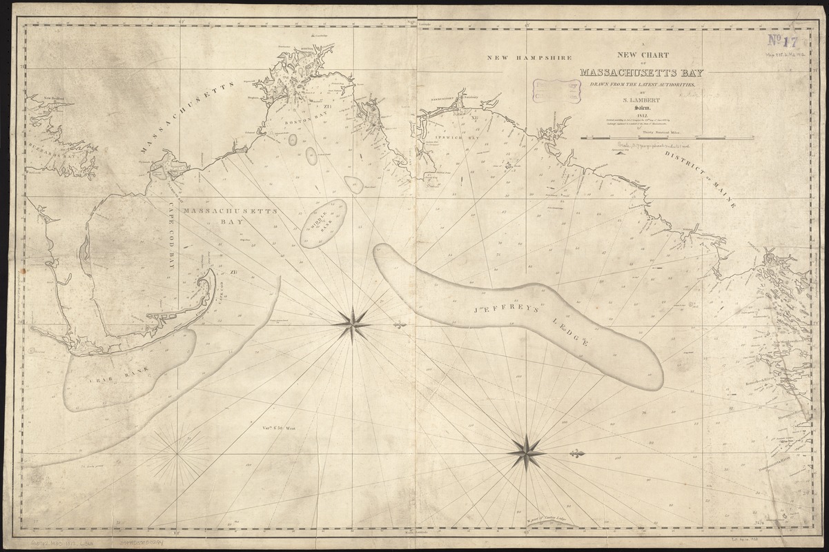
A new chart of Massachusetts Bay drawn from the latest authorities
A new chart of Massachusetts Bay drawn from the latest authorities
×
Item Information
Title:
A new chart of Massachusetts Bay drawn from the latest authorities
Creator:
Lambert, Samuel, 1768-1832
Name on Item:
by S. Lambert.
Date:
1812
Format:
Maps/Atlases
Location:
Boston Public Library
Norman B. Leventhal Map Center
Collection (local):
Norman B. Leventhal Map Center Collection
Subjects:
Nautical charts--Massachusetts--Massachusetts Bay
Massachusetts Bay (Mass.)--Maps
Places:
Massachusetts Bay
Extent:
1 chart ; 59 x 94 cm.
Permalink:
https://ark.digitalcommonwealth.org/ark:/50959/kk91fq967
Terms of Use:
No known copyright restrictions.
No known restrictions on use.
Publisher:
Salem [Mass.] : S. Lambert
Scale:
Scale ca. 1:235,000.
Language:
English
Notes:
Depths shown by soundings.
Oriented with north to the right.
Cataloging, conservation, and digitization made possible in part by The National Endowment for the Humanities: Exploring the human endeavor.
Identifier:
06_01_007245
Call #:
G3762.M33 1812 .L36x
Barcode:
39999059030294
show more...
View MODS XML
More Like This
Chart of Boston Harbor and Massachusetts Bay : with map of the ...
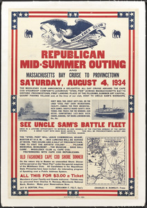
Republican mid-summer outing and Massachusetts Bay Cruise to ...
Massachusetts Bay with the coast from Cape Ann to Cape Cod
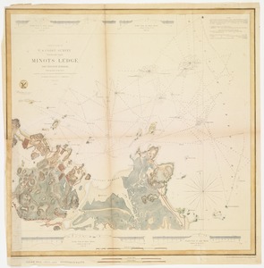
Minots Ledge off Boston Harbor : showing the proposed site of a ...
Find More Like This >>
Tools
Share
Facebook
Pinterest
X
Reddit
Tumblr
Email
Copy link
Add to Folder
Questions/Comments
Cite This Item
IIIF Manifest
Downloads
Primary (full resolution, uncompressed)
(TIF, 272 MB)
Large (full resolution)
(JPEG, 22.8 MB)
Medium
(JPEG, 298 KB)