Skip to search
Skip to main content
Digital Commonwealth
Sign Up / Log In
Search for
Search
Search
Search
Basic
Advanced
Explore
Map
Collections
Institutions
Formats
For Educators
Primary Source Sets
Lesson Plans
Using Primary Sources
Searching Digital Commonwealth
For Institutions
Join Digital Commonwealth
Conferences, Trainings, & Events
How to Contribute Collections
Digitization Services
Board & Committees
Frequently Asked Questions
About
About Digital Commonwealth
News & Announcements
Copyright & Terms of Use
Harmful Content Statement
Partners
API
Contact Us
Boston Public Library
Norman B. Leventhal Map Center Collection
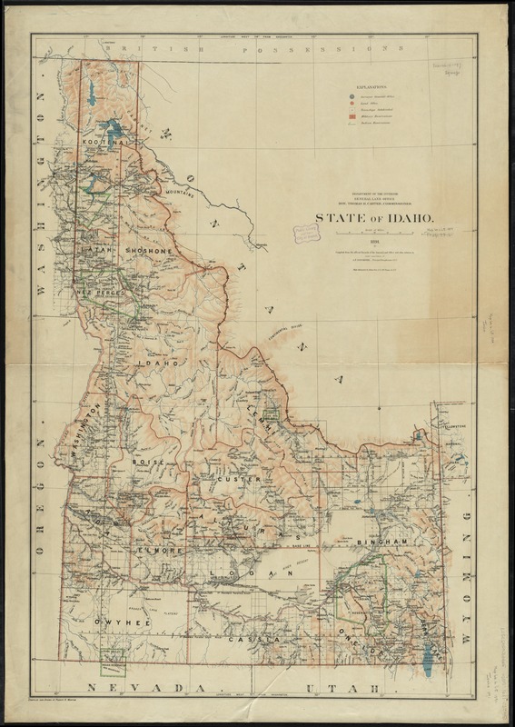
State of Idaho
State of Idaho
×
Item Information
Title:
State of Idaho
Creator:
United States. General Land Office
Name on Item:
compiled from the official records of the General Land Office and other sources by under supervision of A.F. Dinsmore, Principal Draughtsman G.L.O. ; compiled and drawn by Robert H. Morton.
Date:
1891
Format:
Maps/Atlases
Location:
Boston Public Library
Norman B. Leventhal Map Center
Collection (local):
Norman B. Leventhal Map Center Collection
Subjects:
Idaho--Maps
Places:
Idaho
Extent:
1 map : col. ; 100 x 67 cm.
Permalink:
https://ark.digitalcommonwealth.org/ark:/50959/7h14b354k
Terms of Use:
No known copyright restrictions.
No known restrictions on use.
Publisher:
[Washington, D.C.] : General Land Office, Dept. of the Interior
Scale:
Scale [ca. 1:834,000]
Language:
English
Notes:
Shows townships, counties, and Indian and military reservations.
Prime meridians: Greenwich and Washington.
Relief shown by shading.
Identifier:
06_01_008809
Call #:
G4270 1891 .U55x
Barcode:
39999065657577
show more...
View MODS XML
More Like This
Map of military reconnaissance from Fort Taylor to the Coeur ...
Map of military road from Fort Walla Walla on the Columbia to Fort ...
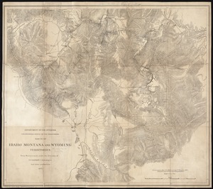
Parts of Idaho, Montana and Wyoming territories
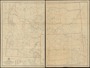
Post route map of the states of Montana, Idaho and Wyoming showing ...
Find More Like This >>
Tools
Share
Facebook
Pinterest
X
Reddit
Tumblr
Email
Copy link
Add to Folder
Questions/Comments
Cite This Item
IIIF Manifest
Downloads
Primary (full resolution, uncompressed)
(TIF, 309 MB)
Large (full resolution)
(JPEG, 26 MB)
Medium
(JPEG, 176 KB)
GeoTIFF (georeferenced)
(TIF, 418 MB)