Skip to search
Skip to main content
Digital Commonwealth
Sign Up / Log In
Search for
Search
Search
Search
Basic
Advanced
Explore
Map
Collections
Institutions
Formats
For Educators
Primary Source Sets
Lesson Plans
Using Primary Sources
Searching Digital Commonwealth
For Institutions
Join Digital Commonwealth
Conferences, Trainings, & Events
How to Contribute Collections
Digitization Services
Board & Committees
Frequently Asked Questions
About
About Digital Commonwealth
News & Announcements
Copyright & Terms of Use
Harmful Content Statement
Partners
API
Contact Us
Boston Public Library
Norman B. Leventhal Map Center Collection
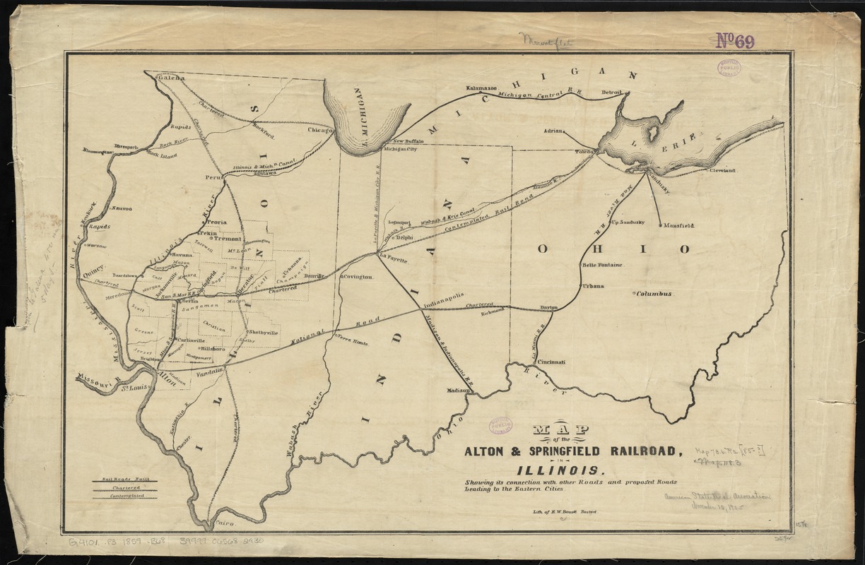
Map of the Alton & Springfield railroad, in Illinois : showing its connection with other roads and proposed roads leading to the eastern cities
Map of the Alton & Springfield railroad, in Illinois
×
Item Information
Title:
Map of the Alton & Springfield railroad, in Illinois : showing its connection with other roads and proposed roads leading to the eastern cities
Title (alt.):
Map of the Alton and Springfield railroad, in Illinois
Creator:
Bouvé, Ephraim W., 1817-1897
Name on Item:
lith. of E.W. Bouvé.
Date:
[1847–1859]
Format:
Maps/Atlases
Location:
Boston Public Library
Norman B. Leventhal Map Center
Collection (local):
Norman B. Leventhal Map Center Collection
Subjects:
Alton and Springfield Rail Road Company
Railroads--Illinois--Maps
Railroads--Indiana--Maps
Railroads--Ohio--Maps
Illinois--Maps
Places:
Illinois
Indiana
Ohio
Extent:
1 map ; 41 x 62 cm.
Permalink:
https://ark.digitalcommonwealth.org/ark:/50959/4m90f776b
Terms of Use:
No known copyright restrictions.
No known restrictions on use.
Publisher:
Boston : E.W. Bouvé
Scale:
Scale [ca. 1:1,500,000]
Language:
English
Notes:
Shows railroads built, chartered and contemplated.
Map also shows Indiana, Ohio and part of Michigan.
Notes (date):
This date is inferred.
Identifier:
06_01_011153
Call #:
G4101.P3 1859 .B68
Barcode:
39999065682930
show more...
View MODS XML
More Like This
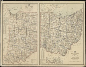
Post route map of the State of Ohio showing post offices with the ...
Post route map of the states of Ohio and Indiana with adjacent ...
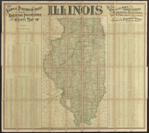
[Illinois]
The National Publishing Company's new railroad, post-office and ...
Find More Like This >>
Tools
Share
Facebook
Pinterest
X
Reddit
Tumblr
Email
Copy link
Add to Folder
Questions/Comments
Cite This Item
IIIF Manifest
Downloads
Primary (full resolution, uncompressed)
(TIF, 161 MB)
Large (full resolution)
(JPEG, 13.5 MB)
Medium
(JPEG, 283 KB)

![[Illinois]](https://bpldcassets.blob.core.windows.net/derivatives/images/commonwealth:4m90f716w/image_thumbnail_300.jpg)