Skip to search
Skip to main content
Digital Commonwealth
Sign Up / Log In
Search for
Search
Search
Search
Basic
Advanced
Explore
Map
Collections
Institutions
Formats
For Educators
Primary Source Sets
Lesson Plans
Using Primary Sources
Searching Digital Commonwealth
For Institutions
Join Digital Commonwealth
Conferences, Trainings, & Events
How to Contribute Collections
Digitization Services
Board & Committees
Frequently Asked Questions
About
About Digital Commonwealth
News & Announcements
Copyright & Terms of Use
Harmful Content Statement
Partners
API
Contact Us
Boston Public Library
Norman B. Leventhal Map Center Collection
/
Maritime Charts and Atlases (Collection of Distinction)
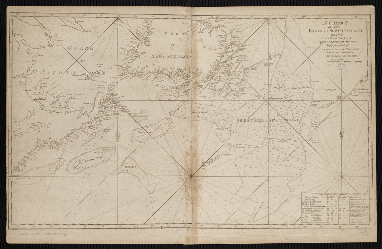
A chart of the Banks of Newfoundland
A chart of the Banks of Newfoundland
×
Item Information
Title:
A chart of the Banks of Newfoundland
Publisher:
Norman, John, 1748?-1817
Name on Item:
drawn from a great number of hydrographical surveys, chiefly from those of Chabert, Cook and Fleurieu, connected and ascertained by astronomical observations
Date:
[1794]
Format:
Maps/Atlases
Location:
Boston Public Library
Norman B. Leventhal Map Center
Collection (local):
Norman B. Leventhal Map Center Collection
Subjects:
Coasts--Newfoundland, Island of (N.L.)--Maps--Early works to 1800
Nautical charts--Grand Banks of Newfoundland--Early works to 1800
Grand Banks of Newfoundland--Maps--Early works to 1800
Newfoundland, Island of (N.L.)--Maps--Early works to 1800
Places:
Canada
>
Newfoundland and Labrador
(province)
>
Newfoundland
(island)
Grand Banks of Newfoundland
Extent:
1 map ; 47 x 83 cm
Permalink:
https://ark.digitalcommonwealth.org/ark:/50959/3f462z036
Terms of Use:
No known copyright restrictions.
No known restrictions on use.
Publisher:
[Boston] : [John Norman]
Scale:
Scale approximately 1:2,200,000
Language:
English
Notes:
Depths shown by soundings.
Includes table of astronomical observations.
In Norman's American pilot. Boston : John Norman, 1794.
Notes (date):
This date is inferred.
Identifier:
06_01_004808
Call #:
G1106.P5 N6 1794x
Barcode:
30000005058371
show more...
View MODS XML
More Like This
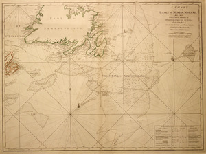
Chart of the banks of Newfoundland, drawn from a great number of ...
A chart of the Banks of Newfoundland
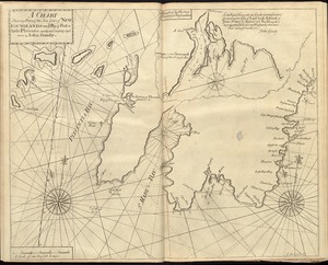
A chart shewing part of the sea coast of Newfoundland from ye Bay ...
Canada orientale nell' America Settentrionale
Find More Like This >>
Tools
Share
Facebook
Pinterest
X
Reddit
Tumblr
Email
Copy link
Add to Folder
Questions/Comments
Cite This Item
IIIF Manifest
Downloads
Primary (full resolution, uncompressed)
(TIF, 112 MB)
Large (full resolution)
(JPEG, 9.44 MB)
Medium
(JPEG, 364 KB)