Skip to search
Skip to main content
Digital Commonwealth
Sign Up / Log In
Search for
Search
Search
Search
Basic
Advanced
Explore
Map
Collections
Institutions
Formats
For Educators
Primary Source Sets
Lesson Plans
Using Primary Sources
Searching Digital Commonwealth
For Institutions
Join Digital Commonwealth
Conferences, Trainings, & Events
How to Contribute Collections
Digitization Services
Board & Committees
Frequently Asked Questions
About
About Digital Commonwealth
News & Announcements
Copyright & Terms of Use
Harmful Content Statement
Partners
API
Contact Us
Boston Public Library
Norman B. Leventhal Map & Education Center Collection
/
Maritime Charts and Atlases (Collection of Distinction)
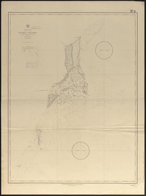
West Indies, Bahama Islands, Turk's Islands : from British surveys in 1830 and 1845, 1886
West Indies, Bahama Islands, Turks Islands
×
Item Information
Title:
West Indies, Bahama Islands, Turk's Islands : from British surveys in 1830 and 1845, 1886
Issuing body:
United States. Hydrographic Office
Engraver:
Ruebsam, A. C. (Adolph C.)
Engraver:
Sefton, W. P. (William P.)
Engraver:
Waddey, J. A. (John A.)
Name on Item:
drawn by A.C. Ruebsam ; engraved by W.P. Sefton and J.A. Waddey
Date:
[1889]
Format:
Maps/Atlases
Genre:
Nautical charts
Location:
Boston Public Library
Norman B. Leventhal Map & Education Center
Collection (local):
Norman B. Leventhal Map & Education Center Collection
Subjects:
Turks and Caicos Islands--Maps
Nautical charts--Turks and Caicos Islands
Places:
Turks and Caicos Islands
(territory)
Extent:
1 map ; 83 x 62 cm
Permalink:
https://ark.digitalcommonwealth.org/ark:/50959/1544h183w
Terms of Use:
No known copyright restrictions.
No known restrictions on use.
Publisher:
Washington, D.C. : Hydrographic Office
Edition:
Edition of February 1889
Scale:
Scale approximately 1:73,300
Language:
English
Notes:
Relief shown by shading, form lines and spot heights. Depths shown by soundings and isolines.
Notes (date):
This date is inferred.
Identifier:
06_01_017097
Call #:
G9096.P5 svar .U55 no. 1000
Barcode:
39999085954509
show more...
View MODS XML
More Like This
The 100th anniversary map of Abraham Lincoln's visit to ...
1630 shoreline
1879. Progress map of the U.S. Geographical Surveys west of the ...
1903 Map of Salem and surrounding places
Find More Like This >>
Tools
Share
Facebook
Pinterest
X
Reddit
Tumblr
Email
Copy link
Add to Folder
Questions/Comments
Cite This Item
IIIF Manifest
Downloads
Primary (full resolution, uncompressed)
(TIF, 119 MB)
Large (full resolution)
(JPEG, 9.97 MB)
Medium
(JPEG, 62.1 KB)