Search


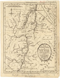
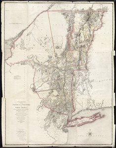
![A new map of part of the United States of North America, containing those of New York, Vermont, New Hampshire, Massachusets [sic], Connecticut, Rhode Island, Pennsylvania, New Jersey, Delaware, Maryland and Virginia](https://bpldcassets.blob.core.windows.net/derivatives/images/commonwealth:6t053p06v/image_thumbnail_300.jpg)


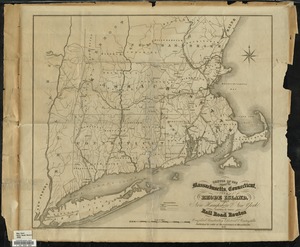


![A map of the most inhabited part of New England containing the provinces of Massachusets Bay and New Hampshire with the colonies of Connecticut and Rhode Island divided into counties and townships the w[h]ole composed from actual surveys and its situation adjusted by astronomical observations](https://bpldcassets.blob.core.windows.net/derivatives/images/commonwealth:6t053p316/image_thumbnail_300.jpg)


![Letter from Charles Calistus Burleigh, Plainfield, [Connecticut], to Samuel May, [18]50 [June] 26th](https://bpldcassets.blob.core.windows.net/derivatives/images/commonwealth:2z110g65z/image_thumbnail_300.jpg)


Limit your search
- Tichnor Brothers Postcard Collection142
- Norman B. Leventhal Map & Education Center Collection105
- Digitized Museum Collections97
- The Robert E. Brooker III Collection of American Legal and Land Use Documents, 1713-194562
- Boston and New England Maps (Collection of Distinction)61
- American Revolutionary War-Era Maps (Collection of Distinction)52
- American Artists44
- Thomas W. Nason (1889-1971). Prints and Drawings40