Skip to search
Skip to main content
Skip to first result
Digital Commonwealth
Folders
Sign Up / Log In
Search for
Search
Search
Search
Basic
Advanced
Explore
Map
Collections
Institutions
Formats
For Educators
Primary Source Sets
Lesson Plans
Using Primary Sources
Searching Digital Commonwealth
For Institutions
Join Digital Commonwealth
Conferences, Trainings, & Events
How to Contribute Collections
Digitization Services
Board & Committees
Frequently Asked Questions
About
About Digital Commonwealth
News & Announcements
Copyright & Terms of Use
Harmful Content Statement
Partners
API
Contact Us
Search
Search Constraints
Start Over
Save Search
Your search:
More Like
commonwealth-oai:ww72bj605
✖
Remove constraint More Like: commonwealth-oai:ww72bj605
« Prev.
|
101
-
120
of
368
|
Next »
Sort
by relevance
relevance
title
date (asc)
date (desc)
Number of results to display per page
20
per page
per page
10
per page
20
per page
50
per page
100
per page
View results as:
List
list view
Maps
map view
Gallery
grid view
Search Results
101.
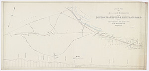
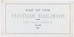
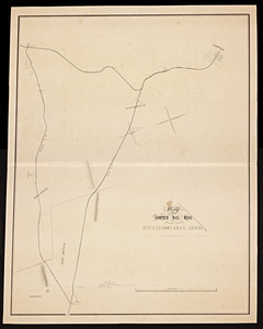
Map of the Chatham Railroad from Chatham to Harwich, Mass.
102.
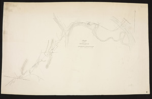
[Map of the Connecticut River from Springfield to Hadley].
103.
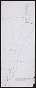
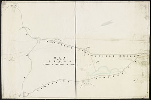
Map of the Falmouth Branch R.R. / H.C. Swift, civil engineer.
104.
Map of the Hampden Railroad in connection with the Western and Canal roads / W.H. and H.M. Butler, engineers.
105.
Map of the Hampden Railroads in connection with the Western and Canal roads.
106.
Map of the Hampshire & Hampden R.R. and proposed Springfield Branch / L.M.E. Stone, Chief engineer, H. & H. R. Road.
107.
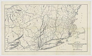
Map of the Hudson River & Berkshire R.R. and its connections / by H.F. Keith, chief engineer.
108.
[Map of the Massachusetts Central railroad from Boston to North Adams]
109.
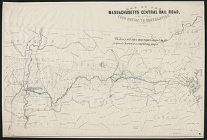
Map of the Massachusetts Central railroad from Boston to Northampton.
110.
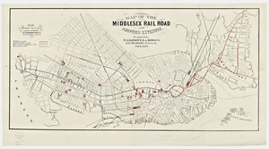
Map of the Middlesex railroad and proposed extension
111.
Map of the projected New Bedford and Fall River Railway / from surveys by George E. Church, engineer.
112.
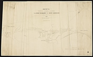
Map of the proposed branch railroad from West Roxbury to West Dedham from surveys made in 1847 for railroad from Boston to...
113.
Map of the proposed extension of the Boston, Hartford & Erie Railroad from Brookline to Boston / S.L. Minot, engineer.
114.
Map of the proposed railroad from Springfield to Risings Notch.
115.
Map of the proposed railroad route from Connecticut State line to the Western railroad in Westfield.
116.
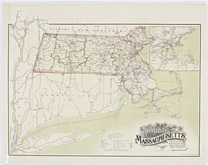
Map of the railroads of the state of Massachusetts / prepared under supervision of George C. Crocker, Edward W. Kinsley,...
117.
Map of the railroads of the state of Massachusetts: accompanying the report of the Railroad Commissioners.
118.
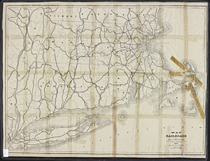
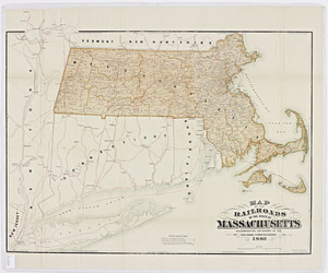
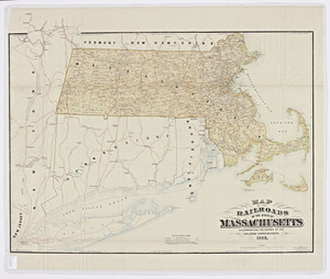
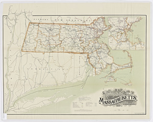
Map of the railroads of the state of Massachusetts: accompanying the report of the Railroad Commissioners.
119.
Map of the railroads of the state of Massachusetts: accompanying the report of the Railroad Commissioners.
120.
Map of the railroads of the state of Massachusetts: accompanying the report of the Railroad Commissioners
« Previous
Next »
1
2
3
4
5
6
7
8
9
10
…
18
19
Limit your search
Subject
Railroads--Massachusetts
59
Railroads--Massachusetts--Maps
13
Massachusetts--Maps
9
Old Colony Railroad
8
Boston and Maine Railroad--Maps
7
Massachusetts. Board of Railroad Commissioners
7
Massachusetts. Public Service Commission
7
Public utilities--Massachusetts
7
more
Subject
»
Place
North and Central America
368
United States
368
Massachusetts
356
Middlesex (county)
91
Suffolk (county)
72
Boston
71
Norfolk (county)
46
Essex (county)
43
more
Place
»
Format
Maps/Atlases
269
Documents
99
Date
View distribution
Current results range from
1827
to
1919
Date range begin
Date range end
View larger »
Unknown
56
Collection
Massachusetts Board of Railroad Commissioners
368
Institution
State Library of Massachusetts
368
![[Map of the Connecticut River from Springfield to Hadley].](https://bpldcassets.blob.core.windows.net/derivatives/metadata/commonwealth-oai:bv73cg33j/image_thumbnail_300.jpg)

![[Map of the Massachusetts Central railroad from Boston to North Adams]](https://bpldcassets.blob.core.windows.net/derivatives/metadata/commonwealth-oai:kd17d845j/image_thumbnail_300.jpg)