Skip to search
Skip to main content
Skip to first result
Digital Commonwealth
Folders
Sign Up / Log In
Search for
Search
Search
Search
Basic
Advanced
Explore
Map
Collections
Institutions
Formats
For Educators
Primary Source Sets
Lesson Plans
Using Primary Sources
Searching Digital Commonwealth
For Institutions
Join Digital Commonwealth
Conferences, Trainings, & Events
How to Contribute Collections
Digitization Services
Board & Committees
Frequently Asked Questions
About
About Digital Commonwealth
News & Announcements
Copyright & Terms of Use
Harmful Content Statement
Partners
API
Contact Us
Search
Search Constraints
Start Over
Save Search
Your search:
More Like
commonwealth:z603vh42q
✖
Remove constraint More Like: commonwealth:z603vh42q
1
-
15
of
15
Sort
by relevance
relevance
title
date (asc)
date (desc)
Number of results to display per page
20
per page
per page
10
per page
20
per page
50
per page
100
per page
View results as:
List
list view
Maps
map view
Gallery
grid view
Search Results
1.
Carte de la Nouvelle Angleterre, Nouvelle Yorck, et Pensilvanie : pour servir à l'Histoire générale des voyages
2.
Carte du havre de Chibucto avec le plan de la ville de Halifax sur la coste de l'Accadia ou Nova Scotia latitude 44° 31ʹ
3.
Carte d'une partie de l'Amérique Septentrionale
4.
A chart of the Atlantic Ocean : its islands and the adjacent continents: In which the British Dominions in Europe and America,...
5.
A chart of the Banks of Newfoundland
6.
Map for the interior travels through America : delineating the march of the army
7.
Map of part of the continent of North America : whereon is laid down the Missouri, Jeffersons, Lewis's, Clarks, and the...
8.
A map of the British and French dominions in North America : with the roads, distances, limits, and extent of the settlements
9.
Map of the seat of the late war at Boston in the state of Massachusetts
10.
A map of the state of Pennsylvania
11.
Partie orientale de la Nouvelle France ou du Canada : avec l'isle de Terre-Neuve et de Nouvelle Escosse, Acadie et Nouv....
12.
Plan de Boston : cette ville est composée de quatre mille maisons, et d'environ vingt mille habitans, on compte par an jusqu'a...
13.
Plan de la baie et du havre de Casco et des îles adjacentes
14.
A sketch of Charleston Harbour : shewing the disposition of the British fleet under the command of Vice Adml. Mariot Arbuthnot...
15.
Waldo Patent, District of Maine between 1798 and 1802
Limit your search
Subject
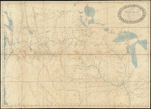
North America--Maps--Early works to 1800
2
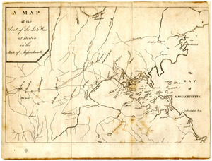
United States--History--Revolution, 1775-1783--Maps--Early works to 1800
2
Acadia--Maps--Early works to 1800
1
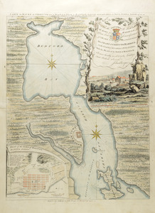
Bedford Bay (N.S.)--Maps--Early works to 1800
1
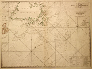
Belfast Bay (Me.)--Maps--Early works to 1800
1
Boston (Mass.)--Maps
1
Boston Region (Mass.)--Maps--Early works to 1800
1
British--America--Maps--Early works to 1800
1
more
Subject
»
Place
North and Central America
10
United States
7
Boston
2
Canada
2
North America
2
Suffolk (county)
2
Bedford Bay
1
Belfast Bay
1
more
Place
»
Format
Maps/Atlases
15
Manuscripts
2
Available to use
Creative Commons license
9
Date
View distribution
Current results range from
1750
to
1808
Date range begin
Date range end
View larger »
Collection
American Revolutionary War-Era Maps (Collection of Distinction)
15
Boston Athenaeum, Cartographic Collection
15
Boston and New England Maps (Collection of Distinction)
1
Institution
Boston Athenaeum
15