Search

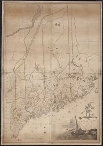
![[Map of the area along the Saint Croix River in Maine and New Brunswick]](https://bpldcassets.blob.core.windows.net/derivatives/images/commonwealth:6108vt00n/image_thumbnail_300.jpg)


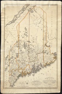
![Map of the disputed territory [Maine]](https://bpldcassets.blob.core.windows.net/derivatives/images/commonwealth:7h14b025h/image_thumbnail_300.jpg)

Limit your search
Current results range from 1750 to 1963
- American Antiquarian Society Collection138
- American Revolutionary War-Era Maps (Collection of Distinction)138
- Norman B. Leventhal Map Center Collection33
- Boston and New England Maps (Collection of Distinction)28
- David Judkins Weaver Papers1
- Maritime Charts and Atlases (Collection of Distinction)1
- Massachusetts Historical Society Map Collection1
- Sidney R. Knafel Map Collection at Phillips Academy1