Search


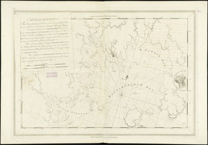

![[Southwest coast of Nova Scotia from Cape Sable to Cape St. Mary]](https://bpldcassets.blob.core.windows.net/derivatives/images/commonwealth:9g54xk749/image_thumbnail_300.jpg)
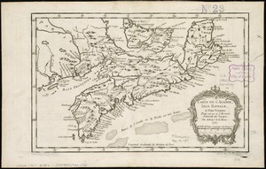
![[St. Peter's Bay, on the south shore of Cape Breton Island]](https://bpldcassets.blob.core.windows.net/derivatives/images/commonwealth:ws859h094/image_thumbnail_300.jpg)
![Atlantic Neptune [front matter]](https://bpldcassets.blob.core.windows.net/derivatives/images/commonwealth:3f462w98b/image_thumbnail_300.jpg)


Limit your search
- North and Central America8,676
- United States7,601
- Massachusetts4,954
- Suffolk (county)3,345
- Boston3,205
- Europe1,359
- Middlesex (county)618
- Canada448
Current results range from 1482 to 2023
- Norman B. Leventhal Map & Education Center Collection11,387
- Boston and New England Maps (Collection of Distinction)5,125
- Urban Maps (Collection of Distinction)4,857
- Maritime Charts and Atlases (Collection of Distinction)1,081
- American Revolutionary War-Era Maps (Collection of Distinction)614
- Boston Redevelopment Authority Collection87
- Mapping Boston Collection1