Search
This site is currently undergoing maintenance and some features may be unavailable. We apologize for the inconvenience.
×
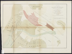
![[Chart of Boston Harbor and the surrounding areas]](https://bpldcassets.blob.core.windows.net/derivatives/images/commonwealth:6108vs71d/image_thumbnail_300.jpg)


Limit your search
- North and Central America8,115
- United States6,732
- Suffolk (county)3,627
- Boston3,487
- Massachusetts3,320
- Europe963
- Middlesex (county)619
- Canada427
- Norman B. Leventhal Map Center Collection11,036
- Boston and New England Maps (Collection of Distinction)5,239
- Urban Maps (Collection of Distinction)4,967
- Maritime Charts and Atlases (Collection of Distinction)754
- American Revolutionary War-Era Maps (Collection of Distinction)625
- Boston Redevelopment Authority Collection193
- Massachusetts Board of Harbor and Land Commissioners74
- Historic Maps60