Skip to search
Skip to main content
Digital Commonwealth
Sign Up / Log In
Search for
Search
Search
Search
Basic
Advanced
Explore
Map
Collections
Institutions
Formats
For Educators
Primary Source Sets
Lesson Plans
Using Primary Sources
Searching Digital Commonwealth
For Institutions
Join Digital Commonwealth
Conferences, Trainings, & Events
How to Contribute Collections
Digitization Services
Board & Committees
Frequently Asked Questions
About
About Digital Commonwealth
News & Announcements
Copyright & Terms of Use
Harmful Content Statement
Partners
API
Contact Us
Boston Public Library
Norman B. Leventhal Map Center Collection
/
Boston and New England Maps (Collection of Distinction)
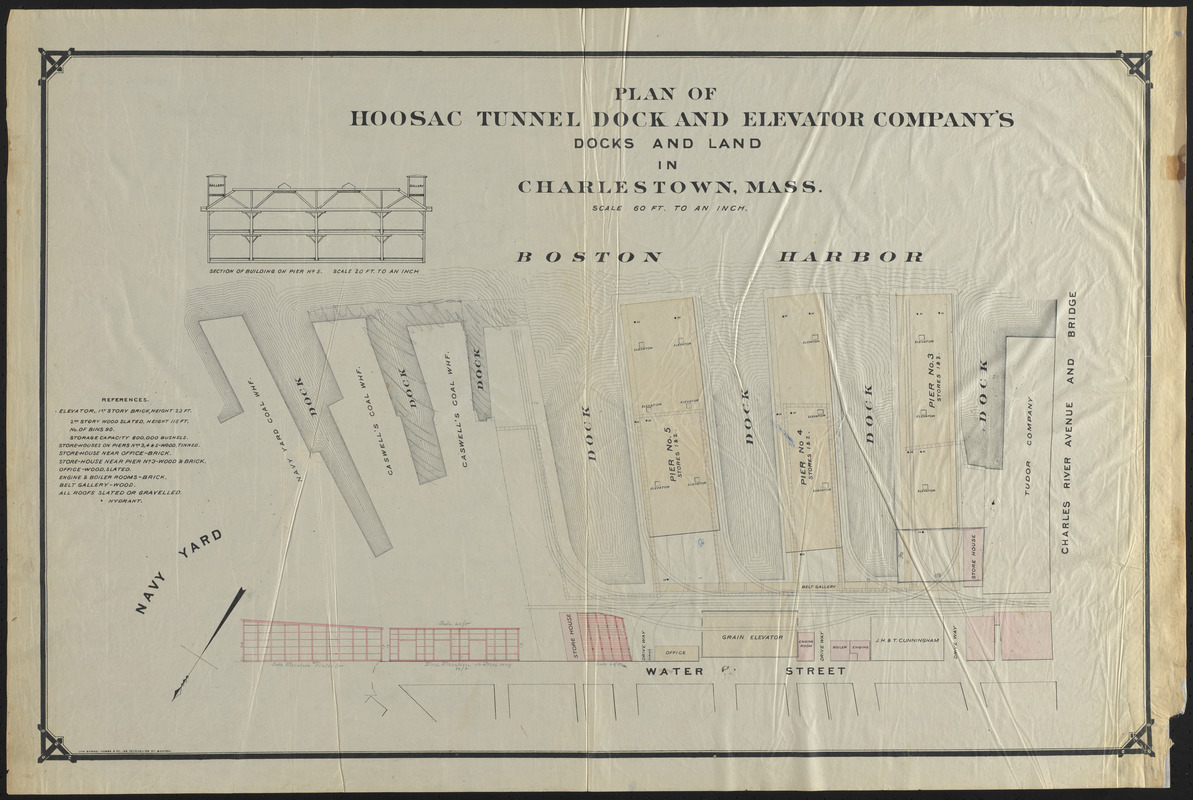
Plan of Hoosac Tunnel Dock and Elevator Company's docks and land in Charlestown, Mass.
Plan of Hoosac Tunnel Dock and Elevator Companys docks and land in Charlestown, Mass.
×
Item Information
Title:
Plan of Hoosac Tunnel Dock and Elevator Company's docks and land in Charlestown, Mass.
Lithographer:
Samuel Hobbs & Company
Date:
[1880–1889]
Format:
Maps/Atlases
Location:
Boston Public Library
Norman B. Leventhal Map Center
Collection (local):
Norman B. Leventhal Map Center Collection
Subjects:
Docks--Massachusetts--Boston--Maps
Landowners--Massachusetts--Boston--Maps
Piers--Massachusetts--Boston--Maps
Wharves--Massachusetts--Boston--Maps
Charlestown (Boston, Mass.)--Maps
Hoosac Tunnel Dock and Elevator Company
Places:
Suffolk (county)
>
Boston
>
Charlestown
Extent:
1 map : color ; 51 x 80 cm
Permalink:
https://ark.digitalcommonwealth.org/ark:/50959/ht2503184
Terms of Use:
No known copyright restrictions.
No known restrictions on use.
Publisher:
Boston : Lith. Samuel Hobbs & Co., 169 Devonshire St.
Scale:
Scale 1:720
Language:
English
Notes:
Oriented with north to the lower left.
Shows piers, elevators, storehouses and other buildings.
Includes section of building on pier no. 5.
Includes references describing building materials, heights and other features.
Notes (date):
This date is inferred.
Identifier:
06_01_016450_B
Call #:
G3764.B6:2C38P55 1880z .P53
Barcode:
39999085950549
show more...
View MODS XML
More Like This
Map of Boston inner harbor
Plan of City Wharf in Boston, Mass : shewing 14 lots of land on ...
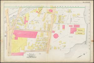
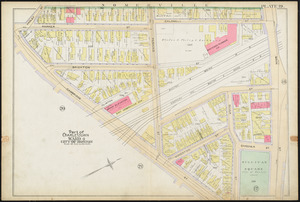
Atlas of the city of Boston : Charlestown : plate 18
Atlas of the city of Boston : Charlestown : plate 19
Find More Like This >>
Tools
Share
Facebook
Pinterest
X
Reddit
Tumblr
Email
Copy link
Add to Folder
Questions/Comments
Cite This Item
IIIF Manifest
Downloads
Primary (full resolution, uncompressed)
(TIF, 108 MB)
Large (full resolution)
(JPEG, 9.03 MB)
Medium
(JPEG, 285 KB)