Skip to search
Skip to main content
Skip to first result
Digital Commonwealth
Folders
Sign Up / Log In
Search for
Search
Search
Search
Basic
Advanced
Explore
Map
Collections
Institutions
Formats
For Educators
Primary Source Sets
Lesson Plans
Using Primary Sources
Searching Digital Commonwealth
For Institutions
Join Digital Commonwealth
Conferences, Trainings, & Events
How to Contribute Collections
Digitization Services
Board & Committees
Frequently Asked Questions
About
About Digital Commonwealth
News & Announcements
Copyright & Terms of Use
Harmful Content Statement
Partners
API
Contact Us
Search
Search Constraints
Start Over
Save Search
Your search:
More Like
commonwealth:qv33t708z
✖
Remove constraint More Like: commonwealth:qv33t708z
« Prev.
|
201
-
250
of
647
|
Next »
Sort
by relevance
relevance
title
date (asc)
date (desc)
Number of results to display per page
50
per page
per page
10
per page
20
per page
50
per page
100
per page
View results as:
List
list view
Maps
map view
Gallery
grid view
Search Results
201.
Open Fields, Pastures, Abandoned Fields, and House Influence Zones in Petersham
202.
Open Lands in Petersham 1970
203.
Open Lands in Petersham, 1974
204.
Parcel 568 - Estate of Susan Willard Flint
205.
Parcel 576, Robert A. Clark and Fifi Scoufopoulos Land
206.
Petersham Cellar Holes
207.
Petersham Map Showing State, Town, and Discontinued Roads
208.
Petersham Property Map Atlas - Map Key
209.
Petersham Property Map Delineating Open Water, Swamps, Slopes 8-15%, 15+%
210.
Petersham property maps
211.
Petersham property maps
212.
Petersham property maps
213.
Petersham property maps
214.
Petersham property maps
215.
Petersham property maps
216.
Petersham State Forest
217.
Petersham Trail Map
218.
Physical features, including topography of Tom Swamp North
219.
Physical features, including topography of Tom Swamp South
220.
Pisgah Border and Research Plot Location Map
221.
Pisgah Tract
222.
Pisgah Tract - Location of 1927 plots. old growth plots and stump plots
223.
Pisgah Tract - Stand Types
224.
Pisgah Tract - Stand Types
225.
Pisgah Tract - Stand Types - Cruise Lines
226.
Pisgah Tract - Stand Types - Cruise Lines
227.
Pisgah Tract Lot Surveyed Bearings-Magnetic
228.
Pisgah Tract Plot Map
229.
Plan of Adams lot and other land
230.
Plan of Adonai Shomo land
231.
Plan of J. W. Brooks Land
232.
Plan of Land Block A-Matthews Plantation 2008
233.
Plan of Land Cutler Road (Block A) Matthews Plantation
234.
Plan of Land Cutler Road (Blocks C, D, E) Matthews Plantation
235.
Plan of Land in Petersham - Estate of Georgina P. (Fisher) Howland
236.
Plan of Land in Petersham - owned by Petersham Country Club
237.
Plan of Land in Royalston Mass Owned by The President Fellows of Harvard College Plan No 140
238.
Plan of land of John Lincoln Waldo (TS X)
239.
Plan of land owned by Richard Neil Bryant, Petersham, MA
240.
Plan of Land Sold - Tall Timbers
241.
Plan of property line - Simes Tract
242.
Plan of proposed Federation of Women's Clubs State Forest 1930
243.
Plan of proposed golf course, Petersham County Club
244.
Plan of the Petersham State Forest
245.
Plan of the Petersham State Forest
246.
Plan of the town of Petersham, 1795, showing roads, mills, etc.
247.
Plan Showing Property - Tall Timbers
248.
Plane Table Traverse of Harvard Farm 1911
249.
Plantation Maps of Prospect Hill Tract
250.
Plantation Maps of Slab City Tract
« Previous
Next »
1
2
3
4
5
6
7
8
9
…
12
13
Limit your search
Subject
Boundaries
151
Forest operations
46
1937
44
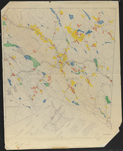
1938
41
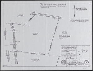
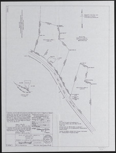
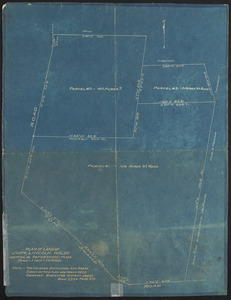
Hurricanes
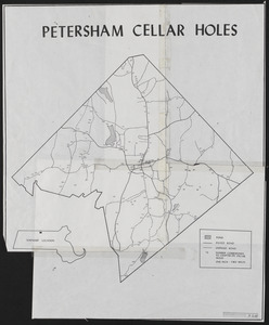
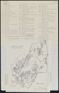
37
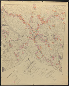
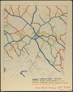
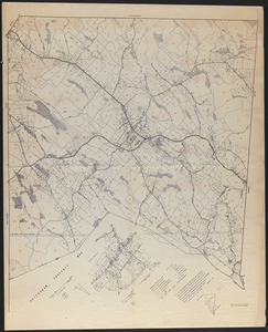
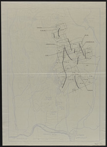
Land use
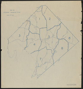
37
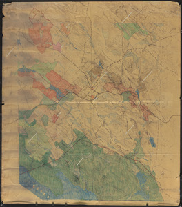
1946
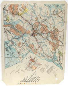
31
Forest Operations
27
more
Subject
»
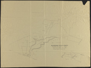
Place
North and Central America
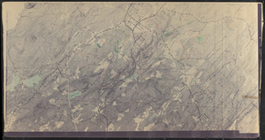
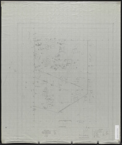
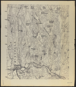
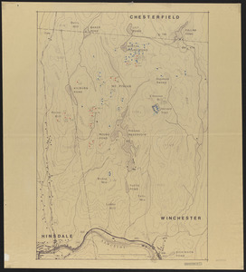
647
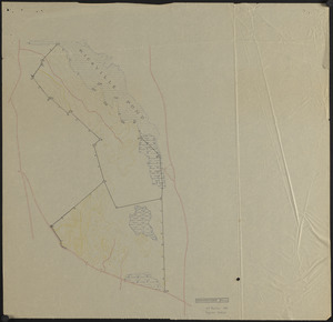
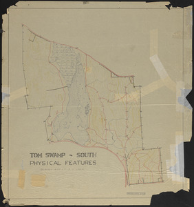
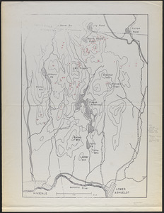
United States
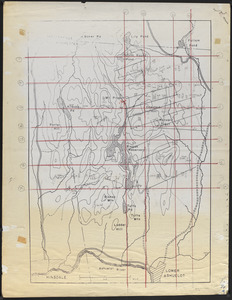
647
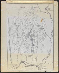
Massachusetts
623
Worcester (county)
596
Petersham
587
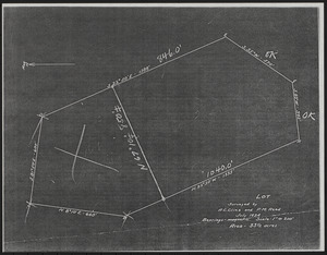
Tom Swamp
157
Prospect Hill
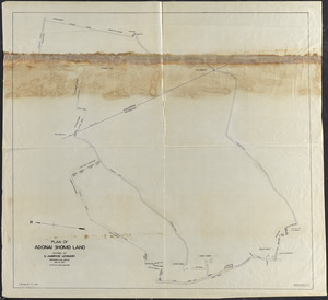
153
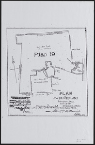
Tom Swamp Tract
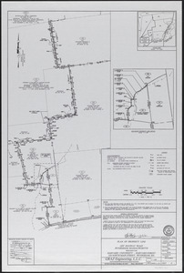
96
more
Place
»
Format
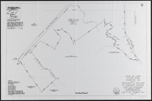
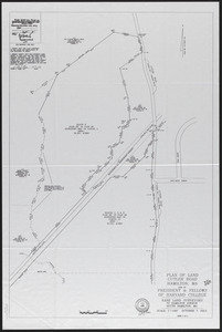
Maps/Atlases
646
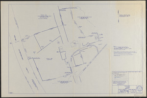
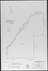
Manuscripts
4
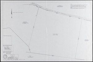
Photographs
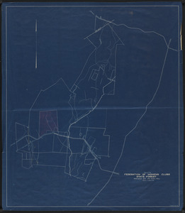
1
Available to use
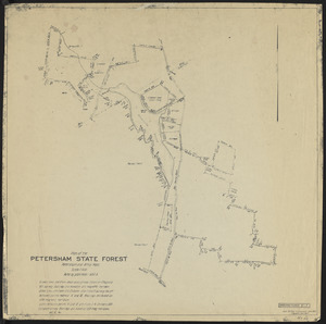
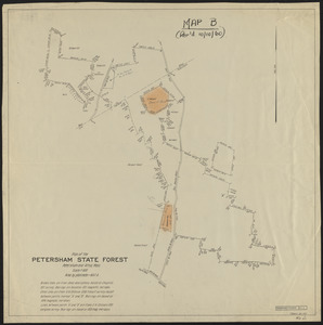
Creative Commons license
647
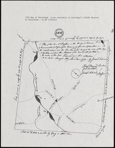
Date
View distribution
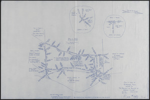
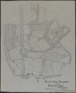
Current results range from
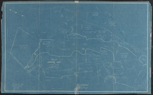
1755
to
2016
Date range begin
Date range end
View larger »
Collection
The Harvard Forest Map Collection
647
Institution
Harvard University
647