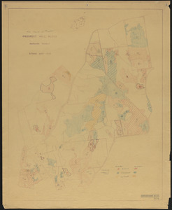
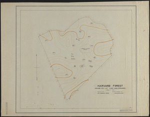
Pisgah Tract
Item Information
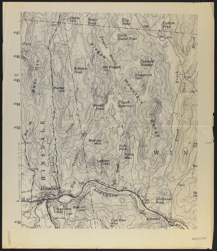
- Title:
- Pisgah Tract
- Description:
-
Pisgah Tract - blow up of USGS map topography
- Creator:
- Geological Survey (U.S.)
- Date:
-
1907–2014
- Format:
-
Maps/Atlases
- Genre:
-
Topographic maps
- Location:
-
Harvard University
Harvard Forest Archives
Stack # 2; Drawer # 10 (shelf locator) - Collection (local):
-
The Harvard Forest Map Collection
- Places:
-
New HampshireCheshire (county)Pisgah, Mount (peak)
New HampshireCheshire (county)Winchester
Pisgah Tract
- Extent:
- 1 map : black and white ; 36 x 42 in.
- Permalink:
- https://ark.digitalcommonwealth.org/ark:/50959/qv33td55c
- Terms of Use:
-
Public Domain
This work is licensed for use under a Creative Commons Attribution Non-Commercial No Derivatives License (CC BY-NC-ND).