Skip to search
Skip to main content
Skip to first result
Digital Commonwealth
Folders
Sign Up / Log In
Search for
Search
Search
Search
Basic
Advanced
Explore
Map
Collections
Institutions
Formats
For Educators
Primary Source Sets
Lesson Plans
Using Primary Sources
Searching Digital Commonwealth
For Institutions
Join Digital Commonwealth
Conferences, Trainings, & Events
How to Contribute Collections
Digitization Services
Board & Committees
Frequently Asked Questions
About
About Digital Commonwealth
News & Announcements
Copyright & Terms of Use
Harmful Content Statement
Partners
API
Contact Us
Search
Search Constraints
Start Over
Save Search
Your search:
More Like
commonwealth:qb98nm020
✖
Remove constraint More Like: commonwealth:qb98nm020
« Prev.
|
21
-
40
of
1,055
|
Next »
Sort
by relevance
relevance
title
date (asc)
date (desc)
Number of results to display per page
20
per page
per page
10
per page
20
per page
50
per page
100
per page
View results as:
List
list view
Maps
map view
Gallery
grid view
Search Results
21.
Captain's Id. Harbor and Greenwich, Conn., Port Chester, N.Y.
22.
Cataumet, Wenaumet, Monument Beach and Onset, Mass.
23.
Channels to Hong Kong and Macao
24.
Chart of Chatham Bay and Stage Harbor
25.
A chart of the Bay of Biscay, with various additions & improvements from the surveys of Tofino, Mechain, & others
26.
A chart of the Cape Verd Islands
27.
Chart of the coast of Africa from the Strait of Gibraltar to Sierra Leone
28.
Chart of the coast of California from San Blas to San Francisco
29.
Chart of the coast of China, from the Canton River to the Yang Tze Keang
30.
Chart of the East and West coasts of South America, extending from the River Plate round Cape Horn to Valparaiso, with plans fo...
31.
Chart of the North Atlantic Ocean from the most recent British, French, Spanish, Potuguese, Belgian, Ducth, German, Danish, and...
32.
Chart of the South Atlantic Ocean from the equator to 65 south latitude, from the most recent British, French, and Brazilian...
33.
A chart of the western coast of Africa, extending from Sierra Leone and the Isles de Los, to the Cape of Good Hope. With...
34.
A chart showing the navigation through the Strait of Malacca, to Singapore, &c
35.
Chesapeake Bay from head of bay to Magothy River
36.
Chesapeake Bay from Magothy River to Choptank River
37.
Chesapeake Bay, sheet no. 1, York River, Hampton Roads, Chesapeake entrance
38.
Chesapeake Bay, sheet no. 2, Rappahannock entrance, Mobjack Bay, Cherrystone Inlet
39.
Chesapeake Bay, sheet no. 3, Potomac entrance, Tangier and Pocomoke Sounds
40.
China Sea
« Previous
Next »
1
2
3
4
5
6
…
52
53
Limit your search
Subject
Islands
895
Harbors
316
Forts & fortifications
187
Neighborhoods
176
Long Island Hospital (Boston, Mass.)
134
Coastlines
62
Piers & wharves
48
Hospitals
46
more
Subject
»
Place
North and Central America
842
United States
795
Massachusetts
604
Suffolk (county)
388
Boston
237
Castle Island
182
South Boston
181
Fort Independence
179
more
Place
»
Format
Photographs
707
Maps/Atlases
169
Prints
117
Postcards/Cards
63
Drawings/Illustrations
34
Manuscripts
10
Paintings
7
Albums/Scrapbooks
4
more
Format
»
Available to use
Creative Commons license
611
No known restrictions
363
Date
View distribution
Current results range from
1729
to
2002
Date range begin
Date range end
View larger »
Unknown
7
Collection
Boston Pictorial Archive (Collection of Distinction)
416
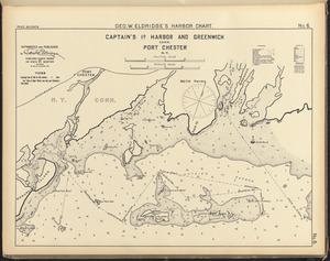
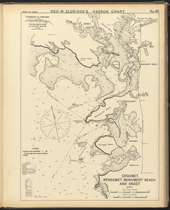
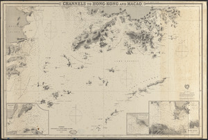
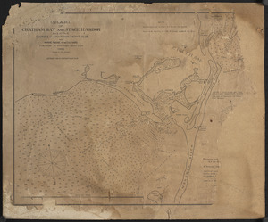
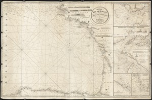
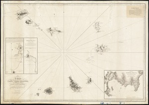
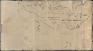
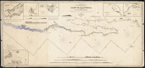
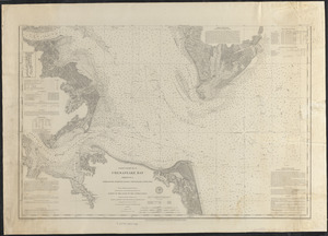
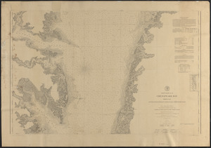
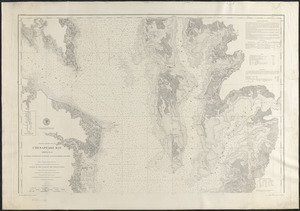
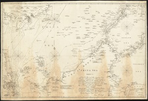
Nautical Chart Collection of the Chatham Historical Society
167
Photographs of the First Naval District
73
Project DOCUMERICA Photographs by Ernst Halberstadt
62
Ellen F. O'Connor Collection
49
Travel Photography
49
American Artists
37
Nicholas Catsimpoolas Collection
32
more
Collection
»
Institution
Boston Public Library
699
Atwood Museum of the Chatham Historical Society
167
National Archives at Boston
76
Phillips Library at the Peabody Essex Museum
31
Newburyport Public Library
24
Falmouth Public Library
13
Emmanuel College
7
New Bedford Free Public Library
6
more
Institution
»