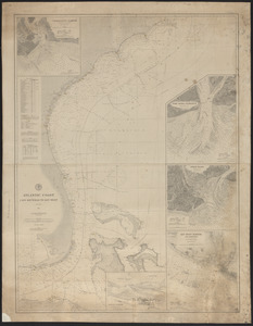
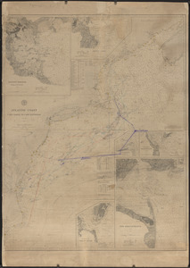
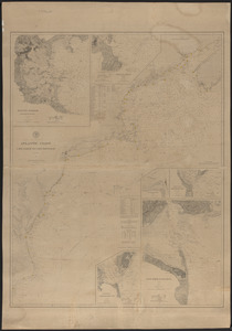
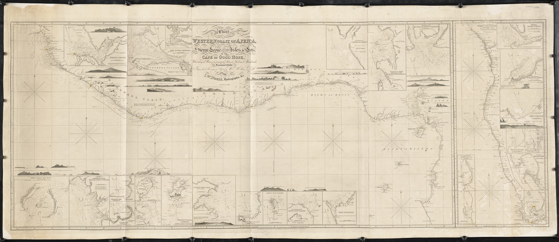
A chart of the western coast of Africa, extending from Sierra Leone and the Isles de Los, to the Cape of Good Hope. With enlarged plans of the principal islands, harbors & roadsteads
Item Information
- Title:
- A chart of the western coast of Africa, extending from Sierra Leone and the Isles de Los, to the Cape of Good Hope. With enlarged plans of the principal islands, harbors & roadsteads
- Creator:
- Norie, J. W. (John William), 1772-1843
- Name on Item:
-
Constructed chiefly from the surveys of Captain W.F.W. Own, R.N. By I.W. Norie, hydrographer, &c. Additions, &c. 1860.
- Date:
-
January 1, 1834
- Format:
-
Maps/Atlases
- Genre:
-
Nautical charts
- Location:
- Atwood Museum of the Chatham Historical Society
- Collection (local):
-
Nautical Chart Collection of the Atwood Museum, Chatham Historical Society
- Extent:
- 1 map : hand col. ; 65 x 197 cm.
- Permalink:
- https://ark.digitalcommonwealth.org/ark:/50959/n87107197
- Terms of Use:
-
No known copyright restrictions.
This work is licensed for use under a Creative Commons Attribution Non-Commercial No Derivatives License (CC BY-NC-ND).