Skip to search
Skip to main content
Skip to first result
Digital Commonwealth
Folders
Sign Up / Log In
Search for
Search
Search
Search
Basic
Advanced
Explore
Map
Collections
Institutions
Formats
For Educators
Primary Source Sets
Lesson Plans
Using Primary Sources
Searching Digital Commonwealth
For Institutions
Join Digital Commonwealth
Conferences, Trainings, & Events
How to Contribute Collections
Digitization Services
Board & Committees
Frequently Asked Questions
About
About Digital Commonwealth
News & Announcements
Copyright & Terms of Use
Harmful Content Statement
Partners
API
Contact Us
Search
Search Constraints
Start Over
Save Search
Your search:
More Like
commonwealth:qb98nk72g
✖
Remove constraint More Like: commonwealth:qb98nk72g
« Prev. |
1
-
20
of
613
|
Next »
Sort
by date (asc)
relevance
title
date (asc)
date (desc)
Number of results to display per page
20
per page
per page
10
per page
20
per page
50
per page
100
per page
View results as:
List
list view
Maps
map view
Gallery
grid view
Search Results
1.
View of Boston, from the bay
2.
China Sea
3.
Pillion Rocks
4.
This chart, intended as an accompaniment to the book of directions for navigating to, from, and in the East Indies
5.
A chart of the Bay of Biscay, with various additions & improvements from the surveys of Tofino, Mechain, & others
6.
The north eastern coast of North America, New York to Cape Canso, including Sable Island
7.
A chart of the western coast of Africa, extending from Sierra Leone and the Isles de Los, to the Cape of Good Hope. With...
8.
Australia, South Coast, Port Phillip
9.
The coasts of West Florida, Alabama, Mississippi & Louisiana; from the surveys of Gauld improved by those of the U.S....
10.
South America, coast of Peru
11.
A chart of the Cape Verd Islands
12.
The north coast of the Gulf of Mexico for St. Marks to Galveston
13.
Straat Madura. Eild. Java no. 5. Zuider Breedle
14.
The Sandwich Islands, from various but imperfect authorities
15.
Kaart der Moluksche Eilanden en Vaarwaters, benevens een blad met verchillende plannen volgens de laatste Hydrographische...
16.
Chart of the coast of China, from the Canton River to the Yang Tze Keang
17.
The Bahama Banks and Gulf of Florida
18.
Map of Delaware Bay and River
19.
Map of Delaware River
20.
Chart of the coast of California from San Blas to San Francisco
« Previous
Next »
1
2
3
4
5
…
30
31
Limit your search
Subject
Bays (Bodies of water)
468
Boats
106
Bodies of water
85
Harbors
64
Transportation
52
Coastlines
50
Houses
47
Sailboats
44
more
Subject
»
Place
North and Central America
380
United States
346
Massachusetts
234
Barnstable (county)
114
Europe
89
Lewis Bay
60
Greece
52
West Yarmouth
52
more
Place
»
Format
Photographs
190
Maps/Atlases
170
Prints
162
Postcards/Cards
140
Drawings/Illustrations
4
Paintings
2
Manuscripts
1
Available to use
Creative Commons license
369
No known restrictions
208
Date
View distribution
Current results range from
1807
to
2001
Date range begin
Date range end
View larger »
Collection
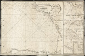
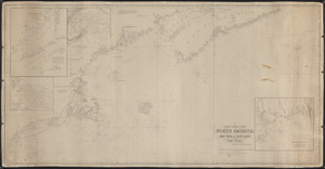
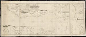
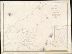
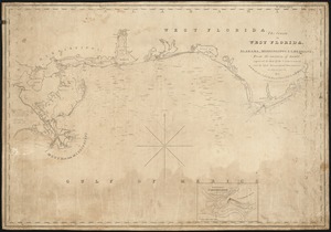
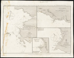
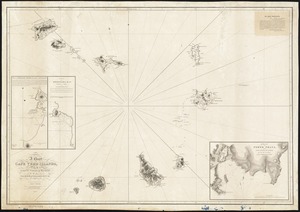
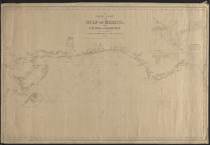
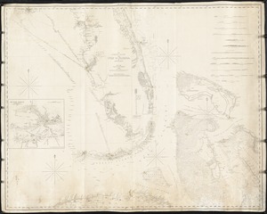
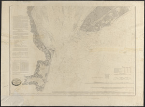
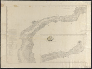
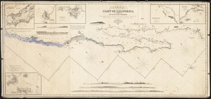
Nautical Chart Collection of the Chatham Historical Society
167
Historical Society of Old Yarmouth Archives and Local History Collection
94
American Artists
91
Nicholas Catsimpoolas Collection
56
Charles H. Woodbury (1864-1940). Prints, Drawings, Watercolors, Oil Paintings, and Copper Plates
50
Historical Postcards, c. 1880-1965
32
Tichnor Brothers Postcard Collection
26
British Artists
23
more
Collection
»
Institution
Boston Public Library
271
Atwood Museum of the Chatham Historical Society
167
Historical Society of Old Yarmouth
95
Fall River Public Library
32
Thomas Crane Public Library
23
Phillips Library at the Peabody Essex Museum
12
American Legion Museum
4
Coast Guard Heritage Museum
3
more
Institution
»