Search


![Af[ter t]he hurricane, Cedar [Gr]ove Cemetery](https://bpldcassets.blob.core.windows.net/derivatives/images/commonwealth:8623mm18k/image_thumbnail_300.jpg)

Limit your search
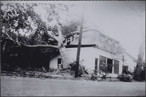
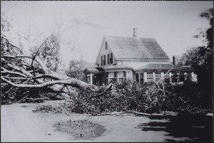
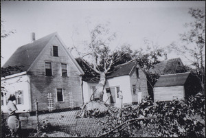
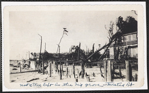
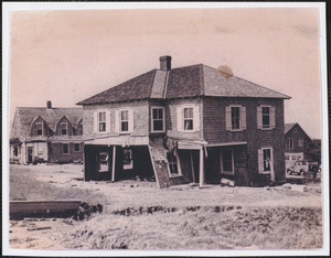
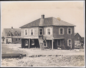
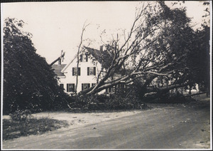
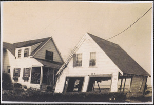
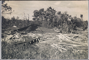
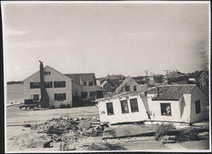
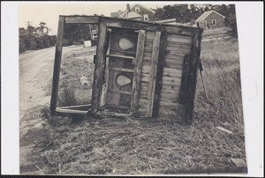
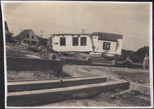
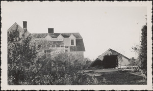
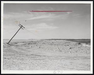
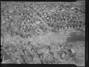
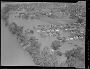
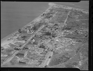
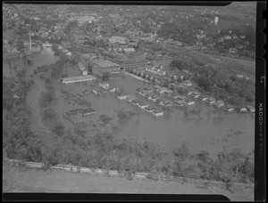
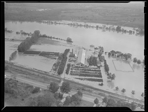
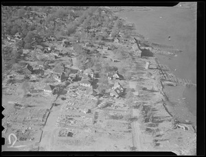
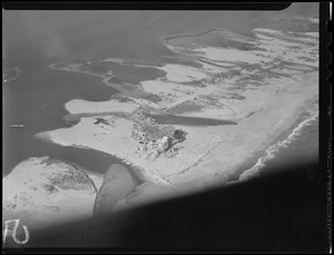
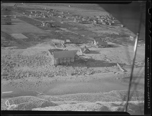
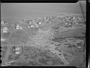
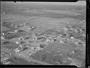
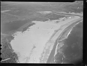
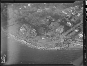
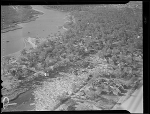
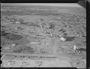
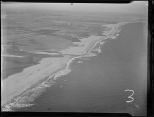
- Hurricanes1,957
- New England Hurricane, 1938385
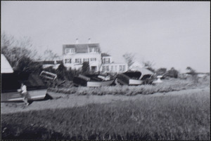
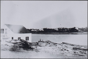
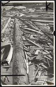
- Debris261
- Maps215
- Hurricane Edna, 1954178
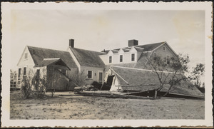
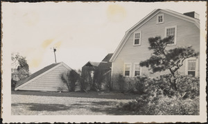
- Houses174
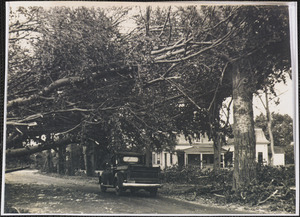
- Trees166
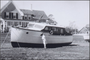
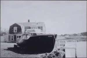
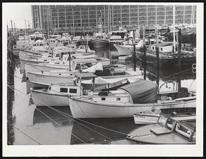
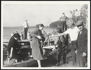
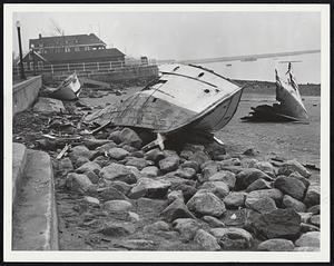
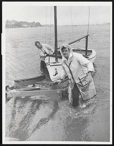
- Boats134
- Boston Herald-Traveler Photo Morgue943
- Leslie Jones Collection316
- Press Photography from the Brearley Collection147
- Historical Society of Old Yarmouth Archives and Local History Collection117
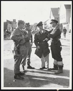
- Civil Defense Photographs90
- Arthur Griffin Photographs40
- Barnstable Patriot Photograph Collection, 1931-197839
- The Harvard Forest Map Collection37
- Boston Public Library1,450
- Historical Society of Old Yarmouth117
- National Archives at Boston90
- Harvard University62
- Griffin Museum of Photography40
- Cape Cod Community College39
- Special Collections and University Archives, University of Massachusetts Amherst Libraries32
- Phillips Library at the Peabody Essex Museum27