Skip to search
Skip to main content
Skip to first result
Digital Commonwealth
Folders
Sign Up / Log In
Search for
Search
Search
Search
Basic
Advanced
Explore
Map
Collections
Institutions
Formats
For Educators
Primary Source Sets
Lesson Plans
Using Primary Sources
Searching Digital Commonwealth
For Institutions
Join Digital Commonwealth
Conferences, Trainings, & Events
How to Contribute Collections
Digitization Services
Board & Committees
Frequently Asked Questions
About
About Digital Commonwealth
News & Announcements
Copyright & Terms of Use
Harmful Content Statement
Partners
API
Contact Us
Search
Search Constraints
Start Over
Save Search
Your search:
More Like
commonwealth:m326m470g
✖
Remove constraint More Like: commonwealth:m326m470g
« Prev.
|
7,441
-
7,460
of
10,999
|
Next »
Sort
by relevance
relevance
title
date (asc)
date (desc)
Number of results to display per page
20
per page
per page
10
per page
20
per page
50
per page
100
per page
View results as:
List
list view
Maps
map view
Gallery
grid view
Search Results
7441.
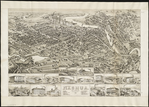
Nashua, New Hampshire
7442.
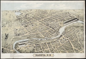
Nashua, N.H : 1875
7443.
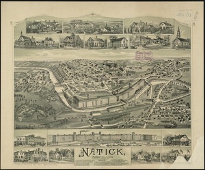
Natick, Rhode Island
7444.
A nation of immigrants
7445.
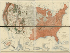
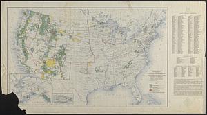
National forests
7446.
National forests, state forests, national parks, national monuments and Indian reservations
7447.
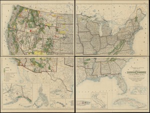
National Forests with related projects and data
7448.
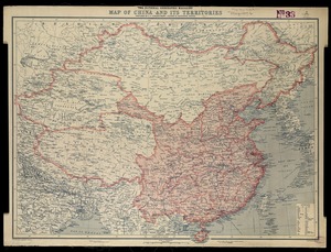
National Geographic Magazine map of China and its territories
7449.
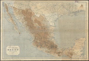
The National Geographic Magazine map of Mexico
7450.
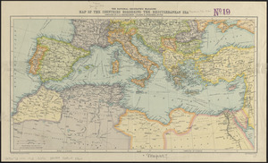
The National Geographic magazine map of the countries bordering the Mediterranean Sea
7451.
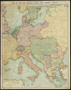
The National Geographic magazine map of the new Balkan states and Central Europe
7452.
National Highways map of the state of Massachusetts showing one thousand miles of national highways proposed by the National...
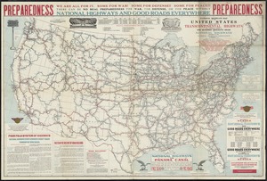
7453.
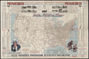
National highways map of the United States showing one hundred fifty thousand miles of national highways proposed by the...
7454.
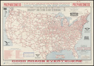
National highways map of the United States showing one hundred thousand miles of national highways proposed by the National...
7455.
National highways map of the United States showing principal transcontinental highways and connecting system of one hundred...
7456.
National map of New England states Vermont, New Hampshire, Massachusetts, Connecticut, Rhode Island and Maine showing counties...
7457.
National map of the United States
7458.
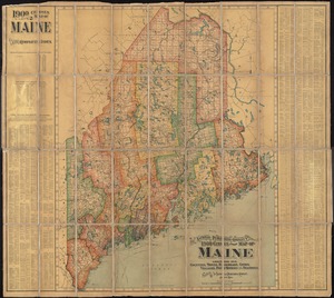
The National Publishing Company's 1900 census map of Maine : showing all counties, towns, railroads, cities, villages, post...
7459.
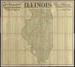
The National Publishing Company's new railroad, post-office and county map of Illinois : with complete index of all...
7460.
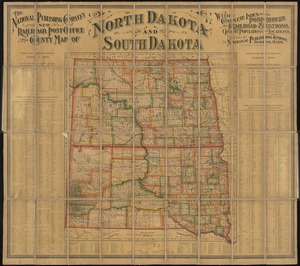
The National Publishing Company's new railroad, post-office and county map of North Dakota and South Dakota : with complete...
« Previous
Next »
1
2
…
369
370
371
372
373
374
375
376
377
…
549
550
Limit your search
Subject
Real property--Massachusetts--Boston--Maps
2,278
Landowners--Massachusetts--Boston--Maps
2,117
Boston (Mass.)--Maps
1,966
Roxbury (Boston, Mass.)--Maps
351
Dorchester (Boston, Mass.)--Maps
317
Cambridge (Mass.)--Maps
266
Brookline (Mass.)--Maps
236
Real property--Massachusetts--Cambridge--Maps
216
more
Subject
»
Place
North and Central America
7,813
United States
6,432
Suffolk (county)
3,337
Boston
3,197
Massachusetts
3,166
Europe
963
Middlesex (county)
617
Canada
427
more
Place
»
Format
Maps/Atlases
10,940
Manuscripts
215
Prints
51
Books
35
Objects/Artifacts
10
Drawings/Illustrations
8
Posters
4
Available to use
No known restrictions
10,931
Creative Commons license
46
Date
View distribution
Current results range from
1482
to
2023
Date range begin
Date range end
View larger »
Collection
Norman B. Leventhal Map Center Collection
10,999
Boston and New England Maps (Collection of Distinction)
5,104
Urban Maps (Collection of Distinction)
4,845
Maritime Charts and Atlases (Collection of Distinction)
750
American Revolutionary War-Era Maps (Collection of Distinction)
615
Boston Redevelopment Authority Collection
86
Institution
Boston Public Library
10,999