Search

Limit your search
- North and Central America12,722
- United States12,602
- Massachusetts10,889
- Essex (county)4,225
- Suffolk (county)2,375
- Boston2,129
- Lawrence1,616
- Middlesex (county)1,322
- Photographs10,124
- Postcards/Cards2,111
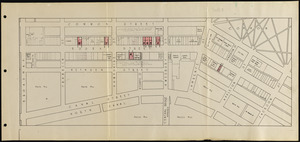
- Maps/Atlases1,707
- Manuscripts1,568
- Prints1,137
- Drawings/Illustrations88
- Paintings59
- Documents55
- Bill Lane Photograph Collection1,199
- Project DOCUMERICA Photographs by Ernst Halberstadt754
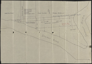
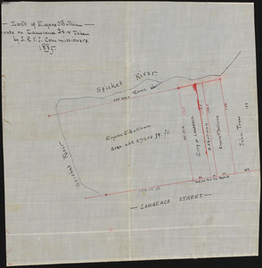
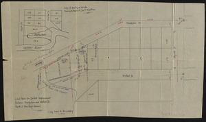
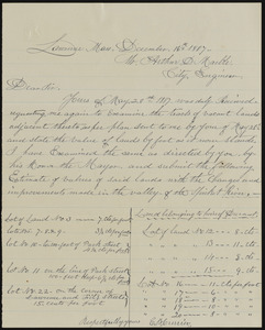
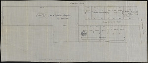
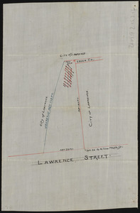
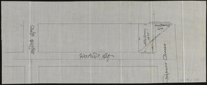
- Lawrence, Mass. Engineering Department. City Sewers720
- Lawrence, Mass. Engineering Department. City Streets667
- Arlington Historical Society Collection639
- Tichnor Brothers Postcard Collection585
- Historical Society of Old Yarmouth Archives and Local History Collection544
- Stereograph Collection477